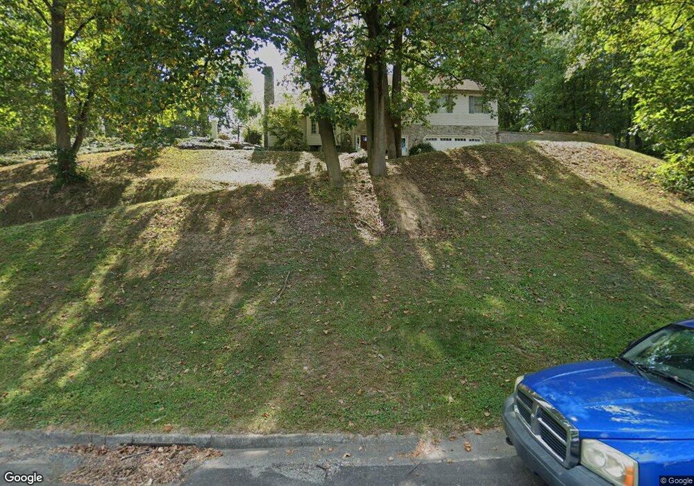
4122 Forrest Rd Mount Joy, PA 17552
Farmdale NeighborhoodEstimated Value: $484,165 - $506,000
5
Beds
4
Baths
2,208
Sq Ft
$224/Sq Ft
Est. Value
About This Home
This home is located at 4122 Forrest Rd, Mount Joy, PA 17552 and is currently estimated at $494,041, approximately $223 per square foot. 4122 Forrest Rd is a home located in Lancaster County with nearby schools including Farmdale Elementary School, Landisville Middle School, and Hempfield High School.
Ownership History
Date
Name
Owned For
Owner Type
Purchase Details
Closed on
Feb 16, 2000
Sold by
Whb Properties
Bought by
Metzler Frederick D and Metzler Michelle L
Current Estimated Value
Home Financials for this Owner
Home Financials are based on the most recent Mortgage that was taken out on this home.
Original Mortgage
$352,000
Outstanding Balance
$108,882
Interest Rate
8.15%
Mortgage Type
Construction
Estimated Equity
$385,160
Create a Home Valuation Report for This Property
The Home Valuation Report is an in-depth analysis detailing your home's value as well as a comparison with similar homes in the area
Home Values in the Area
Average Home Value in this Area
Purchase History
| Date | Buyer | Sale Price | Title Company |
|---|---|---|---|
| Metzler Frederick D | $104,000 | -- |
Source: Public Records
Mortgage History
| Date | Status | Borrower | Loan Amount |
|---|---|---|---|
| Open | Metzler Frederick D | $352,000 |
Source: Public Records
Tax History
| Year | Tax Paid | Tax Assessment Tax Assessment Total Assessment is a certain percentage of the fair market value that is determined by local assessors to be the total taxable value of land and additions on the property. | Land | Improvement |
|---|---|---|---|---|
| 2025 | $6,319 | $280,200 | $52,800 | $227,400 |
| 2024 | $6,319 | $280,200 | $52,800 | $227,400 |
| 2023 | $6,198 | $280,200 | $52,800 | $227,400 |
| 2022 | $6,034 | $280,200 | $52,800 | $227,400 |
| 2021 | $5,915 | $280,200 | $52,800 | $227,400 |
| 2020 | $5,915 | $280,200 | $52,800 | $227,400 |
| 2019 | $5,818 | $280,200 | $52,800 | $227,400 |
| 2018 | $1,222 | $280,200 | $52,800 | $227,400 |
| 2017 | $5,546 | $215,700 | $47,500 | $168,200 |
| 2016 | $5,435 | $215,700 | $47,500 | $168,200 |
| 2015 | $1,095 | $215,700 | $47,500 | $168,200 |
| 2014 | $4,073 | $215,700 | $47,500 | $168,200 |
Source: Public Records
Map
Nearby Homes
- 4260 Fairview Rd
- 851 Penny Ln
- 4336 Heather Ln Unit 11
- 4334 Heather Ln Unit 10
- 4331 Heather Ln Unit 44
- 4333 Heather Ln Unit 43
- 4337 Heather Ln Unit 41
- 4335 Heather Ln Unit 42
- 4324 Heather Ln Unit 5
- 4326 Heather Ln Unit 6
- 4328 Heather Ln Unit 7
- 520 Pitney Rd
- 4330 Heather Ln Unit 8
- 4309 Marietta Ave
- 122 Erica Ln
- 118 Erica Ln
- 202 Lindsey Dr
- 415 Hempfield Hill Rd
- 427 Hempfield Hill Rd
- 419 LOT # 7 Hempfield Hill Rd
- 4118 Forrest Rd
- 4126 Forrest Rd
- 4117 Forrest Rd
- 4121 Forrest Rd
- 4125 Forrest Rd
- 4113 Forrest Rd
- 4114 Forrest Rd
- 4129 Forrest Rd
- 4109 Forrest Rd
- 4116 Millbrook Rd
- 4112 Millbrook Rd
- 4120 Millbrook Rd
- 733 High Ridge Rd
- 766 Farmdale Rd
- 770 Farmdale Rd
- 4108 Millbrook Rd
- 4122 Millbrook Rd
- 4110 Forrest Rd
- 762 Farmdale Rd
- 4130 Forrest Rd
Your Personal Tour Guide
Ask me questions while you tour the home.