Estimated Value: $824,000 - $1,001,000
4
Beds
3
Baths
4,443
Sq Ft
$200/Sq Ft
Est. Value
About This Home
This home is located at 4122 N 400 W Unit 109, Lehi, UT 84043 and is currently estimated at $886,876, approximately $199 per square foot. 4122 N 400 W Unit 109 is a home located in Utah County with nearby schools including Belmont Elementary, Skyridge High School, and Ignite Entrepreneurship Academy.
Ownership History
Date
Name
Owned For
Owner Type
Purchase Details
Closed on
Nov 24, 2014
Sold by
Wasatch Land Company
Bought by
Ford Abraham and Ford Megan
Current Estimated Value
Home Financials for this Owner
Home Financials are based on the most recent Mortgage that was taken out on this home.
Original Mortgage
$356,300
Outstanding Balance
$271,826
Interest Rate
3.89%
Mortgage Type
New Conventional
Estimated Equity
$615,050
Create a Home Valuation Report for This Property
The Home Valuation Report is an in-depth analysis detailing your home's value as well as a comparison with similar homes in the area
Home Values in the Area
Average Home Value in this Area
Purchase History
| Date | Buyer | Sale Price | Title Company |
|---|---|---|---|
| Ford Abraham | -- | Affiliated First Title Co |
Source: Public Records
Mortgage History
| Date | Status | Borrower | Loan Amount |
|---|---|---|---|
| Open | Ford Abraham | $356,300 |
Source: Public Records
Tax History Compared to Growth
Tax History
| Year | Tax Paid | Tax Assessment Tax Assessment Total Assessment is a certain percentage of the fair market value that is determined by local assessors to be the total taxable value of land and additions on the property. | Land | Improvement |
|---|---|---|---|---|
| 2025 | $3,626 | $431,310 | $255,700 | $528,500 |
| 2024 | $3,626 | $424,380 | $0 | $0 |
| 2023 | $3,431 | $435,985 | $0 | $0 |
| 2022 | $3,239 | $398,970 | $0 | $0 |
| 2021 | $3,080 | $573,600 | $175,300 | $398,300 |
| 2020 | $2,904 | $534,500 | $162,300 | $372,200 |
| 2019 | $2,649 | $507,000 | $162,300 | $344,700 |
| 2018 | $2,767 | $500,500 | $155,800 | $344,700 |
| 2017 | $2,546 | $244,860 | $0 | $0 |
| 2016 | $2,456 | $219,175 | $0 | $0 |
| 2015 | $2,130 | $180,400 | $0 | $0 |
Source: Public Records
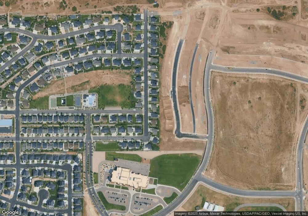
Map
Nearby Homes
- Oakridge Plan at Inverness
- Harmony Plan at Inverness
- Timberlake Plan at Inverness
- Kirkhill Plan at Inverness
- Hamilton Plan at Inverness
- Sydney Plan at Inverness
- Beechwood Plan at Inverness
- Oakley Plan at Inverness
- Dalton Plan at Inverness
- Maclean Plan at Inverness
- Elgin Plan at Inverness
- Overton Plan at Inverness
- Monroe Plan at Inverness
- Broadford Plan at Inverness
- Cullin Plan at Inverness
- Dunbar Plan at Inverness
- Aviemore Plan at Inverness
- Irvine Plan at Inverness
- Mckenzie Plan at Inverness
- Dogwood Plan at Inverness
- 4096 N 400 W
- 4096 N 400 W Unit 108
- 4144 N 400 W Unit 323
- 4082 N 400 W Unit 107
- 4166 N 400 W Unit 322
- 4131 N 400 W Unit 110
- 413 W 4100 N Unit 111
- 4151 N 400 W Unit 324
- 4233 Braiken Ridge Dr Unit 37975507
- 4233 Braiken Ridge Dr Unit 37975516
- 4068 N 400 W Unit 106
- 4180 N 400 W
- 4180 N 400 W Unit 321
- 4173 N 400 W
- 4173 N 400 W Unit 325
- 435 W 4100 N Unit 229
- 418 W 4050 N Unit 112
- 4202 N 400 W Unit 320
- 4202 N 400 W
- 436 W 4050 N Unit 113