4122 Wrexham Dr Unit 1 Snellville, GA 30039
Estimated Value: $106,299 - $459,000
--
Bed
--
Bath
--
Sq Ft
6.03
Acres
About This Home
This home is located at 4122 Wrexham Dr Unit 1, Snellville, GA 30039 and is currently estimated at $202,825. 4122 Wrexham Dr Unit 1 is a home located in Gwinnett County with nearby schools including Anderson-Livsey Elementary School, Shiloh Middle School, and Shiloh High School.
Ownership History
Date
Name
Owned For
Owner Type
Purchase Details
Closed on
Aug 18, 2014
Sold by
Noje Camelia
Bought by
Duran Ruben B
Current Estimated Value
Purchase Details
Closed on
Sep 30, 2013
Sold by
Matasaru Sara
Bought by
Noje Camelia
Purchase Details
Closed on
May 28, 2013
Sold by
Northeast Georgia Bank
Bought by
Matasaru Sara
Purchase Details
Closed on
May 23, 2013
Sold by
Federal Deposit Insurance Corporation
Bought by
Northeast Georgia Bank
Purchase Details
Closed on
Nov 6, 2008
Sold by
Spivey Robert and Spivey Linda
Bought by
Freedom Bk Of Ga
Purchase Details
Closed on
Nov 5, 2003
Sold by
Spivey Virginia J
Bought by
Spivey Robert B and Spivey Linda
Home Financials for this Owner
Home Financials are based on the most recent Mortgage that was taken out on this home.
Original Mortgage
$144,000
Interest Rate
6%
Mortgage Type
New Conventional
Create a Home Valuation Report for This Property
The Home Valuation Report is an in-depth analysis detailing your home's value as well as a comparison with similar homes in the area
Home Values in the Area
Average Home Value in this Area
Purchase History
| Date | Buyer | Sale Price | Title Company |
|---|---|---|---|
| Duran Ruben B | $42,500 | -- | |
| Noje Camelia | $28,000 | -- | |
| Matasaru Sara | $24,000 | -- | |
| Northeast Georgia Bank | -- | -- | |
| Freedom Bk Of Ga | $400,536 | -- | |
| Spivey Robert B | $148,500 | -- |
Source: Public Records
Mortgage History
| Date | Status | Borrower | Loan Amount |
|---|---|---|---|
| Previous Owner | Spivey Robert B | $144,000 |
Source: Public Records
Tax History Compared to Growth
Tax History
| Year | Tax Paid | Tax Assessment Tax Assessment Total Assessment is a certain percentage of the fair market value that is determined by local assessors to be the total taxable value of land and additions on the property. | Land | Improvement |
|---|---|---|---|---|
| 2024 | $1,185 | $26,360 | $26,360 | -- |
| 2023 | $1,185 | $26,360 | $26,360 | $0 |
| 2022 | $733 | $14,600 | $14,600 | $0 |
| 2021 | $743 | $14,600 | $14,600 | $0 |
| 2020 | $747 | $14,600 | $14,600 | $0 |
| 2019 | $608 | $11,200 | $11,200 | $0 |
| 2018 | $609 | $11,200 | $11,200 | $0 |
| 2016 | $609 | $11,200 | $11,200 | $0 |
| 2015 | $614 | $11,200 | $11,200 | $0 |
| 2014 | $616 | $11,200 | $11,200 | $0 |
Source: Public Records
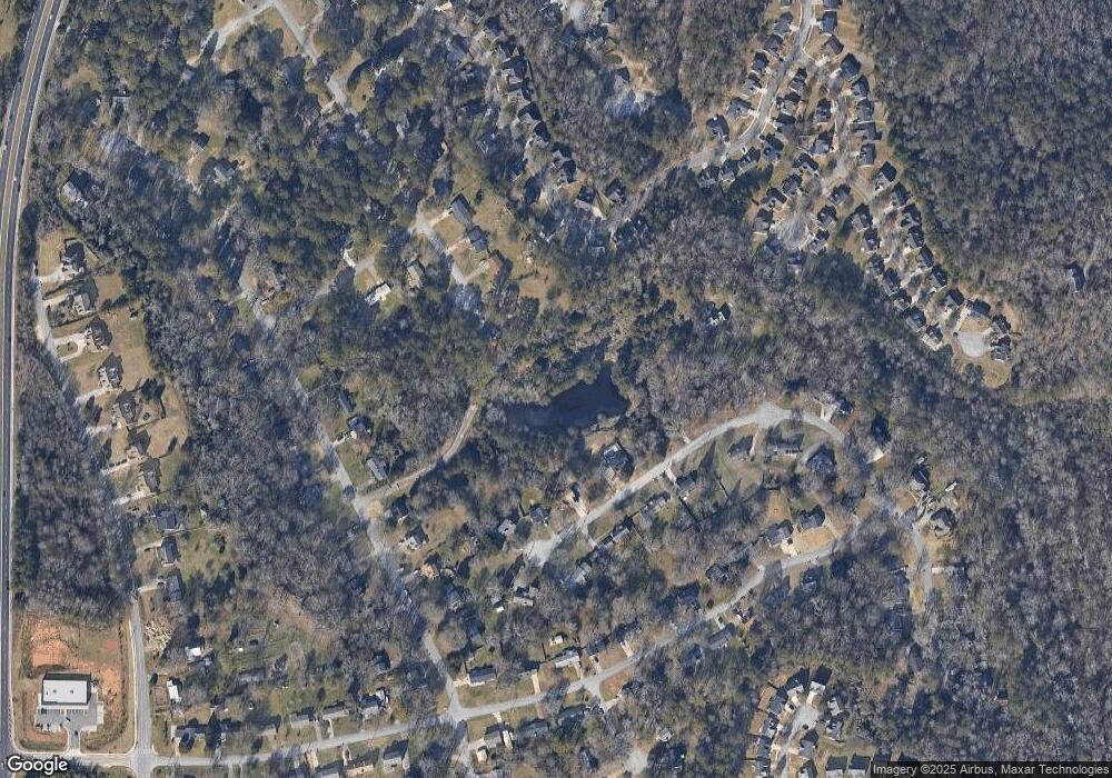
Map
Nearby Homes
- 4111 Wrexham Dr
- 4237 Shoreside Cir Unit 1
- 4211 Crestside Ridge
- 3992 Wrexham Dr
- 4107 Round Stone Trail
- 1 Anderson Livsey Ln
- 3906 Laurens Ln
- 4212 Medlock River Ct
- 4357 James Wade Dr
- 3885 Laurens Ln
- 4311 Marci St
- 3926 Yosemite Park Ln
- 0 Anderson Livsey Ln Unit 10621987
- 4462 Lee Rd
- 4341 Horder Ct
- 4216 Preserve Trail
- 3915 Laurel Brook Way Unit 2
- 4122 Wrexham Dr
- 5014 Huddersfield Dr
- 5004 Huddersfield Dr
- 4090 S Fork Dr
- 4070 S Fork Dr
- 4060 S Fork Dr
- 4094 Huddersfield Dr
- 4127 Shoreside Cir Unit 1
- S S Fork Dr
- 4137 Shoreside Cir
- 4100 S Fork Dr
- 4117 Shoreside Cir
- 4147 Shoreside Cir Unit 1
- 4084 Huddersfield Dr
- 4071 S Fork Dr
- 4110 S Fork Dr
- 5085 Huddersfield Dr
- 4091 S Fork Dr
- 4157 Shoreside Cir Unit 4157
- 4157 Shoreside Cir