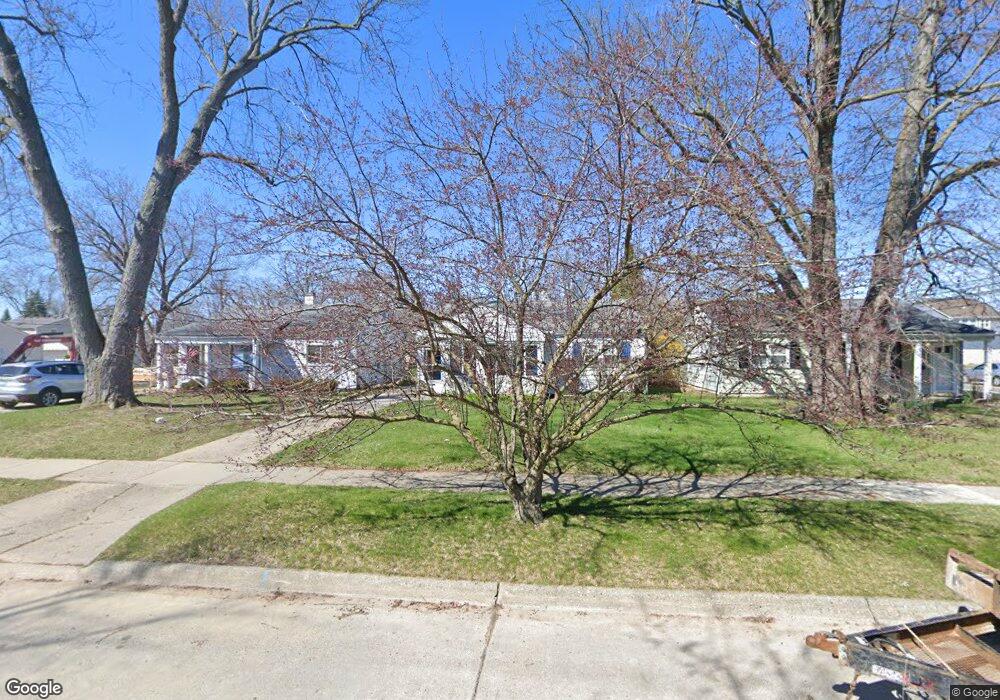
4123 Elmhurst Ave Royal Oak, MI 48073
Estimated Value: $223,665 - $250,000
2
Beds
1
Bath
838
Sq Ft
$279/Sq Ft
Est. Value
About This Home
This home is located at 4123 Elmhurst Ave, Royal Oak, MI 48073 and is currently estimated at $233,416, approximately $278 per square foot. 4123 Elmhurst Ave is a home located in Oakland County with nearby schools including Alfred E. Upton Elementary School, Royal Oak Middle School, and Royal Oak High School.
Ownership History
Date
Name
Owned For
Owner Type
Purchase Details
Closed on
Apr 22, 1998
Sold by
Kopf Robert J
Bought by
Kopf Robert J
Current Estimated Value
Home Financials for this Owner
Home Financials are based on the most recent Mortgage that was taken out on this home.
Original Mortgage
$64,000
Interest Rate
7.18%
Purchase Details
Closed on
Mar 9, 1995
Sold by
Ollila Kelly J
Bought by
Kopf Robert J
Home Financials for this Owner
Home Financials are based on the most recent Mortgage that was taken out on this home.
Original Mortgage
$65,700
Interest Rate
5.75%
Mortgage Type
New Conventional
Create a Home Valuation Report for This Property
The Home Valuation Report is an in-depth analysis detailing your home's value as well as a comparison with similar homes in the area
Home Values in the Area
Average Home Value in this Area
Purchase History
| Date | Buyer | Sale Price | Title Company |
|---|---|---|---|
| Kopf Robert J | -- | -- | |
| Kopf Robert J | $73,000 | -- |
Source: Public Records
Mortgage History
| Date | Status | Borrower | Loan Amount |
|---|---|---|---|
| Previous Owner | Kopf Robert J | $64,000 | |
| Previous Owner | Kopf Robert J | $65,700 |
Source: Public Records
Tax History Compared to Growth
Tax History
| Year | Tax Paid | Tax Assessment Tax Assessment Total Assessment is a certain percentage of the fair market value that is determined by local assessors to be the total taxable value of land and additions on the property. | Land | Improvement |
|---|---|---|---|---|
| 2024 | $1,651 | $88,570 | $0 | $0 |
| 2022 | $1,849 | $79,380 | $0 | $0 |
| 2020 | $1,521 | $71,090 | $0 | $0 |
| 2018 | $1,849 | $61,110 | $0 | $0 |
| 2017 | $1,778 | $61,110 | $0 | $0 |
| 2015 | -- | $54,480 | $0 | $0 |
| 2014 | -- | $50,390 | $0 | $0 |
| 2011 | -- | $45,980 | $0 | $0 |
Source: Public Records
Map
Nearby Homes
- 4115 Elmhurst Ave
- 4109 Benjamin Ave Unit 2
- 2500 Normandy Rd Unit 46
- 2500 Normandy Rd Unit 29
- 2500 Normandy Rd Unit 41
- 2511 Massoit Rd
- 3927 Woodland Ave
- 4102 Woodland Ave
- 4114 Edgeland Ave
- 4101 Devon Rd
- 3532 Woodland Ave
- 3601 Durham Rd
- 3439 Benjamin Ave Unit 121
- 3526 Durham Rd
- 3415 Benjamin Ave Unit 505
- 4227 Crooks Rd
- 4345 Crooks Rd Unit 24
- 3402 Woodland Ave
- 2503 W 13 Mile Rd Unit 18
- 4625 Leafdale Ave
- 4119 Elmhurst Ave
- 4127 Elmhurst Ave
- 4114 Kent Rd
- 4111 Elmhurst Ave
- 4124 Kent Rd
- 4128 Kent Rd
- 4107 Elmhurst Ave
- 4124 Elmhurst Ave
- 4108 Kent Rd
- 4128 Elmhurst Ave
- 4118 Elmhurst Ave
- 4103 Elmhurst Ave
- 4200 Kent Rd
- 4102 Kent Rd
- 4106 Elmhurst Ave
- 4210 Kent Rd
- 4021 Elmhurst Ave
- 4024 Kent Rd
- 4127 Kent Rd
- 4125 Kent Rd