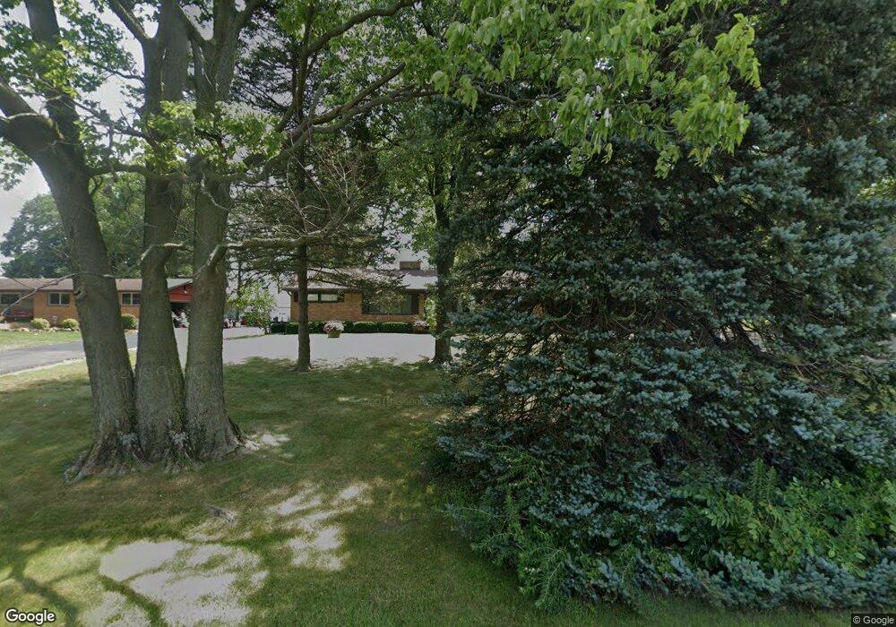
4124 Bosart Rd Springfield, OH 45503
Estimated Value: $214,000 - $241,000
3
Beds
1
Bath
1,176
Sq Ft
$194/Sq Ft
Est. Value
About This Home
This home is located at 4124 Bosart Rd, Springfield, OH 45503 and is currently estimated at $227,793, approximately $193 per square foot. 4124 Bosart Rd is a home located in Clark County with nearby schools including Rolling Hills Elementary School, Northridge Middle School, and Kenton Ridge Middle & High School.
Ownership History
Date
Name
Owned For
Owner Type
Purchase Details
Closed on
Sep 13, 1994
Sold by
Davis Emma L
Bought by
Donohoe Roger R and Donohoe Elvira
Current Estimated Value
Home Financials for this Owner
Home Financials are based on the most recent Mortgage that was taken out on this home.
Original Mortgage
$60,000
Interest Rate
8.65%
Mortgage Type
New Conventional
Purchase Details
Closed on
Dec 17, 1991
Create a Home Valuation Report for This Property
The Home Valuation Report is an in-depth analysis detailing your home's value as well as a comparison with similar homes in the area
Home Values in the Area
Average Home Value in this Area
Purchase History
| Date | Buyer | Sale Price | Title Company |
|---|---|---|---|
| Donohoe Roger R | $95,000 | -- | |
| -- | -- | -- |
Source: Public Records
Mortgage History
| Date | Status | Borrower | Loan Amount |
|---|---|---|---|
| Previous Owner | Donohoe Roger R | $60,000 |
Source: Public Records
Tax History Compared to Growth
Tax History
| Year | Tax Paid | Tax Assessment Tax Assessment Total Assessment is a certain percentage of the fair market value that is determined by local assessors to be the total taxable value of land and additions on the property. | Land | Improvement |
|---|---|---|---|---|
| 2024 | $1,659 | $48,390 | $12,920 | $35,470 |
| 2023 | $1,659 | $48,390 | $12,920 | $35,470 |
| 2022 | $1,682 | $48,390 | $12,920 | $35,470 |
| 2021 | $1,728 | $43,240 | $10,680 | $32,560 |
| 2020 | $1,729 | $43,240 | $10,680 | $32,560 |
| 2019 | $1,762 | $43,240 | $10,680 | $32,560 |
| 2018 | $1,426 | $35,550 | $9,820 | $25,730 |
| 2017 | $1,222 | $42,700 | $9,821 | $32,879 |
| 2016 | $1,214 | $42,700 | $9,821 | $32,879 |
| 2015 | $1,357 | $43,554 | $10,675 | $32,879 |
| 2014 | $1,357 | $43,554 | $10,675 | $32,879 |
| 2013 | $1,326 | $43,554 | $10,675 | $32,879 |
Source: Public Records
Map
Nearby Homes
- 3963 Covington Dr Unit 3963
- 4644 Middle Urbana Rd
- 4249 Reno Rd
- 3452 Bosart Rd
- 4321 Tulane Rd
- 1640 Montego Dr
- 4050 Tacoma St
- 4438 Tacoma St
- 1781 Pinehurst Dr
- 4849 Ashley Dr
- 3500 Oakmont Ct
- 4446 Ridgewood Rd E Unit 3
- 4512 Ridgewood Rd E
- 4740 Merrimont Ave
- 1505 Kingsgate Rd
- 1507 Kingsgate Rd
- 1503 Kingsgate Rd