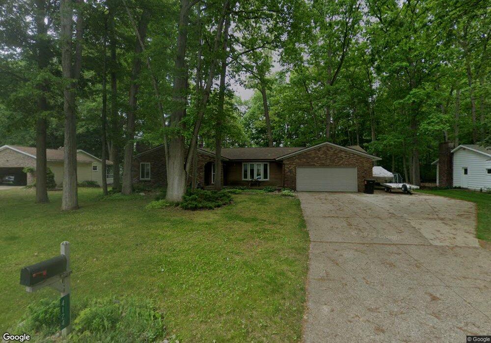
4124 Cambridge Dr Hudsonville, MI 49426
Estimated Value: $374,137 - $403,000
3
Beds
2
Baths
1,762
Sq Ft
$219/Sq Ft
Est. Value
About This Home
This home is located at 4124 Cambridge Dr, Hudsonville, MI 49426 and is currently estimated at $386,034, approximately $219 per square foot. 4124 Cambridge Dr is a home located in Ottawa County with nearby schools including Bauer Elementary School, Baldwin Street Middle School, and Hudsonville Freshman Campus.
Ownership History
Date
Name
Owned For
Owner Type
Purchase Details
Closed on
Jun 23, 2021
Sold by
Mitchell Michelle L
Bought by
Mitchell Michelle L and Hoffman Brandon C
Current Estimated Value
Home Financials for this Owner
Home Financials are based on the most recent Mortgage that was taken out on this home.
Original Mortgage
$86,000
Outstanding Balance
$75,351
Interest Rate
2.9%
Mortgage Type
Credit Line Revolving
Estimated Equity
$310,683
Purchase Details
Closed on
May 3, 2005
Sold by
Va
Bought by
Mitchell Michelle L
Purchase Details
Closed on
Aug 28, 2004
Sold by
Asaro Stephen A and Asaro Catherine
Bought by
Va
Create a Home Valuation Report for This Property
The Home Valuation Report is an in-depth analysis detailing your home's value as well as a comparison with similar homes in the area
Home Values in the Area
Average Home Value in this Area
Purchase History
| Date | Buyer | Sale Price | Title Company |
|---|---|---|---|
| Mitchell Michelle L | -- | None Available | |
| Mitchell Michelle L | $142,000 | Metro Title Corp | |
| Va | -- | -- |
Source: Public Records
Mortgage History
| Date | Status | Borrower | Loan Amount |
|---|---|---|---|
| Open | Mitchell Michelle L | $86,000 |
Source: Public Records
Tax History Compared to Growth
Tax History
| Year | Tax Paid | Tax Assessment Tax Assessment Total Assessment is a certain percentage of the fair market value that is determined by local assessors to be the total taxable value of land and additions on the property. | Land | Improvement |
|---|---|---|---|---|
| 2025 | $2,497 | $174,500 | $0 | $0 |
| 2024 | $2,161 | $154,400 | $0 | $0 |
| 2023 | $2,064 | $130,800 | $0 | $0 |
| 2022 | $2,268 | $128,000 | $0 | $0 |
| 2021 | $2,204 | $108,800 | $0 | $0 |
| 2020 | $2,181 | $102,400 | $0 | $0 |
| 2019 | $2,184 | $91,900 | $0 | $0 |
| 2018 | $2,026 | $91,800 | $0 | $0 |
| 2017 | $1,989 | $91,600 | $0 | $0 |
| 2016 | $1,925 | $84,000 | $0 | $0 |
| 2015 | $1,837 | $79,100 | $0 | $0 |
| 2014 | $1,837 | $73,400 | $0 | $0 |
Source: Public Records
Map
Nearby Homes
- 6950 Meadowcreek Dr
- 4101 Blair St
- 4106 Blair St
- 6863 Bridgeport Dr
- 6701 Arlene Dr
- 6821 Bridgeport Dr
- 0 Baldwin St
- 4087 Baldwin St
- 3617 Teton Dr
- 3528 Tearose Dr
- 3544 Nobb Hill Dr
- 3808 Port Sheldon St
- 7918 Westside Dr
- 4663 Hidden Ridge Dr Unit lot 38
- 3546 Eagles Roost Trail Unit 3
- 4672 Lexem Dr
- 7313 Valhalla Dr
- 7954 Bald Eagle Pass Unit 130
- 6584 Moss Lake Dr
- 6530 Van Dam Ave Unit 3
- 4108 Cambridge Dr
- 4138 Cambridge Dr
- 4125 Cambridge Dr
- 4125 Cambridge Dr
- 4092 Cambridge Dr
- 4139 Cambridge Dr
- 4139 Cambridge Dr
- 4109 Cambridge Dr
- 7142 Tory Dr
- 4093 Cambridge Dr
- 4076 Cambridge Dr
- 4077 Cambridge Dr
- 7156 Tory Dr
- 7115 Tory Dr
- 7129 Tory Dr
- 4062 Cambridge Dr
- 7170 Tory Dr
- 7143 Tory Dr
- 4063 Cambridge Dr
- 7167 Royal Oak Dr