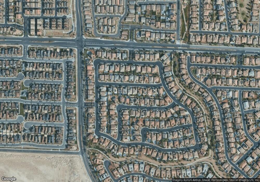
4125 Falcons Flight Ave North Las Vegas, NV 89084
Aliante NeighborhoodEstimated Value: $762,830 - $832,000
5
Beds
5
Baths
4,263
Sq Ft
$189/Sq Ft
Est. Value
About This Home
This home is located at 4125 Falcons Flight Ave, North Las Vegas, NV 89084 and is currently estimated at $805,708, approximately $189 per square foot. 4125 Falcons Flight Ave is a home located in Clark County with nearby schools including Vincent L. Triggs Elementary School, Anthony Saville Middle School, and Shadow Ridge High School.
Ownership History
Date
Name
Owned For
Owner Type
Purchase Details
Closed on
Jun 18, 2008
Sold by
Astoria Nlv Llc
Bought by
Glazier Michael T
Current Estimated Value
Home Financials for this Owner
Home Financials are based on the most recent Mortgage that was taken out on this home.
Original Mortgage
$378,850
Interest Rate
5.99%
Mortgage Type
Unknown
Create a Home Valuation Report for This Property
The Home Valuation Report is an in-depth analysis detailing your home's value as well as a comparison with similar homes in the area
Home Values in the Area
Average Home Value in this Area
Purchase History
| Date | Buyer | Sale Price | Title Company |
|---|---|---|---|
| Glazier Michael T | $473,600 | First American Title Howard |
Source: Public Records
Mortgage History
| Date | Status | Borrower | Loan Amount |
|---|---|---|---|
| Closed | Glazier Michael T | $378,850 |
Source: Public Records
Tax History Compared to Growth
Tax History
| Year | Tax Paid | Tax Assessment Tax Assessment Total Assessment is a certain percentage of the fair market value that is determined by local assessors to be the total taxable value of land and additions on the property. | Land | Improvement |
|---|---|---|---|---|
| 2025 | $4,479 | $250,763 | $48,300 | $202,463 |
| 2024 | $4,349 | $250,763 | $48,300 | $202,463 |
| 2023 | $4,349 | $262,870 | $52,500 | $210,370 |
| 2022 | $4,223 | $230,430 | $47,250 | $183,180 |
| 2021 | $4,100 | $186,704 | $38,500 | $148,204 |
| 2020 | $3,977 | $181,244 | $38,500 | $142,744 |
| 2019 | $3,929 | $170,984 | $34,650 | $136,334 |
| 2018 | $3,749 | $159,039 | $28,700 | $130,339 |
| 2017 | $5,262 | $156,879 | $24,500 | $132,379 |
| 2016 | $3,508 | $131,420 | $18,550 | $112,870 |
| 2015 | $3,502 | $112,276 | $18,550 | $93,726 |
| 2014 | $3,400 | $98,342 | $14,000 | $84,342 |
Source: Public Records
Map
Nearby Homes
- 4208 Falcons Flight Ave
- 4212 Hawks Glide Ave
- 7113 Bluebird Wing St
- 4211 Klarissa Ave
- 7209 Millerbird St
- 7132 Sayonara Vista St
- 7124 Sayonara Vista St
- 4104 Fabulous Finches Ave
- 7037 Puetollano Dr
- 4116 Mantle Ave
- 4214 Callisto Ave
- 7020 Puetollano Dr
- 4221 Cackling Goose Dr
- 4367 Countryside Glen Ct
- 7217 Sunray Point St
- 7020 Villada St
- 4417 Cityscape Glen Ct
- 7331 Sunray Point St
- 7232 Halo Falls St
- 4424 Panoramic View Ave
- 4121 Falcons Flight Ave
- 4129 Falcons Flight Ave
- 4132 Erinbird Ave
- 4117 Falcons Flight Ave
- 4133 W Falcons Flight Ave
- 4204 Erinbird Ave
- 4124 Erinbird Ave
- 4124 Falcons Flight Ave
- 4128 Falcons Flight Ave
- 4120 Falcons Flight Ave
- 4113 Falcons Flight Ave
- 4205 Falcons Flight Ave
- 4208 Erinbird Ave
- 4120 Erinbird Ave
- 4132 Falcons Flight Ave
- 4116 Falcons Flight Ave
- 4204 Falcons Flight Ave
- 4116 Erinbird Ave
- 4209 Falcons Flight Ave
- 4109 Falcons Flight Ave
