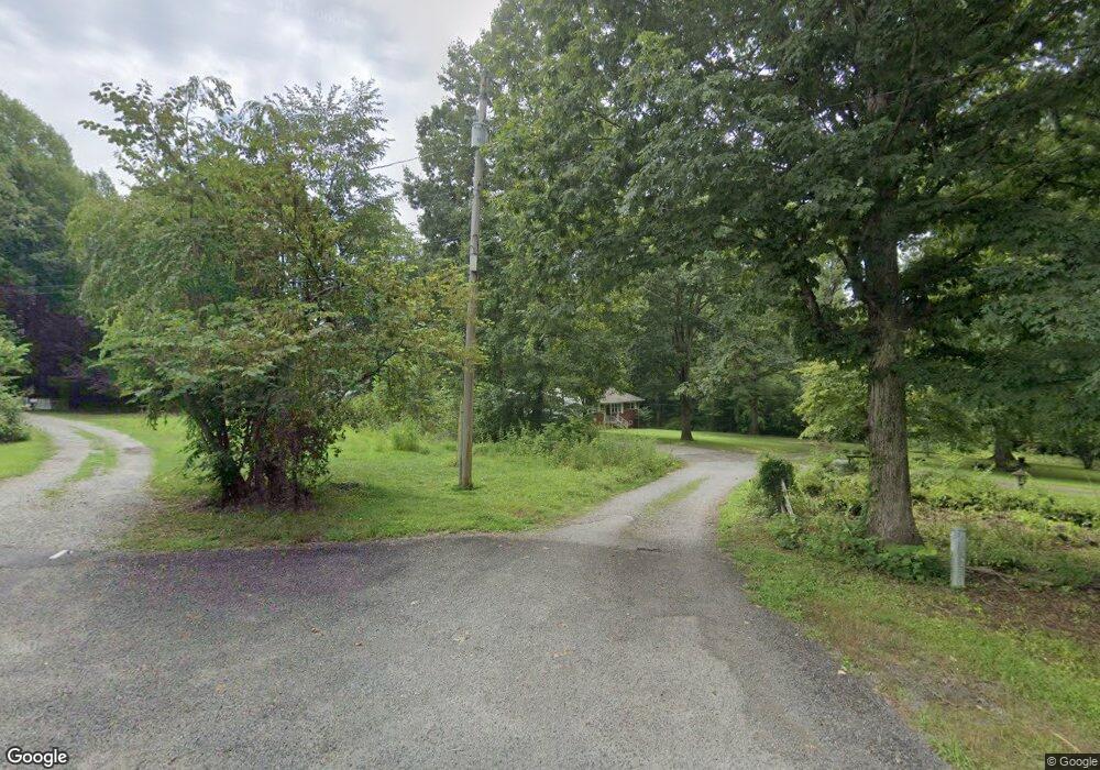
4125 Glen Powell Ave Morganton, NC 28655
Estimated Value: $314,320 - $325,000
3
Beds
2
Baths
1,710
Sq Ft
$187/Sq Ft
Est. Value
About This Home
This home is located at 4125 Glen Powell Ave, Morganton, NC 28655 and is currently estimated at $320,580, approximately $187 per square foot. 4125 Glen Powell Ave is a home located in Burke County with nearby schools including Oak Hill Elementary School, Table Rock Middle School, and Freedom High School.
Ownership History
Date
Name
Owned For
Owner Type
Purchase Details
Closed on
Nov 22, 2022
Sold by
Michael Kanipe James and Watts Susan
Bought by
Long Amber K and Long David Chad
Current Estimated Value
Purchase Details
Closed on
Sep 16, 2013
Sold by
Conley Geneva and Johnson Angela Dawn
Bought by
Kanipe James Michael and Armentrout Kelli Kanipe
Create a Home Valuation Report for This Property
The Home Valuation Report is an in-depth analysis detailing your home's value as well as a comparison with similar homes in the area
Home Values in the Area
Average Home Value in this Area
Purchase History
| Date | Buyer | Sale Price | Title Company |
|---|---|---|---|
| Long Amber K | $293,000 | -- | |
| Long Amber K | $293,000 | None Listed On Document | |
| Kanipe James Michael | -- | None Available |
Source: Public Records
Tax History Compared to Growth
Tax History
| Year | Tax Paid | Tax Assessment Tax Assessment Total Assessment is a certain percentage of the fair market value that is determined by local assessors to be the total taxable value of land and additions on the property. | Land | Improvement |
|---|---|---|---|---|
| 2025 | $1,257 | $183,432 | $20,139 | $163,293 |
| 2024 | $1,262 | $183,432 | $20,139 | $163,293 |
| 2023 | $1,262 | $183,432 | $20,139 | $163,293 |
| 2022 | $1,462 | $175,818 | $50,263 | $125,555 |
| 2021 | $1,456 | $175,818 | $50,263 | $125,555 |
| 2020 | $1,452 | $175,818 | $50,263 | $125,555 |
| 2019 | $1,452 | $175,818 | $50,263 | $125,555 |
| 2018 | $1,463 | $177,198 | $50,263 | $126,935 |
| 2017 | $1,469 | $177,198 | $50,263 | $126,935 |
| 2016 | $1,439 | $177,198 | $50,263 | $126,935 |
| 2015 | $1,437 | $177,198 | $50,263 | $126,935 |
| 2014 | $1,436 | $177,198 | $50,263 | $126,935 |
| 2013 | $1,196 | $147,973 | $45,872 | $102,101 |
Source: Public Records
Map
Nearby Homes
- 3486 Lake Dr Unit 16
- 3494 Lake Dr Unit 17
- 2257 E Wade Ave
- 3639 Lake Dr Unit 25
- 3188 Lake Dr Unit 4
- 3577 Lake Dr Unit 26
- 3164 Lake Dr Unit Lot 3
- 3620 Lake Dr
- 3163 Lake Dr Unit 53 & 52
- 3076 Hunters Ridge Ct
- 3651 Pea Ridge Rd
- 1926 Timber Trace Unit 4
- 1798 Lonnie Shuffler St
- 2765 Hollybrook Ln
- 2576 Henderson Mill Rd
- 3680 Grandview Dr
- 3666 Grandview Dr
- 3026 Coventry Dr
- 2616 Carl Freeman Ave Unit 20
- 2616 Carl Freeman Ave Unit 3
- 4137 Glen Powell Ave
- 4124 Glen Powell Ave
- 4105 Glen Powell Ave Unit 4109
- 4096 Glen Powell Ave
- 4046 Glen Powell Ave
- 4010 Glen Powell Ave
- 3970 Glen Powell Ave Unit 3980
- 3971 Glen Powell Ave
- 3960 Nc 181
- 3982 Nc 181
- 3940 Nc 181 Unit 3946
- 3818 Nc 181
- 3998 Nc 181
- 3469 Henderson Mill Rd
- 3796 Nc 181
- 3655 Henderson Mill Rd
- 3036 Gwaltney Rd
- 3671 Henderson Mill Rd
- 3786 Nc 181
- 1931 Harmon St
