4125 Sands Rd Harwood, MD 20776
Harwood NeighborhoodEstimated Value: $819,000 - $1,013,000
--
Bed
4
Baths
4,646
Sq Ft
$204/Sq Ft
Est. Value
About This Home
This home is located at 4125 Sands Rd, Harwood, MD 20776 and is currently estimated at $947,407, approximately $203 per square foot. 4125 Sands Rd is a home located in Anne Arundel County with nearby schools including Lothian Elementary School, Southern Middle School, and Southern High School.
Ownership History
Date
Name
Owned For
Owner Type
Purchase Details
Closed on
Aug 20, 2010
Sold by
Santiago Shanita L
Bought by
Wilkins Shanita L
Current Estimated Value
Home Financials for this Owner
Home Financials are based on the most recent Mortgage that was taken out on this home.
Original Mortgage
$542,000
Outstanding Balance
$358,857
Interest Rate
4.57%
Mortgage Type
New Conventional
Estimated Equity
$588,550
Purchase Details
Closed on
Jun 5, 2003
Sold by
Gross Leonora
Bought by
Santiago Shanita L and Santiago Guy M
Create a Home Valuation Report for This Property
The Home Valuation Report is an in-depth analysis detailing your home's value as well as a comparison with similar homes in the area
Home Values in the Area
Average Home Value in this Area
Purchase History
| Date | Buyer | Sale Price | Title Company |
|---|---|---|---|
| Wilkins Shanita L | -- | -- | |
| Santiago Shanita L | -- | -- |
Source: Public Records
Mortgage History
| Date | Status | Borrower | Loan Amount |
|---|---|---|---|
| Open | Wilkins Shanita L | $542,000 |
Source: Public Records
Tax History Compared to Growth
Tax History
| Year | Tax Paid | Tax Assessment Tax Assessment Total Assessment is a certain percentage of the fair market value that is determined by local assessors to be the total taxable value of land and additions on the property. | Land | Improvement |
|---|---|---|---|---|
| 2025 | $9,148 | $927,933 | -- | -- |
| 2024 | $9,148 | $867,767 | $0 | $0 |
| 2023 | $8,877 | $807,600 | $213,800 | $593,800 |
| 2022 | $8,310 | $781,000 | $0 | $0 |
| 2021 | $16,292 | $754,400 | $0 | $0 |
| 2020 | $7,948 | $727,800 | $196,300 | $531,500 |
| 2019 | $7,826 | $727,800 | $196,300 | $531,500 |
| 2018 | $7,380 | $727,800 | $196,300 | $531,500 |
| 2017 | $7,393 | $740,200 | $0 | $0 |
| 2016 | -- | $724,233 | $0 | $0 |
| 2015 | -- | $708,267 | $0 | $0 |
| 2014 | -- | $692,300 | $0 | $0 |
Source: Public Records
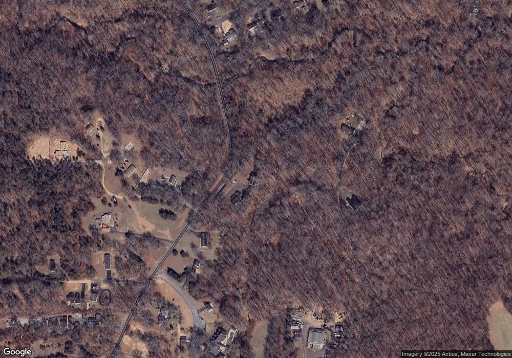
Map
Nearby Homes
- 812 Richardson Dr
- 17436 Claggett Landing Rd
- 17905 Queen Anne Rd
- 1527 Patuxent Manor Rd
- 18106 B Central Ave
- 1544 Manor View Rd
- 213 King James Rd
- 3732 Nile Rd
- 4440 Claybrooke Dr
- 1575 Alcova Dr
- 4485 Old Solomons Island Rd
- 1008 W Central Ave
- 210 Queen Marie Ct
- 4320 Solomons Island Rd
- 116 Prospect Dr
- 1500, 1501, 1504 Cogar Rd
- 3501 Foxhall Dr
- 873 Benjamin Branch
- 16508 Kilby Ct
- 1002 Marshalls Dr
- 4155 Sands Rd
- 4167 Sands Rd
- 4156 Sands Rd
- 1735 Myles Dr
- 1749 Myles Dr
- 1737 Myles Dr
- 4160 Sands Rd
- 1745 Myles Dr
- 4162 Sands Rd
- 1231 Sandalwood Rd
- 1229 Sandalwood Rd
- 4170 Sands Rd
- 1227 Sandalwood Rd
- 900 Estelle Ln
- 1743 Myles Dr
- 4169 Sands Rd
- 4180 Sands Rd
- 1225 Sandalwood Rd
- 1230 Sandalwood Rd
- 4182 Sands Rd