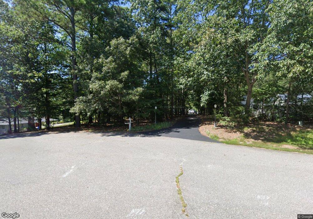
41252 Brenda Ct Leonardtown, MD 20650
Estimated Value: $554,000 - $750,000
--
Bed
3
Baths
3,189
Sq Ft
$200/Sq Ft
Est. Value
About This Home
This home is located at 41252 Brenda Ct, Leonardtown, MD 20650 and is currently estimated at $637,252, approximately $199 per square foot. 41252 Brenda Ct is a home located in St. Mary's County with nearby schools including Benjamin Banneker Elementary School, Leonardtown Middle School, and Leonardtown High School.
Ownership History
Date
Name
Owned For
Owner Type
Purchase Details
Closed on
Sep 6, 2018
Sold by
Witte Mark C and Witte Robin S
Bought by
Witte Mark C and Witte Robin S
Current Estimated Value
Purchase Details
Closed on
Aug 22, 2000
Sold by
Ray Edward E
Bought by
Witte Mark C and Witte Robin S
Purchase Details
Closed on
Oct 1, 1999
Sold by
Foreman Michael James
Bought by
Ray Edward E and Ray Linda S
Purchase Details
Closed on
Mar 8, 1990
Sold by
Dorsey Walter B
Bought by
Foreman Michael James
Create a Home Valuation Report for This Property
The Home Valuation Report is an in-depth analysis detailing your home's value as well as a comparison with similar homes in the area
Home Values in the Area
Average Home Value in this Area
Purchase History
| Date | Buyer | Sale Price | Title Company |
|---|---|---|---|
| Witte Mark C | -- | None Available | |
| Witte Mark C | $276,000 | -- | |
| Ray Edward E | $248,000 | -- | |
| Foreman Michael James | $45,000 | -- |
Source: Public Records
Mortgage History
| Date | Status | Borrower | Loan Amount |
|---|---|---|---|
| Closed | Witte Mark C | -- |
Source: Public Records
Tax History Compared to Growth
Tax History
| Year | Tax Paid | Tax Assessment Tax Assessment Total Assessment is a certain percentage of the fair market value that is determined by local assessors to be the total taxable value of land and additions on the property. | Land | Improvement |
|---|---|---|---|---|
| 2025 | $4,842 | $452,600 | $122,300 | $330,300 |
| 2024 | $4,610 | $434,567 | $0 | $0 |
| 2023 | $4,341 | $416,533 | $0 | $0 |
| 2022 | $4,210 | $398,500 | $122,300 | $276,200 |
| 2021 | $4,191 | $396,800 | $0 | $0 |
| 2020 | $4,172 | $395,100 | $0 | $0 |
| 2019 | $4,153 | $393,400 | $122,300 | $271,100 |
| 2018 | $4,034 | $381,900 | $0 | $0 |
| 2017 | $3,898 | $370,400 | $0 | $0 |
| 2016 | -- | $358,900 | $0 | $0 |
| 2015 | $3,817 | $358,900 | $0 | $0 |
| 2014 | $3,817 | $358,900 | $0 | $0 |
Source: Public Records
Map
Nearby Homes
- 0 Ferny Hills Ln
- 22362 Armstrong Dr
- 22539 Landing Way
- 22501 Bull Rd
- 22626 Chickadee Ln
- 41832 Foxwell Point Ln
- 24645 Springhill Ln
- 40533 Breton Knolls Ct
- 22592 Quiet Ln
- 21745 Pinehurst Ct
- 40624 Breton Oaks Ln
- 0 Kiskadee Ln
- 25365 Point Lookout Rd
- 41900 Nazareth Ct
- 41130 Cryer Ct
- 0 Cedar Lane Rd
- 22305 Hanover Dr
- 22216 Hanover Dr
- 25845 Point Lookout Rd
- 41536 Fairwood Ct
- 22073 Philip Dr
- 41242 Brenda Ct
- 22083 Philip Dr
- 22093 Philip Dr
- 41249 Brenda Ct
- 41239 Brenda Ct
- 22103 Philip Dr
- 22078 Philip Dr
- 41266 Molly Ct
- 22070 Philip Dr
- 0 Molly Ct
- 41251 Knight Rd
- 41255 Knight Rd
- 22113 Philip Dr
- 41253 Molly Ct
- 22044 Philip Dr
- 21991 Philip Dr
- 21985 Philip Dr
- 41150 Paw Paw Hollow Ln
- 41100 Paw Paw Hollow Ln
