Estimated Value: $226,000 - $476,000
3
Beds
1
Bath
936
Sq Ft
$322/Sq Ft
Est. Value
About This Home
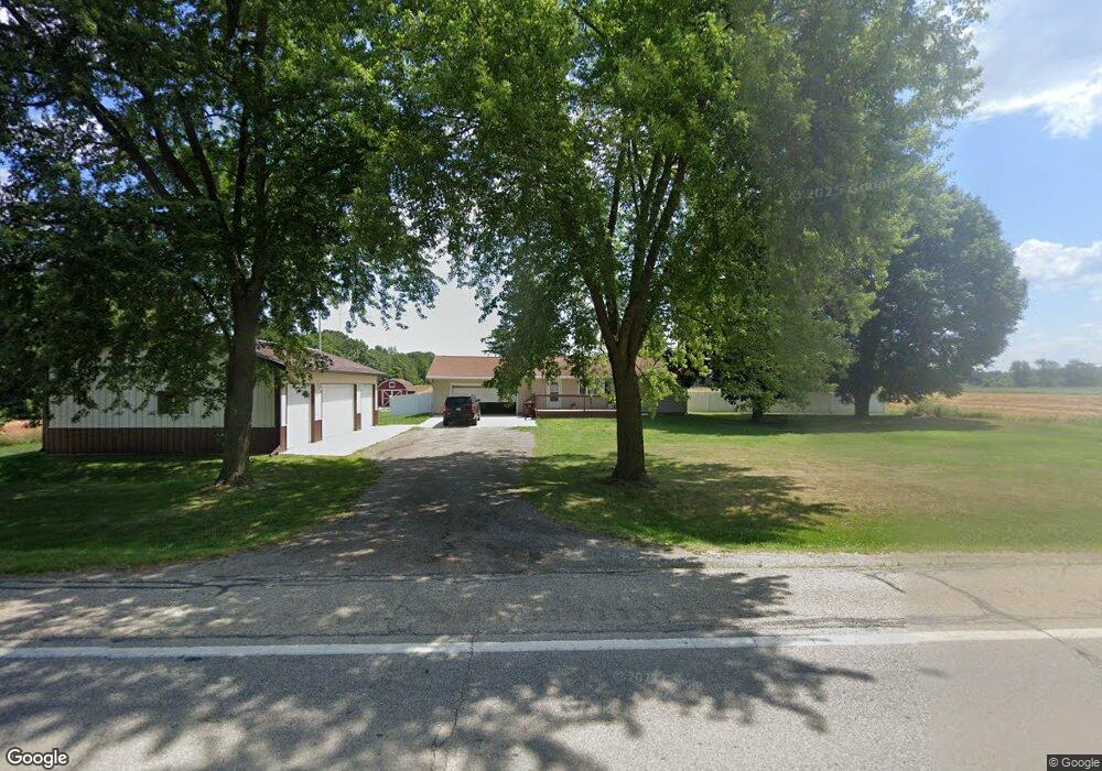
This home is located at 4126 N State Rd, Ionia, MI 48846 and is currently estimated at $301,524, approximately $322 per square foot. 4126 N State Rd is a home located in Ionia County with nearby schools including Ionia High School, Saints Peter and Paul Catholic School, and Ionia Seventh Day Adventist Elementary School.
Ownership History
Date
Name
Owned For
Owner Type
Purchase Details
Closed on
Mar 30, 2006
Sold by
White Matthew R and Sebrell Sherren M
Bought by
Thurlby Lloyd and Thurlby Debbie D
Current Estimated Value
Home Financials for this Owner
Home Financials are based on the most recent Mortgage that was taken out on this home.
Original Mortgage
$147,733
Outstanding Balance
$84,750
Interest Rate
6.33%
Mortgage Type
FHA
Estimated Equity
$216,774
Purchase Details
Closed on
Jun 20, 2005
Sold by
White Matthew R
Bought by
White Matthew R and Sebrell Sherren M
Home Financials for this Owner
Home Financials are based on the most recent Mortgage that was taken out on this home.
Original Mortgage
$93,800
Interest Rate
5.87%
Mortgage Type
New Conventional
Create a Home Valuation Report for This Property
The Home Valuation Report is an in-depth analysis detailing your home's value as well as a comparison with similar homes in the area
Purchase History
| Date | Buyer | Sale Price | Title Company |
|---|---|---|---|
| Thurlby Lloyd | $150,000 | Independent Title Svcs Inc | |
| White Matthew R | -- | -- |
Source: Public Records
Mortgage History
| Date | Status | Borrower | Loan Amount |
|---|---|---|---|
| Open | Thurlby Lloyd | $147,733 | |
| Previous Owner | White Matthew R | $93,800 |
Source: Public Records
Tax History
| Year | Tax Paid | Tax Assessment Tax Assessment Total Assessment is a certain percentage of the fair market value that is determined by local assessors to be the total taxable value of land and additions on the property. | Land | Improvement |
|---|---|---|---|---|
| 2025 | $2,031 | $100,000 | $11,900 | $88,100 |
| 2024 | $7 | $100,000 | $11,900 | $88,100 |
| 2023 | $672 | $73,600 | $8,500 | $65,100 |
| 2022 | $640 | $73,600 | $8,500 | $65,100 |
| 2021 | $1,441 | $60,800 | $11,100 | $49,700 |
| 2020 | $494 | $60,800 | $11,100 | $49,700 |
| 2019 | $448 | $57,600 | $11,100 | $46,500 |
| 2018 | $1,331 | $48,400 | $10,000 | $38,400 |
| 2017 | $452 | $48,400 | $10,000 | $38,400 |
| 2016 | $448 | $44,900 | $9,500 | $35,400 |
| 2015 | -- | $44,900 | $9,500 | $35,400 |
| 2014 | $546 | $40,900 | $9,500 | $31,400 |
Source: Public Records
Map
Nearby Homes
- 3481 Jefferson Rd
- 1451 W Charles Rd
- 492 Belding Rd
- 1894 N State Rd
- 1637 N State Rd
- 1665 Belding Rd
- 1193 N State Rd
- 2965 Herald St
- 3494 Bradford Rd
- 407 Forest St
- 3667 Bradford Rd
- 0 E Charles Rd Unit 25053011
- 418 Allen St
- 428 W Lincoln Ave
- 213 E Lytle St
- 735 Prairie Creek Rd
- 302 W Lincoln Ave
- 225 W Lincoln Ave
- 503 Rich St
- 231 E Lincoln Ave
Your Personal Tour Guide
Ask me questions while you tour the home.