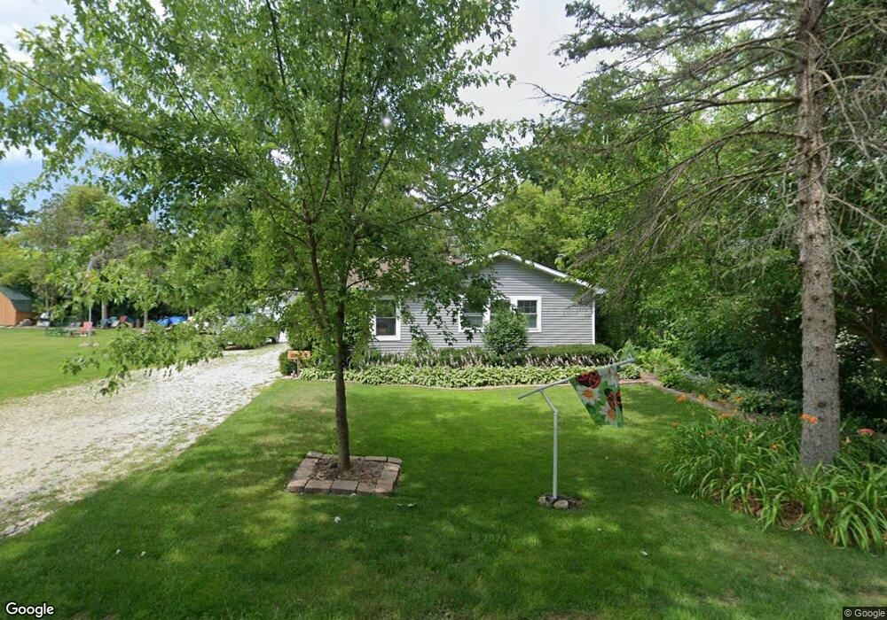
4127 Ash St Delavan, WI 53115
Estimated Value: $287,000 - $367,000
Studio
--
Bath
--
Sq Ft
0.36
Acres
About This Home
This home is located at 4127 Ash St, Delavan, WI 53115 and is currently estimated at $307,575. 4127 Ash St is a home located in Walworth County with nearby schools including Delavan-Darien High School.
Ownership History
Date
Name
Owned For
Owner Type
Purchase Details
Closed on
Jan 30, 2024
Sold by
Harms Cheryl A
Bought by
Steffens Kelly and Kotter Kassie
Current Estimated Value
Purchase Details
Closed on
May 19, 2014
Sold by
Perri Anthony G and Perri Tanya J
Bought by
Harms Robert E and Harms Cheryl A
Home Financials for this Owner
Home Financials are based on the most recent Mortgage that was taken out on this home.
Original Mortgage
$110,000
Interest Rate
4.34%
Mortgage Type
New Conventional
Purchase Details
Closed on
Jun 12, 2013
Sold by
Wright Harry A and Wright Eileen E
Bought by
Perri Anthony G and Perri Tanya J
Home Financials for this Owner
Home Financials are based on the most recent Mortgage that was taken out on this home.
Original Mortgage
$100,000
Interest Rate
3.34%
Mortgage Type
New Conventional
Create a Home Valuation Report for This Property
The Home Valuation Report is an in-depth analysis detailing your home's value as well as a comparison with similar homes in the area
Home Values in the Area
Average Home Value in this Area
Purchase History
| Date | Buyer | Sale Price | Title Company |
|---|---|---|---|
| Steffens Kelly | -- | None Listed On Document | |
| Harms Robert E | $137,500 | None Available | |
| Perri Anthony G | $137,900 | None Available |
Source: Public Records
Mortgage History
| Date | Status | Borrower | Loan Amount |
|---|---|---|---|
| Previous Owner | Harms Robert E | $110,000 | |
| Previous Owner | Perri Anthony G | $100,000 |
Source: Public Records
Tax History
| Year | Tax Paid | Tax Assessment Tax Assessment Total Assessment is a certain percentage of the fair market value that is determined by local assessors to be the total taxable value of land and additions on the property. | Land | Improvement |
|---|---|---|---|---|
| 2025 | $2,920 | $246,200 | $103,900 | $142,300 |
| 2024 | $2,704 | $246,200 | $103,900 | $142,300 |
| 2023 | $1,399 | $162,400 | $56,200 | $106,200 |
| 2022 | $2,552 | $162,400 | $56,200 | $106,200 |
| 2021 | $2,471 | $162,400 | $56,200 | $106,200 |
| 2020 | $2,530 | $137,500 | $56,200 | $81,300 |
| 2019 | $2,487 | $137,500 | $56,200 | $81,300 |
| 2018 | $2,195 | $137,500 | $56,200 | $81,300 |
| 2017 | $2,285 | $137,500 | $56,200 | $81,300 |
| 2016 | $2,394 | $137,500 | $56,200 | $81,300 |
| 2015 | $2,339 | $137,500 | $56,200 | $81,300 |
| 2014 | $2,661 | $157,100 | $56,200 | $100,900 |
| 2013 | $2,661 | $157,100 | $56,200 | $100,900 |
Source: Public Records
Map
Nearby Homes
- 4131 Maple Dr
- 4308 West Dr
- 7970 Summit Dr
- 2121 Adelia Ave
- 3505 S Shore Dr
- 2810 Willow Point Dr
- 0 Elm Ridge Rd
- 2403 Quiet Ln
- 229 Creekside Place Unit 16
- 2304 N Shore Dr
- 110 Eagle Pointe Dr Unit 3A
- 0 Borg Rd
- 2816 Mabie St
- 2909 Cochrane St
- 1610 Jackson Park Dr
- 1416 Delavan Club Dr
- 2803 Tilden Ave
- 2902 Tilden Ave
- 614 Bowers Blvd
- 609 Madison Dr
Your Personal Tour Guide
Ask me questions while you tour the home.