4127 Mockingbird Ln Suffolk, VA 23434
Chuckatuck NeighborhoodEstimated Value: $568,000 - $663,000
3
Beds
3
Baths
2,974
Sq Ft
$203/Sq Ft
Est. Value
About This Home
This home is located at 4127 Mockingbird Ln, Suffolk, VA 23434 and is currently estimated at $603,202, approximately $202 per square foot. 4127 Mockingbird Ln is a home located in Suffolk City with nearby schools including Elephant's Fork Elementary School, King's Fork Middle School, and King's Fork High School.
Ownership History
Date
Name
Owned For
Owner Type
Purchase Details
Closed on
Jan 5, 2024
Sold by
Bc Branch 7 Llc
Bought by
Bc Branch Enterprises Inc
Current Estimated Value
Purchase Details
Closed on
Nov 10, 2022
Sold by
Reynolds James M
Bought by
Reynolds Living Trust
Create a Home Valuation Report for This Property
The Home Valuation Report is an in-depth analysis detailing your home's value as well as a comparison with similar homes in the area
Home Values in the Area
Average Home Value in this Area
Purchase History
| Date | Buyer | Sale Price | Title Company |
|---|---|---|---|
| Bc Branch Enterprises Inc | -- | Fidelity National Title | |
| Reynolds Living Trust | -- | -- |
Source: Public Records
Tax History
| Year | Tax Paid | Tax Assessment Tax Assessment Total Assessment is a certain percentage of the fair market value that is determined by local assessors to be the total taxable value of land and additions on the property. | Land | Improvement |
|---|---|---|---|---|
| 2025 | $5,839 | $503,600 | $144,700 | $358,900 |
| 2024 | $5,839 | $464,200 | $120,600 | $343,600 |
| 2023 | $5,360 | $454,900 | $120,600 | $334,300 |
| 2022 | $4,454 | $408,600 | $120,600 | $288,000 |
| 2021 | $4,535 | $408,600 | $120,600 | $288,000 |
| 2020 | $4,236 | $381,600 | $120,600 | $261,000 |
| 2019 | $4,236 | $381,600 | $120,600 | $261,000 |
| 2018 | $4,314 | $383,400 | $120,600 | $262,800 |
| 2017 | $4,102 | $383,400 | $120,600 | $262,800 |
| 2016 | $4,102 | $383,400 | $120,600 | $262,800 |
| 2015 | $2,524 | $383,400 | $120,600 | $262,800 |
| 2014 | $2,524 | $383,400 | $120,600 | $262,800 |
Source: Public Records
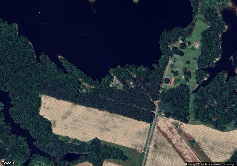
Map
Nearby Homes
- 4304 Pontiac Cir
- 316 Station Dr
- 330 Station Dr
- 321 Station Dr
- 308 Station Dr
- 307 Station Dr
- 301 Station Dr
- 955 Kings Fork Rd
- 1051 Boundary Dr
- 2019 Queens Point Dr
- 4026 Appaloosa Ct
- 3216 Duke of Glouchester Dr
- 2045 Queens Point Dr
- 3220 Duke of Glouchester Dr
- 201 Station Dr
- 286 Mccormick Dr
- 125 Station Dr
- 102 Chalmers Dr
- 285 Mccormick Dr
- 4009 Kingston Pkwy Unit 313
- 4133 Mockingbird Ln
- 4123 Mockingbird Ln
- 6000 Mockingbird Ln
- 4140 Mockingbird Ln
- 4421 Cherokee Dr
- 3963 Mockingbird Ln
- 4415 Cherokee Dr
- 4423 Cherokee Dr
- 11+ac Mockingbird Ln
- 4425 Cherokee Dr
- 4429 Cherokee Dr
- 976 Five Mile Rd
- 980 Five Mile Rd
- 4433 Cherokee Dr
- 4420 Cherokee Dr
- 3824 Mockingbird Ln
- 4400 Cherokee Dr
- 3816 Mockingbird Ln
- 3830 Mockingbird Ln
- 4441 Cherokee Dr
Your Personal Tour Guide
Ask me questions while you tour the home.