4129 Brogan Rd Stockbridge, MI 49285
Estimated Value: $327,000 - $375,000
3
Beds
2
Baths
1,508
Sq Ft
$229/Sq Ft
Est. Value
About This Home
This home is located at 4129 Brogan Rd, Stockbridge, MI 49285 and is currently estimated at $345,204, approximately $228 per square foot. 4129 Brogan Rd is a home located in Ingham County with nearby schools including Emma Smith Elementary School, Heritage School, and Stockbridge High School.
Ownership History
Date
Name
Owned For
Owner Type
Purchase Details
Closed on
Aug 30, 2003
Sold by
Bolton Nicholaus and Bolton Lisa
Bought by
Bolton Nicholaus and Bolton Lisa
Current Estimated Value
Home Financials for this Owner
Home Financials are based on the most recent Mortgage that was taken out on this home.
Original Mortgage
$148,500
Interest Rate
6.18%
Mortgage Type
Purchase Money Mortgage
Create a Home Valuation Report for This Property
The Home Valuation Report is an in-depth analysis detailing your home's value as well as a comparison with similar homes in the area
Home Values in the Area
Average Home Value in this Area
Purchase History
| Date | Buyer | Sale Price | Title Company |
|---|---|---|---|
| Bolton Nicholaus | -- | Fidelity Natl Title Ins Co |
Source: Public Records
Mortgage History
| Date | Status | Borrower | Loan Amount |
|---|---|---|---|
| Closed | Bolton Nicholaus | $148,500 |
Source: Public Records
Tax History Compared to Growth
Tax History
| Year | Tax Paid | Tax Assessment Tax Assessment Total Assessment is a certain percentage of the fair market value that is determined by local assessors to be the total taxable value of land and additions on the property. | Land | Improvement |
|---|---|---|---|---|
| 2025 | $2,926 | $160,600 | $14,700 | $145,900 |
| 2024 | $2,768 | $159,500 | $14,100 | $145,400 |
| 2023 | $2,768 | $149,200 | $13,700 | $135,500 |
| 2022 | $2,622 | $129,500 | $13,000 | $116,500 |
| 2021 | $2,581 | $121,500 | $0 | $0 |
| 2020 | $2,532 | $118,100 | $0 | $0 |
| 2019 | $2,395 | $99,700 | $13,300 | $86,400 |
| 2018 | $2,375 | $83,200 | $12,400 | $70,800 |
| 2017 | $2,251 | $83,200 | $12,400 | $70,800 |
| 2016 | -- | $82,500 | $12,400 | $70,100 |
| 2015 | -- | $76,000 | $24,840 | $51,160 |
| 2014 | -- | $66,300 | $23,840 | $42,460 |
Source: Public Records
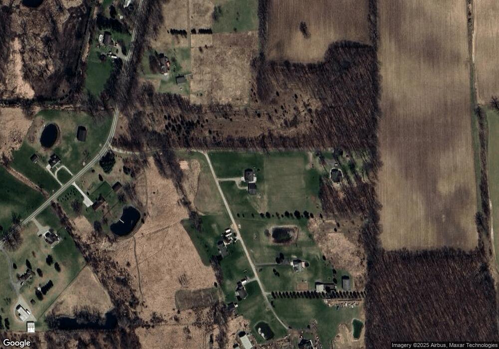
Map
Nearby Homes
- 5001 Dexter Trail
- 4005 Eastbridge Rd
- 4012 Eastbridge Rd
- 4059 Eastbridge Rd
- 4057 Eastbridge Rd
- 4053 Eastbridge Rd
- 4100 N Main St
- 0 M-52 Unit 291080
- 303 Mechanic St
- 630 W Main St W
- 0 Green Rd Unit 25034208
- 4510 Milner Rd
- Lot 7 Lucas Ln
- 4239 Adams Rd
- 0 Adams Unit 25049387
- 13201 Rockwell Rd
- 3873 Dexter Trail
- 5599 S M 52
- 5367 E M 36
- 5695 Hinkley Rd
- 4137 Brogan Rd
- 4133 Brogan Rd
- 4147 Brogan Rd
- 4125 Brogan Rd
- 4141 Brogan Rd
- 4155 Brogan Rd
- 4149 Brogan Rd
- 4150 Brogan Rd
- 4100 Brogan Rd
- 4197 Brogan Rd
- 5049 Dexter Trail
- 4060 Brogan Rd
- 4245 Brogan Rd
- 4024 Brogan Rd
- 4240 Brogan Rd
- 0 Dexter Trail
- 0 Dexter Trail Unit 543209871
- 0 Dexter Trail Unit 630000049442
- 0 Dexter Trail Unit L47433
- 0 Dexter Trail Unit L47426