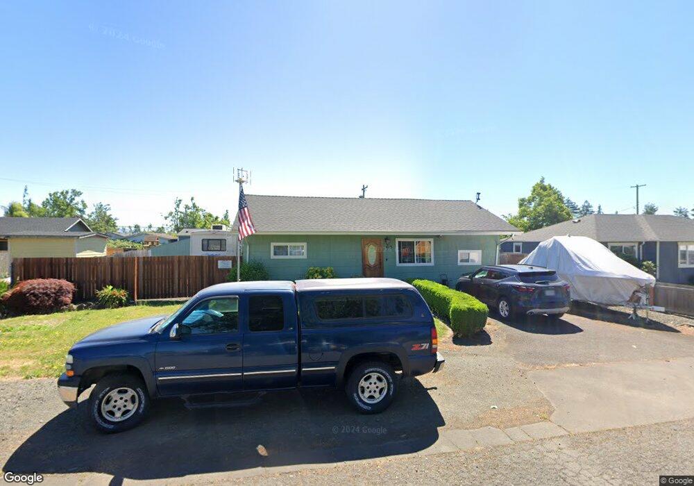
413 33rd St Springfield, OR 97478
East Springfield NeighborhoodEstimated Value: $318,000 - $379,000
4
Beds
1
Bath
1,092
Sq Ft
$314/Sq Ft
Est. Value
About This Home
This home is located at 413 33rd St, Springfield, OR 97478 and is currently estimated at $342,884, approximately $313 per square foot. 413 33rd St is a home located in Lane County with nearby schools including Riverbend Elementary School, Briggs Middle School, and Thurston High School.
Ownership History
Date
Name
Owned For
Owner Type
Purchase Details
Closed on
Jun 15, 2000
Sold by
Wear Carol A and Wear Carol A
Bought by
Prewitt Steven R and Prewitt Ronda G
Current Estimated Value
Home Financials for this Owner
Home Financials are based on the most recent Mortgage that was taken out on this home.
Original Mortgage
$93,330
Outstanding Balance
$31,585
Interest Rate
8.27%
Mortgage Type
VA
Estimated Equity
$311,299
Create a Home Valuation Report for This Property
The Home Valuation Report is an in-depth analysis detailing your home's value as well as a comparison with similar homes in the area
Home Values in the Area
Average Home Value in this Area
Purchase History
| Date | Buyer | Sale Price | Title Company |
|---|---|---|---|
| Prewitt Steven R | $91,500 | Western Pioneer Title Co |
Source: Public Records
Mortgage History
| Date | Status | Borrower | Loan Amount |
|---|---|---|---|
| Open | Prewitt Steven R | $93,330 |
Source: Public Records
Tax History
| Year | Tax Paid | Tax Assessment Tax Assessment Total Assessment is a certain percentage of the fair market value that is determined by local assessors to be the total taxable value of land and additions on the property. | Land | Improvement |
|---|---|---|---|---|
| 2025 | $2,291 | $124,944 | -- | -- |
| 2024 | $2,254 | $121,305 | -- | -- |
| 2023 | $2,254 | $117,772 | $0 | $0 |
| 2022 | $2,088 | $114,342 | $0 | $0 |
| 2021 | $2,050 | $111,012 | $0 | $0 |
| 2020 | $1,990 | $107,779 | $0 | $0 |
| 2019 | $1,930 | $104,640 | $0 | $0 |
| 2018 | $1,820 | $98,634 | $0 | $0 |
| 2017 | $1,750 | $98,634 | $0 | $0 |
| 2016 | $1,713 | $95,761 | $0 | $0 |
| 2015 | $1,664 | $92,972 | $0 | $0 |
| 2014 | $1,639 | $90,264 | $0 | $0 |
Source: Public Records
Map
Nearby Homes
Your Personal Tour Guide
Ask me questions while you tour the home.