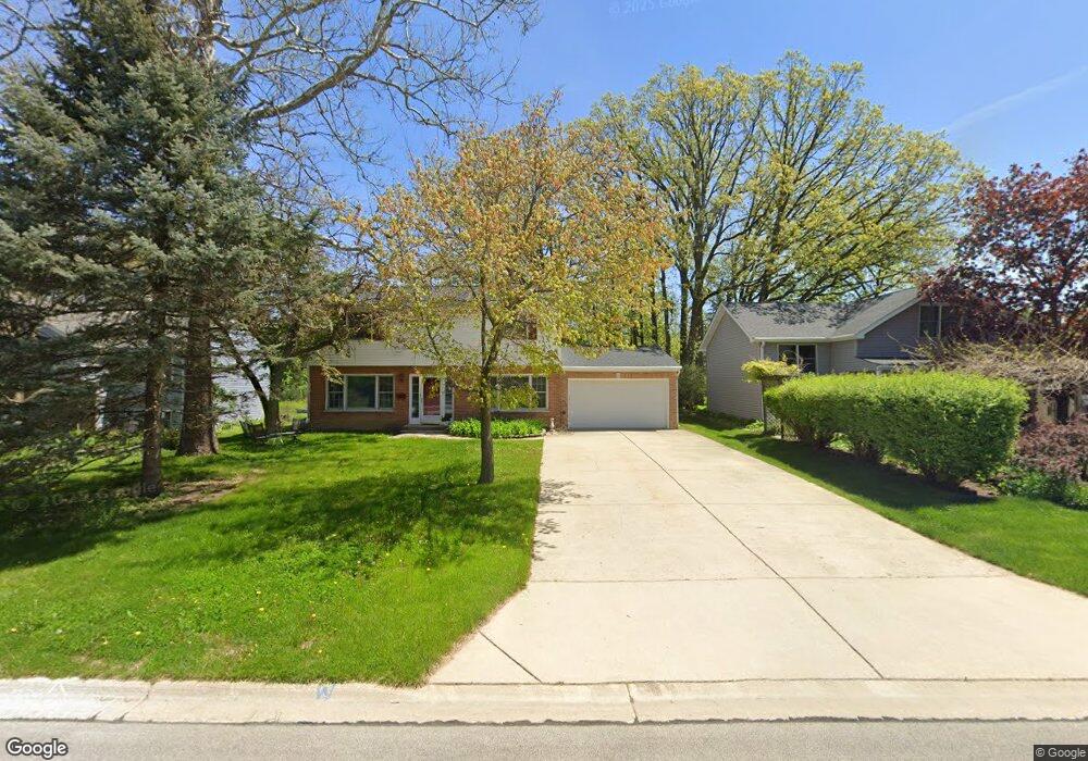
413 Birch Dr Wheaton, IL 60187
West Wheaton NeighborhoodEstimated Value: $448,488 - $639,000
Studio
1
Bath
2,124
Sq Ft
$250/Sq Ft
Est. Value
About This Home
This home is located at 413 Birch Dr, Wheaton, IL 60187 and is currently estimated at $530,872, approximately $249 per square foot. 413 Birch Dr is a home located in DuPage County with nearby schools including Emerson Elementary School, Monroe Middle School, and Wheaton North High School.
Ownership History
Date
Name
Owned For
Owner Type
Purchase Details
Closed on
Jan 24, 2019
Sold by
Brinkman Paul G and Brinkman Susan T
Bought by
Liv Brinkman Susan T and Susan T Brinkman Revocable Living Trust
Current Estimated Value
Purchase Details
Closed on
Aug 14, 2017
Sold by
Brinkman Paul G and Brinkman Susan T
Bought by
Brinkman Paul G and Brinkman Susan T
Create a Home Valuation Report for This Property
The Home Valuation Report is an in-depth analysis detailing your home's value as well as a comparison with similar homes in the area
Home Values in the Area
Average Home Value in this Area
Purchase History
| Date | Buyer | Sale Price | Title Company |
|---|---|---|---|
| Liv Brinkman Susan T | -- | Attorney | |
| Brinkman Paul G | -- | Attorney |
Source: Public Records
Tax History
| Year | Tax Paid | Tax Assessment Tax Assessment Total Assessment is a certain percentage of the fair market value that is determined by local assessors to be the total taxable value of land and additions on the property. | Land | Improvement |
|---|---|---|---|---|
| 2024 | $8,370 | $145,860 | $33,744 | $112,116 |
| 2023 | $7,992 | $134,260 | $31,060 | $103,200 |
| 2022 | $8,025 | $126,880 | $29,350 | $97,530 |
| 2021 | $7,988 | $123,870 | $28,650 | $95,220 |
| 2020 | $7,959 | $122,710 | $28,380 | $94,330 |
| 2019 | $7,765 | $119,470 | $27,630 | $91,840 |
| 2018 | $7,186 | $110,210 | $26,030 | $84,180 |
| 2017 | $7,432 | $106,140 | $25,070 | $81,070 |
| 2016 | $7,330 | $101,900 | $24,070 | $77,830 |
| 2015 | $7,270 | $97,210 | $22,960 | $74,250 |
| 2014 | $8,039 | $105,150 | $20,840 | $84,310 |
| 2013 | $7,832 | $105,460 | $20,900 | $84,560 |
Source: Public Records
Map
Nearby Homes
- 107 N Pierce Ave
- 833 Parkside Dr
- 615 Polo Dr
- 0N105 Lot 1 Nepil Ave
- 0N105 Lot 2 Nepil Ave
- 0N049 Page St
- 405 W Front St Unit 3207
- 536 W Evergreen St
- 522 S West St
- 26W548 Prairie Ave
- 1110 S Gables Blvd
- 1021 Greenwood Dr
- 26W181 Grand Ave
- 114 W Prairie Ave
- 1974 Wexford Cir Unit 123
- 1017 N Main St
- 27W073 Jewell Rd
- 1115 N Main St
- 312 E Lincoln Ave
- 570 Amy Ln
Your Personal Tour Guide
Ask me questions while you tour the home.