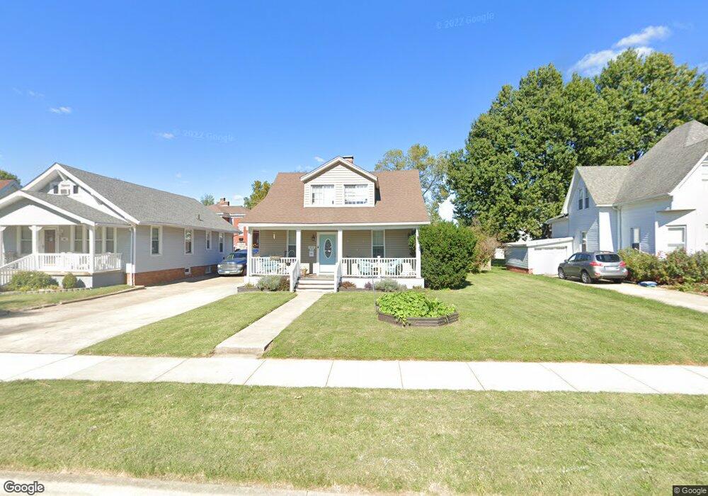
413 Brown Ave Collinsville, IL 62234
Estimated Value: $122,734 - $190,000
2
Beds
1
Bath
1,988
Sq Ft
$79/Sq Ft
Est. Value
About This Home
This home is located at 413 Brown Ave, Collinsville, IL 62234 and is currently estimated at $157,184, approximately $79 per square foot. 413 Brown Ave is a home located in Madison County with nearby schools including John A Renfro Elementary School, Dorris Intermediate School, and Collinsville Middle School.
Ownership History
Date
Name
Owned For
Owner Type
Purchase Details
Closed on
Feb 9, 2012
Sold by
Federal Home Laon Mortgage Corp
Bought by
Munton Gary and Munton Sue
Current Estimated Value
Home Financials for this Owner
Home Financials are based on the most recent Mortgage that was taken out on this home.
Original Mortgage
$24,800
Interest Rate
4.01%
Mortgage Type
Purchase Money Mortgage
Purchase Details
Closed on
Aug 9, 2011
Sold by
Mcgowan Anthony R
Bought by
Federal Home Loan Mortgage Corp
Purchase Details
Closed on
Apr 2, 2008
Sold by
Loveless Paula Sue and Loveless Samuel
Bought by
Mcgowan Anthony R
Home Financials for this Owner
Home Financials are based on the most recent Mortgage that was taken out on this home.
Original Mortgage
$71,920
Interest Rate
6.17%
Mortgage Type
Purchase Money Mortgage
Create a Home Valuation Report for This Property
The Home Valuation Report is an in-depth analysis detailing your home's value as well as a comparison with similar homes in the area
Home Values in the Area
Average Home Value in this Area
Purchase History
| Date | Buyer | Sale Price | Title Company |
|---|---|---|---|
| Munton Gary | $31,000 | None Available | |
| Federal Home Loan Mortgage Corp | -- | None Available | |
| Mcgowan Anthony R | $90,000 | Fatic |
Source: Public Records
Mortgage History
| Date | Status | Borrower | Loan Amount |
|---|---|---|---|
| Closed | Munton Gary | $24,800 | |
| Previous Owner | Mcgowan Anthony R | $71,920 |
Source: Public Records
Tax History Compared to Growth
Tax History
| Year | Tax Paid | Tax Assessment Tax Assessment Total Assessment is a certain percentage of the fair market value that is determined by local assessors to be the total taxable value of land and additions on the property. | Land | Improvement |
|---|---|---|---|---|
| 2024 | $2,799 | $43,780 | $7,200 | $36,580 |
| 2023 | $2,799 | $40,520 | $6,660 | $33,860 |
| 2022 | $2,667 | $36,360 | $5,960 | $30,400 |
| 2021 | $2,360 | $34,160 | $5,600 | $28,560 |
| 2020 | $2,275 | $32,590 | $5,340 | $27,250 |
| 2019 | $2,215 | $31,480 | $5,160 | $26,320 |
| 2018 | $1,783 | $24,570 | $4,870 | $19,700 |
| 2017 | $1,787 | $24,080 | $4,770 | $19,310 |
| 2016 | $1,882 | $24,080 | $4,770 | $19,310 |
| 2015 | $1,307 | $23,460 | $4,650 | $18,810 |
| 2014 | $1,307 | $23,460 | $4,650 | $18,810 |
| 2013 | $1,307 | $23,460 | $4,650 | $18,810 |
Source: Public Records
Map
Nearby Homes
- 1210 Constance St
- 308 Brown Ave
- 1120 Williams St
- 501 Spring
- 617 N Morrison Ave
- 919 Vine St
- 1224 Cedar Ridge Ct
- 123 W Wickliffe Ave
- 921 Prospect St
- 203 Greenfield Dr
- 0 Strong Ave
- 1227 Ridge Ave
- 706 Illinois Ave
- 0 N Keebler Ave
- 238 Mill St
- 123 Elliot St
- 404 E Church St
- 580 N Guernsey St
- 216 S Chestnut St
- 414 Bunker Hill Dr
- 409 Brown Ave
- 417 Brown Ave
- 421 Brown Ave
- 403 Brown Ave
- 804 Constance St
- 514 Wadsworth St
- 518 Wadsworth St
- 520 Wadsworth St
- 414 Brown Ave
- 502 Wadsworth St
- 412 Brown Ave
- 410 Brown Ave
- 418 Brown Ave
- 406 Brown Ave
- 420 Brown Ave
- 402 Brown Ave
- 522 Wadsworth St
- 801 Constance St
- 803 Constance St
- 336 Brown Ave