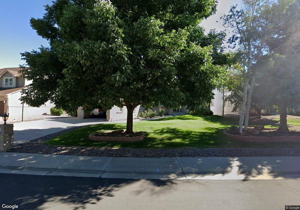
413 Columbine Ave Broomfield, CO 80020
Country Estates NeighborhoodEstimated Value: $947,000 - $1,190,000
4
Beds
3
Baths
2,938
Sq Ft
$363/Sq Ft
Est. Value
About This Home
This home is located at 413 Columbine Ave, Broomfield, CO 80020 and is currently estimated at $1,067,406, approximately $363 per square foot. 413 Columbine Ave is a home located in Broomfield County with nearby schools including Aspen Creek K-8 School, Broomfield High School, and Nativity: Faith and Reason.
Ownership History
Date
Name
Owned For
Owner Type
Purchase Details
Closed on
Jul 26, 2024
Sold by
Montgomery David G and Montgomery Cathy A
Bought by
David G Montgomery And Cathy A Montgomery Joi
Current Estimated Value
Purchase Details
Closed on
May 14, 1991
Purchase Details
Closed on
Jan 26, 1987
Create a Home Valuation Report for This Property
The Home Valuation Report is an in-depth analysis detailing your home's value as well as a comparison with similar homes in the area
Home Values in the Area
Average Home Value in this Area
Purchase History
| Date | Buyer | Sale Price | Title Company |
|---|---|---|---|
| David G Montgomery And Cathy A Montgomery Joi | -- | None Listed On Document | |
| -- | $45,900 | -- | |
| -- | $242,900 | -- |
Source: Public Records
Tax History Compared to Growth
Tax History
| Year | Tax Paid | Tax Assessment Tax Assessment Total Assessment is a certain percentage of the fair market value that is determined by local assessors to be the total taxable value of land and additions on the property. | Land | Improvement |
|---|---|---|---|---|
| 2025 | $5,634 | $67,120 | $13,940 | $53,180 |
| 2024 | $5,634 | $66,820 | $13,210 | $53,610 |
| 2023 | $5,622 | $73,130 | $14,460 | $58,670 |
| 2022 | $4,567 | $54,190 | $10,480 | $43,710 |
| 2021 | $4,544 | $55,750 | $10,780 | $44,970 |
| 2020 | $4,333 | $53,210 | $9,670 | $43,540 |
| 2019 | $4,996 | $53,580 | $9,730 | $43,850 |
| 2018 | $4,517 | $47,850 | $7,560 | $40,290 |
| 2017 | $4,448 | $52,910 | $8,360 | $44,550 |
| 2016 | $4,426 | $46,940 | $7,810 | $39,130 |
| 2015 | $4,274 | $41,860 | $7,810 | $34,050 |
| 2014 | $3,896 | $41,860 | $7,810 | $34,050 |
Source: Public Records
Map
Nearby Homes
- 583 Redstone Dr
- 13971 Telluride Dr
- 13924 Quail Ridge Dr
- 1747 Whistlepig Ln
- 146 Keystone Trail
- 1732 Peregrine Ln
- 147 Keystone Trail
- 1757 Whistlepig Ln
- 1490 Saint Andrews Dr
- 14111 Blue Stem St
- 14115 Blue Stem St
- 226 Monarch Trail
- 36 Carla Way
- 13980 Willow Wood Dr
- 5704 W 141st Place
- 267 Powderhorn Trail
- Torrey Plan at Dillon Pointe
- Evans Plan at Dillon Pointe
- Antero Plan at Dillon Pointe
- 49 Carla Way
- 423 Columbine Ave
- 373 Columbine Ave
- 433 Columbine Ave
- 363 Columbine Ave
- 380 Columbine Ave
- 410 Columbine Ave
- 420 Columbine Ave
- 330 Gladstone Cir
- 13935 Gunnison Way
- 430 Columbine Ave
- 513 Columbine Ave
- 13933 Gunnison Way
- 13941 Gunnison Way
- 353 Ouray Ave
- 333 Gladstone Cir
- 320 Gladstone Cir
- 413 Ouray Ave
- 523 Columbine Ave
- 433 Ouray Ave
- 343 Ouray Ave