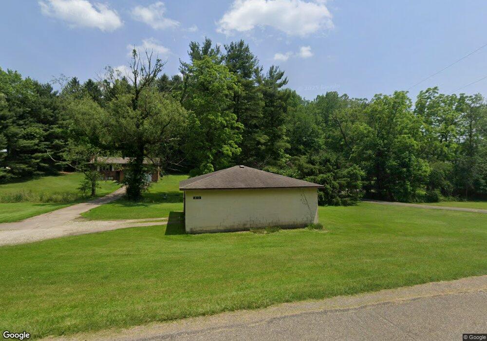
413 Fork Rd SE New Philadelphia, OH 44663
Estimated Value: $208,000 - $229,000
3
Beds
2
Baths
1,144
Sq Ft
$193/Sq Ft
Est. Value
About This Home
This home is located at 413 Fork Rd SE, New Philadelphia, OH 44663 and is currently estimated at $220,590, approximately $192 per square foot. 413 Fork Rd SE is a home located in Tuscarawas County with nearby schools including Midvale Elementary School, Tuscarawas Middle School, and Indian Valley High School.
Ownership History
Date
Name
Owned For
Owner Type
Purchase Details
Closed on
Feb 5, 2019
Sold by
Leavers James H
Bought by
Leavers Sherrill M and Leavers James H
Current Estimated Value
Purchase Details
Closed on
Feb 4, 2005
Sold by
Leavers James
Bought by
Alfano Dominic and Alfano Christine
Purchase Details
Closed on
Jun 24, 2003
Sold by
Silagy Anne Piero
Bought by
Leavers James
Home Financials for this Owner
Home Financials are based on the most recent Mortgage that was taken out on this home.
Original Mortgage
$69,400
Outstanding Balance
$29,472
Interest Rate
5.36%
Mortgage Type
Seller Take Back
Estimated Equity
$191,118
Create a Home Valuation Report for This Property
The Home Valuation Report is an in-depth analysis detailing your home's value as well as a comparison with similar homes in the area
Home Values in the Area
Average Home Value in this Area
Purchase History
| Date | Buyer | Sale Price | Title Company |
|---|---|---|---|
| Leavers Sherrill M | -- | None Available | |
| Alfano Dominic | -- | -- | |
| Leavers James | -- | The Talon Group |
Source: Public Records
Mortgage History
| Date | Status | Borrower | Loan Amount |
|---|---|---|---|
| Open | Leavers James | $69,400 |
Source: Public Records
Tax History Compared to Growth
Tax History
| Year | Tax Paid | Tax Assessment Tax Assessment Total Assessment is a certain percentage of the fair market value that is determined by local assessors to be the total taxable value of land and additions on the property. | Land | Improvement |
|---|---|---|---|---|
| 2024 | $1,522 | $54,240 | $11,690 | $42,550 |
| 2023 | $1,522 | $154,950 | $33,390 | $121,560 |
| 2022 | $1,569 | $54,233 | $11,687 | $42,546 |
| 2021 | $1,533 | $51,394 | $11,970 | $39,424 |
| 2020 | $1,551 | $51,394 | $11,970 | $39,424 |
| 2019 | $1,831 | $58,748 | $11,970 | $46,778 |
| 2018 | $1,573 | $49,570 | $10,100 | $39,470 |
| 2017 | $1,576 | $49,570 | $10,100 | $39,470 |
| 2016 | $1,887 | $49,570 | $10,100 | $39,470 |
| 2014 | $1,773 | $44,110 | $8,980 | $35,130 |
| 2013 | $1,746 | $44,110 | $8,980 | $35,130 |
Source: Public Records
Map
Nearby Homes
- 2006 Buckeye St NE
- 1892 Roxford St
- 1734 Barnhill Rd
- 247 Kent Cir NE
- 1728 Tall Timber Rd NE
- 4711 Broadway
- 0 Royal St
- 2709 Backwater Rd SE
- 0 Vernon St Unit 5009296
- 6006 Echo Lake Rd NE
- 2923 Brightwood Rd SE
- 2993 Brightwood Rd SE
- 221 Sea Gull Dr SE
- 1224 Pine Bluff Dr NE
- 641 Crider Ave NE
- 1577 State Route 39 NE
- 6285 Adams Rd NE
- 1451 Ridge Rd NE
- 0 Goshen Hill Rd SE
- 2363 Tabor Ridge Rd NE