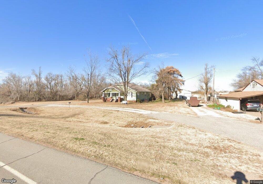
413 Highway 164 Lucien, OK 73757
Estimated Value: $91,000 - $268,000
2
Beds
1
Bath
1,370
Sq Ft
$127/Sq Ft
Est. Value
About This Home
This home is located at 413 Highway 164, Lucien, OK 73757 and is currently estimated at $174,667, approximately $127 per square foot. 413 Highway 164 is a home located in Noble County with nearby schools including Covington-Douglas Elementary School and Covington-Douglas High School.
Ownership History
Date
Name
Owned For
Owner Type
Purchase Details
Closed on
Sep 9, 2019
Sold by
Wright Clarence R
Bought by
Wright Debra K
Current Estimated Value
Purchase Details
Closed on
Aug 7, 2017
Sold by
Gregg James A and Gregg Sharon F
Bought by
Wright Rankin and Debra K Wright And Rkw Revocable Trust
Purchase Details
Closed on
Dec 1, 2000
Sold by
June D Snyder
Bought by
Joyce Inselman Schoeling
Purchase Details
Closed on
Sep 8, 1998
Sold by
Snyder June D
Bought by
State Of Okla Dot
Purchase Details
Closed on
Jul 22, 1993
Sold by
Aileen B Raulston Estate
Bought by
Robert L Snyder
Create a Home Valuation Report for This Property
The Home Valuation Report is an in-depth analysis detailing your home's value as well as a comparison with similar homes in the area
Home Values in the Area
Average Home Value in this Area
Purchase History
| Date | Buyer | Sale Price | Title Company |
|---|---|---|---|
| Wright Debra K | -- | None Available | |
| Wright Debra K | -- | None Available | |
| Wright Rankin | $45,000 | None Available | |
| Joyce Inselman Schoeling | $46,000 | -- | |
| Snyder June D | -- | -- | |
| State Of Okla Dot | $23,800 | -- | |
| Robert L Snyder | $46,500 | -- |
Source: Public Records
Tax History Compared to Growth
Tax History
| Year | Tax Paid | Tax Assessment Tax Assessment Total Assessment is a certain percentage of the fair market value that is determined by local assessors to be the total taxable value of land and additions on the property. | Land | Improvement |
|---|---|---|---|---|
| 2024 | $526 | $5,092 | $169 | $4,923 |
| 2023 | $501 | $4,849 | $161 | $4,688 |
| 2022 | $443 | $4,618 | $153 | $4,465 |
| 2021 | $435 | $4,618 | $153 | $4,465 |
| 2020 | $401 | $4,188 | $141 | $4,047 |
| 2019 | $380 | $3,989 | $141 | $3,848 |
| 2018 | $351 | $3,990 | $141 | $3,849 |
| 2017 | $244 | $2,782 | $137 | $2,645 |
| 2016 | $354 | $4,025 | $1,380 | $2,645 |
| 2015 | $573 | $7,094 | $1,100 | $5,994 |
| 2014 | $594 | $6,756 | $1,282 | $5,474 |
Source: Public Records
Map
Nearby Homes
- 0000 E 0510 Rd
- 000 E 0510 Dr
- 6101 Knob Hill
- 000 E0510 Dr
- 26100 County Road 60
- 0 Pioneer Unit 22691096
- 0 Pioneer Unit 1156398
- 9117 Knob Hill
- 9359 Knob Hill
- 9255 Knob Hill
- 9073 Knob Hill
- 208 E Quincy
- 8401 Gunsmoke
- 2500 W Fir St
- 20652 County Road 90
- 20558 County Road 90
- N N Getty Rd
- 19816 E Wheat Capital Rd
- 1210 Coffey Dr
- 1205 Coffey Dr