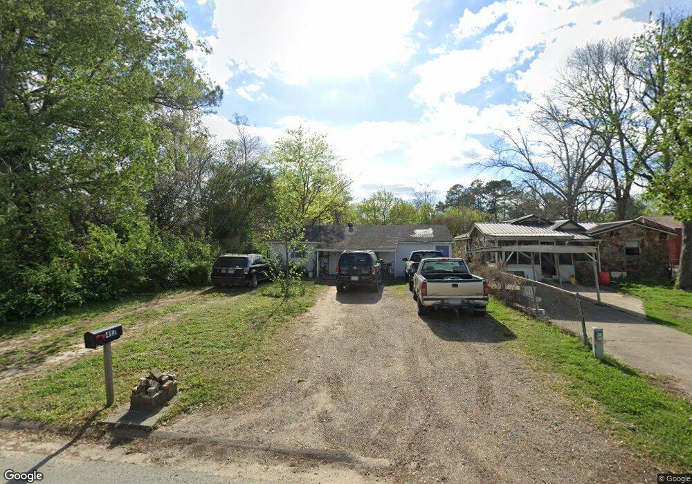
413 James St Newport, AR 72112
Estimated Value: $51,017 - $91,000
--
Bed
1
Bath
720
Sq Ft
$97/Sq Ft
Est. Value
About This Home
This home is located at 413 James St, Newport, AR 72112 and is currently estimated at $69,754, approximately $96 per square foot. 413 James St is a home located in Jackson County with nearby schools including Newport Elementary School and Newport High School.
Ownership History
Date
Name
Owned For
Owner Type
Purchase Details
Closed on
Feb 17, 2024
Sold by
Clark Barbara and Rudd Ronnie
Bought by
Williams David and Lyles Tausha
Current Estimated Value
Purchase Details
Closed on
Nov 18, 2015
Bought by
Brady
Purchase Details
Closed on
Nov 17, 2015
Bought by
Brady
Purchase Details
Closed on
Jul 21, 2015
Bought by
Brady Barbara J and Rudd Ronnie L
Purchase Details
Closed on
Feb 11, 1998
Bought by
Rudd Vernon and Rudd Peggy
Purchase Details
Closed on
Jan 1, 1987
Bought by
Lester Vernon and Rudd Peggy Sue
Purchase Details
Closed on
Jan 1, 1986
Bought by
Rudd Vernon L and Rudd Peggy S
Purchase Details
Closed on
Jul 31, 1985
Bought by
Arnold Henry and Arnold Mildred
Create a Home Valuation Report for This Property
The Home Valuation Report is an in-depth analysis detailing your home's value as well as a comparison with similar homes in the area
Home Values in the Area
Average Home Value in this Area
Purchase History
| Date | Buyer | Sale Price | Title Company |
|---|---|---|---|
| Williams David | $20,000 | None Listed On Document | |
| Brady | -- | -- | |
| Brady | -- | -- | |
| Brady Barbara J | -- | -- | |
| Rudd Vernon | -- | -- | |
| Lester Vernon | -- | -- | |
| Rudd Vernon L | -- | -- | |
| Arnold Henry | $127,000 | -- |
Source: Public Records
Tax History Compared to Growth
Tax History
| Year | Tax Paid | Tax Assessment Tax Assessment Total Assessment is a certain percentage of the fair market value that is determined by local assessors to be the total taxable value of land and additions on the property. | Land | Improvement |
|---|---|---|---|---|
| 2024 | -- | $6,190 | $2,000 | $4,190 |
| 2023 | $0 | $3,010 | $1,200 | $1,810 |
| 2022 | $8 | $3,010 | $1,200 | $1,810 |
| 2021 | $8 | $3,010 | $1,200 | $1,810 |
| 2020 | $8 | $3,010 | $1,200 | $1,810 |
| 2019 | $8 | $3,010 | $1,200 | $1,810 |
| 2018 | $0 | $3,000 | $1,000 | $2,000 |
| 2017 | $153 | $3,000 | $1,000 | $2,000 |
| 2015 | -- | $3,000 | $1,000 | $2,000 |
| 2014 | -- | $3,000 | $1,000 | $2,000 |
| 2013 | -- | $3,360 | $1,000 | $2,360 |
| 2012 | -- | $3,360 | $1,000 | $2,360 |
Source: Public Records
Map
Nearby Homes
- 2600 Hollywood St
- 2708 Robinson St
- 1217 Cherokee Dr
- 1212 Graceland Dr
- 1900 Hines St
- 1714 Dill St
- 1801 Hines St
- 203 Alice Ct
- 504 S State St
- 1407 Dill St
- 1311 Dill St
- 2208 John Cir
- 1105 Josephine St
- 0 Robinson Rd
- 0 Holmes St Unit 25033630
- 0 Holmes St Unit 25-486
- 910 & 914 Dill St
- 900 Josephine St
- 4 Virginia Rd
- 900 Dill St