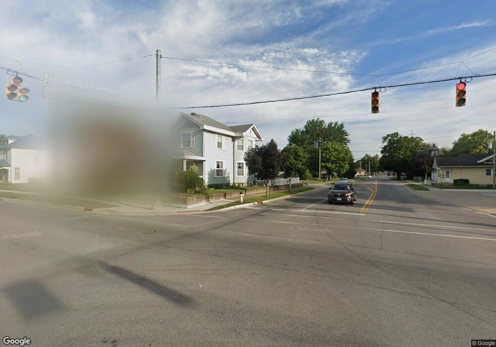
413 N Cicott St Logansport, IN 46947
Estimated Value: $113,000 - $171,549
3
Beds
2
Baths
1,269
Sq Ft
$104/Sq Ft
Est. Value
About This Home
This home is located at 413 N Cicott St, Logansport, IN 46947 and is currently estimated at $132,387, approximately $104 per square foot. 413 N Cicott St is a home located in Cass County with nearby schools including Logansport Community High School and All Saints Catholic School.
Ownership History
Date
Name
Owned For
Owner Type
Purchase Details
Closed on
May 15, 2018
Sold by
Glebe Point Partnership Llc
Bought by
Logansport Municipal Building Corp
Current Estimated Value
Purchase Details
Closed on
Jun 10, 2012
Sold by
Lonnie Johnson Signer
Bought by
Lonnie L Johnson
Purchase Details
Closed on
Mar 30, 2012
Sold by
Lonnie L Johnson
Bought by
Lonnie L Johnson Jr Signer
Purchase Details
Closed on
Feb 21, 2012
Sold by
Vaneen M Ide
Bought by
Lonnie L Johnson
Create a Home Valuation Report for This Property
The Home Valuation Report is an in-depth analysis detailing your home's value as well as a comparison with similar homes in the area
Home Values in the Area
Average Home Value in this Area
Purchase History
| Date | Buyer | Sale Price | Title Company |
|---|---|---|---|
| Logansport Municipal Building Corp | -- | -- | |
| Lonnie L Johnson | -- | -- | |
| Lonnie L Johnson Jr Signer | -- | -- | |
| Lonnie L Johnson | $500 | -- |
Source: Public Records
Tax History Compared to Growth
Tax History
| Year | Tax Paid | Tax Assessment Tax Assessment Total Assessment is a certain percentage of the fair market value that is determined by local assessors to be the total taxable value of land and additions on the property. | Land | Improvement |
|---|---|---|---|---|
| 2024 | $312 | $106,500 | $7,100 | $99,400 |
| 2022 | $304 | $80,900 | $7,100 | $73,800 |
| 2021 | $337 | $63,400 | $6,800 | $56,600 |
| 2020 | $286 | $58,100 | $6,800 | $51,300 |
| 2019 | $159 | $5,300 | $5,300 | $0 |
| 2018 | $156 | $5,200 | $5,200 | $0 |
| 2017 | $780 | $39,000 | $6,700 | $32,300 |
| 2016 | $1,920 | $41,400 | $6,700 | $34,700 |
| 2014 | $894 | $44,700 | $6,700 | $38,000 |
| 2013 | $894 | $48,100 | $6,800 | $41,300 |
Source: Public Records
Map
Nearby Homes
- 424 W Broadway
- 840 Helm St
- 108 N Cicott St
- 715 State St
- 514 W Linden Ave
- 325 Wheatland Ave
- 603 Bates St
- 908 W Miami Ave
- 442 Bates St
- 80 Eel River Ave
- 435 Washington St
- 218 W Miami Ave
- 506 Howard St
- 136 W Ottawa St
- 320 W Clay St
- 115 W Ottawa St
- 20 Wheatland Ave
- 115 Tanguy St
- 203 Beal St
- 408 Burlington Ave
- 608 W Market St
- 610 W Market St
- 414 Heath St
- 410 Heath St
- 614 W Market St
- 607 W Broadway
- 600 W Market St
- 613 W Broadway
- 412 N Cicott St
- 616 W Market St
- 617 W Broadway
- 531 W Broadway
- 530 W Market St
- 618 W Market St
- 527 W Broadway
- 409 Heath St
- 700 W Market St
- 521 W Broadway
- 600 W Broadway
- 517 W Broadway