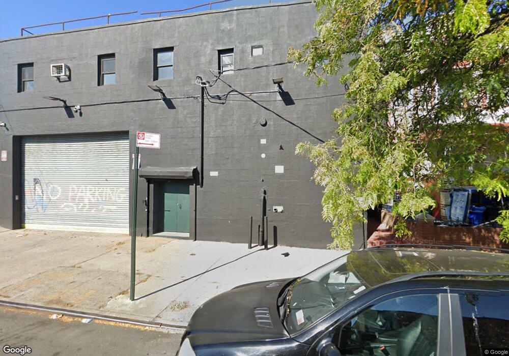
413 Newport St Brooklyn, NY 11207
Brownsville Neighborhood
Studio
--
Bath
5,358
Sq Ft
5,401
Sq Ft Lot
About This Home
This home is located at 413 Newport St, Brooklyn, NY 11207. 413 Newport St is a home located in Kings County with nearby schools including P.S. 190 - Sheffield, Achievement First - East New York School, and Grace Christian Educational.
Ownership History
Date
Name
Owned For
Owner Type
Purchase Details
Closed on
Apr 27, 2011
Sold by
Orly Constuction Corp
Bought by
Orly Properties Llc
Purchase Details
Closed on
Oct 7, 1999
Sold by
Alpha Reo Corp
Bought by
Orly Construction Corp
Home Financials for this Owner
Home Financials are based on the most recent Mortgage that was taken out on this home.
Original Mortgage
$252,000
Interest Rate
7.73%
Mortgage Type
Commercial
Purchase Details
Closed on
Feb 10, 1998
Sold by
Ken Wire & Metal Products Inc
Bought by
Alpha Reo Corp
Create a Home Valuation Report for This Property
The Home Valuation Report is an in-depth analysis detailing your home's value as well as a comparison with similar homes in the area
Home Values in the Area
Average Home Value in this Area
Purchase History
| Date | Buyer | Sale Price | Title Company |
|---|---|---|---|
| Orly Properties Llc | -- | -- | |
| Orly Construction Corp | $360,000 | Titleserv | |
| Alpha Reo Corp | $251,000 | Titleserv |
Source: Public Records
Mortgage History
| Date | Status | Borrower | Loan Amount |
|---|---|---|---|
| Previous Owner | Orly Construction Corp | $252,000 |
Source: Public Records
Tax History
| Year | Tax Paid | Tax Assessment Tax Assessment Total Assessment is a certain percentage of the fair market value that is determined by local assessors to be the total taxable value of land and additions on the property. | Land | Improvement |
|---|---|---|---|---|
| 2025 | $26,263 | $272,250 | $48,600 | $223,650 |
| 2024 | $26,263 | $275,850 | $48,600 | $227,250 |
| 2023 | $23,632 | $265,050 | $48,600 | $216,450 |
| 2022 | $21,077 | $253,350 | $48,600 | $204,750 |
| 2021 | $18,426 | $198,900 | $48,600 | $150,300 |
| 2020 | $10,237 | $246,600 | $48,600 | $198,000 |
| 2019 | $21,859 | $243,900 | $48,600 | $195,300 |
| 2018 | $24,461 | $232,650 | $48,600 | $184,050 |
| 2017 | $27,549 | $306,900 | $48,600 | $258,300 |
| 2016 | $26,079 | $280,800 | $43,650 | $237,150 |
| 2015 | $7,981 | $244,800 | $43,650 | $201,150 |
| 2014 | $7,981 | $234,000 | $43,650 | $190,350 |
Source: Public Records
Map
Nearby Homes
- 533 Snediker Ave
- 584 Hinsdale St
- 589 Hinsdale St
- 578 Williams Ave
- 582 Williams Ave
- 546 Powell St
- 502 Powell St
- 592 Powell St
- 699 Sackman St
- 650 Williams Ave
- 606 Alabama Ave
- 610 Alabama Ave
- 660 Williams Ave
- 525 Alabama Ave
- 1753 Linden Blvd
- 1755 Linden Blvd
- 555 Christopher Ave
- 797 Mother Gaston Blvd
- 578 Christopher Ave
- 90 Louisiana Ave
- 415 Newport St
- 417 Newport St
- 421 Newport St
- 423 Newport St
- 427 Newport St
- 558 Snediker Ave
- 554 Snediker Ave
- 552 Snediker Ave
- 429 Newport St
- 550 Snediker Ave
- 412 Newport St
- 416 Newport St
- 418 Newport St
- 546 Snediker Ave
- 422 Newport St
- 544 Snediker Ave
- 601 van Sinderen Ave
- 424 Newport St
- 428 Newport St
- 428 Newport St Unit 28
Your Personal Tour Guide
Ask me questions while you tour the home.