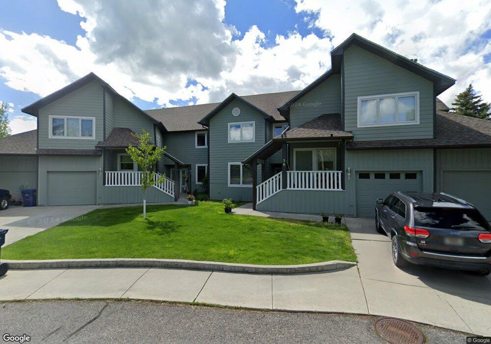
413 Overbrook Dr Unit 41 Bozeman, MT 59715
South Bozeman NeighborhoodEstimated Value: $578,405 - $708,000
3
Beds
2
Baths
1,582
Sq Ft
$387/Sq Ft
Est. Value
About This Home
This home is located at 413 Overbrook Dr Unit 41, Bozeman, MT 59715 and is currently estimated at $612,851, approximately $387 per square foot. 413 Overbrook Dr Unit 41 is a home located in Gallatin County with nearby schools including Morning Star School, Sacajawea Middle School, and Bozeman High School.
Ownership History
Date
Name
Owned For
Owner Type
Purchase Details
Closed on
Apr 11, 2017
Sold by
Molly Wrobel Thompson
Bought by
Zale Geary
Current Estimated Value
Home Financials for this Owner
Home Financials are based on the most recent Mortgage that was taken out on this home.
Original Mortgage
$252,000
Outstanding Balance
$208,059
Interest Rate
4.1%
Estimated Equity
$404,792
Purchase Details
Closed on
Nov 9, 2005
Sold by
Brewer Linda K
Bought by
Wrobel John E
Home Financials for this Owner
Home Financials are based on the most recent Mortgage that was taken out on this home.
Original Mortgage
$201,600
Interest Rate
5.93%
Mortgage Type
Fannie Mae Freddie Mac
Create a Home Valuation Report for This Property
The Home Valuation Report is an in-depth analysis detailing your home's value as well as a comparison with similar homes in the area
Home Values in the Area
Average Home Value in this Area
Purchase History
| Date | Buyer | Sale Price | Title Company |
|---|---|---|---|
| Zale Geary | -- | -- | |
| Wrobel John E | -- | American Land Title Company |
Source: Public Records
Mortgage History
| Date | Status | Borrower | Loan Amount |
|---|---|---|---|
| Open | Zale Geary | $252,000 | |
| Closed | Zale Geary | -- | |
| Previous Owner | Wrobel John E | $201,600 | |
| Previous Owner | Wrobel John E | $25,200 |
Source: Public Records
Map
Nearby Homes
- 2404 Westridge Dr
- 915 Arnold St
- 2600 S 11th Ave
- 3025 Macnab St
- TBD Spring Creek Dr
- 517 Staudaher St
- 2516 Spring Creek Dr
- 3005 Westridge Dr
- 1918 & TBD Spring Creek Dr
- 1914 Spring Creek Dr
- 1918 Spring Creek Dr
- 407 Fieldstone Dr
- 102 Hoffman Dr Unit 1
- 2020 S Rouse Ave Unit B-8
- 3166 Gardenbrook Ln
- 1302 S 3rd Ave
- 1719 W Kagy Blvd
- 3281 Gardenbrook Ln
- 1521 Cambridge Dr
- 1301 Cambridge Dr
- 413 Overbrook Dr Unit 39
- 411 Overbrook Dr
- 411 Overbrook Dr Unit 33
- 411 Overbrook Dr Unit 35
- 411 Overbrook Dr Unit 31
- 2403 Westridge Dr
- 409 Overbrook Dr
- 409 Overbrook Dr Unit 21
- 409 Overbrook Dr Unit 25
- 409 Overbrook Dr Unit 23
- 409 Overbrook Dr Unit 27
- 2407 Westridge Dr
- 511 Westridge Dr
- 2402 Westridge Dr
- 516 Westridge Dr
- 2409 Westridge Dr
- 407 Overbrook Dr Unit 13
- 407 Overbrook Dr Unit 19
- 407 Overbrook Dr Unit 15
- 510 Westridge Dr
Your Personal Tour Guide
Ask me questions while you tour the home.