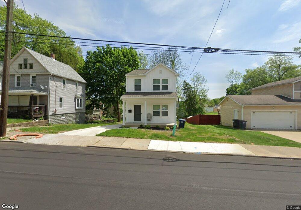
413 Rhodes Ave Akron, OH 44307
Sherbondy Hill NeighborhoodEstimated Value: $227,163 - $264,000
3
Beds
3
Baths
1,600
Sq Ft
$152/Sq Ft
Est. Value
About This Home
This home is located at 413 Rhodes Ave, Akron, OH 44307 and is currently estimated at $243,541, approximately $152 per square foot. 413 Rhodes Ave is a home located in Summit County with nearby schools including Towpath Trail High School, St. Vincent Elementary School, and St Vincent-St Mary High School.
Ownership History
Date
Name
Owned For
Owner Type
Purchase Details
Closed on
Mar 11, 2024
Sold by
Si K Hovnanian Akron Scattered
Bought by
Fitch Desmond
Current Estimated Value
Home Financials for this Owner
Home Financials are based on the most recent Mortgage that was taken out on this home.
Original Mortgage
$233,990
Outstanding Balance
$230,142
Interest Rate
6.69%
Mortgage Type
New Conventional
Estimated Equity
$13,399
Purchase Details
Closed on
Feb 2, 2023
Sold by
City Of Akron
Bought by
K Hovnanian Akron Scattered Site Llc
Purchase Details
Closed on
May 22, 2003
Sold by
Porter Pamela E
Bought by
City Of Akron
Create a Home Valuation Report for This Property
The Home Valuation Report is an in-depth analysis detailing your home's value as well as a comparison with similar homes in the area
Home Values in the Area
Average Home Value in this Area
Purchase History
| Date | Buyer | Sale Price | Title Company |
|---|---|---|---|
| Fitch Desmond | $233,990 | None Listed On Document | |
| K Hovnanian Akron Scattered Site Llc | $2,295 | -- | |
| City Of Akron | -- | Minnesota Title Agency Inc |
Source: Public Records
Mortgage History
| Date | Status | Borrower | Loan Amount |
|---|---|---|---|
| Open | Fitch Desmond | $233,990 |
Source: Public Records
Tax History Compared to Growth
Tax History
| Year | Tax Paid | Tax Assessment Tax Assessment Total Assessment is a certain percentage of the fair market value that is determined by local assessors to be the total taxable value of land and additions on the property. | Land | Improvement |
|---|---|---|---|---|
| 2025 | -- | $5,289 | $5,289 | -- |
| 2024 | -- | $5,289 | $5,289 | -- |
| 2023 | -- | $5,289 | $5,289 | $0 |
| 2022 | $0 | $3,112 | $3,112 | $0 |
| 2021 | $0 | $3,112 | $3,112 | $0 |
| 2020 | $0 | $3,110 | $3,110 | $0 |
| 2019 | $0 | $4,700 | $4,700 | $0 |
| 2018 | $0 | $4,700 | $4,700 | $0 |
| 2017 | $0 | $4,700 | $4,700 | $0 |
| 2016 | $0 | $4,700 | $4,700 | $0 |
| 2015 | -- | $4,700 | $4,700 | $0 |
| 2014 | -- | $4,700 | $4,700 | $0 |
| 2013 | -- | $0 | $0 | $0 |
Source: Public Records
Map
Nearby Homes
- 478 Copley Rd
- 238 Gale St
- 483 Bishop St
- 243 S Balch St
- 453 Briarwood Dr
- 222 Rhodes Ave
- 577 Rhodes Ave
- 413 Crestwood Ave
- 568 Auld Farm Cir
- 524 Auld Farm Cir
- 644 Diagonal Rd
- 136 Gale St
- 434 Hillwood Dr
- 144 Hall St
- 91 Westwood Ave
- 414 Beechwood Dr
- 593 Hoye Ave
- 359 Beechwood Dr
- 867 Orrin St
- 525 Crosby St
- 407 Rhodes Ave
- 403 Rhodes Ave
- 423 Rhodes Ave
- 401 Rhodes Ave
- 427 Rhodes Ave
- 414 Douglas St
- 418 Douglas St
- 410 Douglas St
- 414 Rhodes Ave
- 395 Rhodes Ave
- 406 Douglas St
- 431 Rhodes Ave
- 408 Rhodes Ave
- 420 Rhodes Ave
- 398 Douglas St
- 430 Douglas St
- 424 Rhodes Ave
- 375 Lillian St
- 387 Rhodes Ave Unit 389
- 394 Douglas St