Estimated Value: $86,000 - $148,111
--
Bed
--
Bath
1,144
Sq Ft
$109/Sq Ft
Est. Value
About This Home
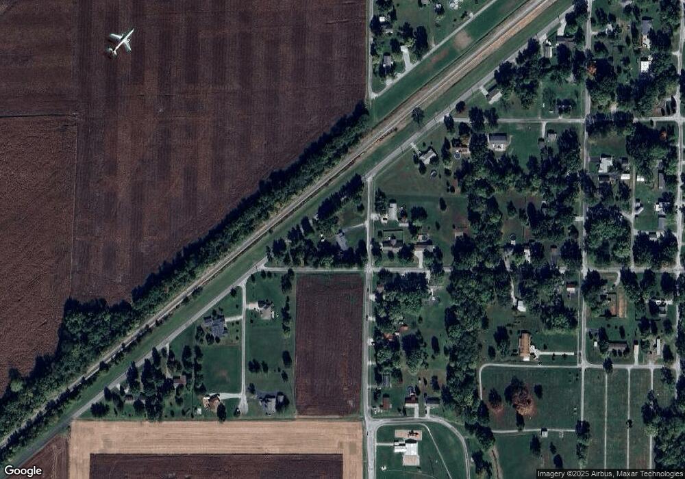
This home is located at 413 S Linton St, Odin, IL 62870 and is currently estimated at $124,778, approximately $109 per square foot. 413 S Linton St is a home with nearby schools including Odin Attendance Center K-8.
Ownership History
Date
Name
Owned For
Owner Type
Purchase Details
Closed on
Dec 17, 2019
Sold by
Lynch Kd Lynn
Bought by
Lynch Kd Lynn and Lynch Nicholas Aron
Current Estimated Value
Purchase Details
Closed on
Mar 17, 2017
Sold by
Wilkerson Lisa and Sprehe Pamela
Bought by
Phillips Danny and Phillips Leanne
Home Financials for this Owner
Home Financials are based on the most recent Mortgage that was taken out on this home.
Original Mortgage
$71,214
Outstanding Balance
$59,380
Interest Rate
4.37%
Mortgage Type
FHA
Estimated Equity
$65,398
Create a Home Valuation Report for This Property
The Home Valuation Report is an in-depth analysis detailing your home's value as well as a comparison with similar homes in the area
Home Values in the Area
Average Home Value in this Area
Purchase History
| Date | Buyer | Sale Price | Title Company |
|---|---|---|---|
| Lynch Kd Lynn | -- | None Available | |
| Phillips Danny | $170,000 | Quad County Title | |
| Lynch Kd Lynn | $75,000 | Quad County Title |
Source: Public Records
Mortgage History
| Date | Status | Borrower | Loan Amount |
|---|---|---|---|
| Open | Lynch Kd Lynn | $71,214 | |
| Open | Phillips Danny | $145,834 |
Source: Public Records
Tax History Compared to Growth
Tax History
| Year | Tax Paid | Tax Assessment Tax Assessment Total Assessment is a certain percentage of the fair market value that is determined by local assessors to be the total taxable value of land and additions on the property. | Land | Improvement |
|---|---|---|---|---|
| 2024 | $1,742 | $45,710 | $3,660 | $42,050 |
| 2023 | $1,622 | $42,720 | $3,420 | $39,300 |
| 2022 | $1,537 | $25,720 | $3,110 | $22,610 |
| 2021 | $1,488 | $24,040 | $2,910 | $21,130 |
| 2020 | $1,456 | $23,320 | $2,820 | $20,500 |
| 2019 | $1,407 | $22,470 | $2,720 | $19,750 |
| 2018 | $1,447 | $22,520 | $2,770 | $19,750 |
| 2017 | $263 | $22,080 | $2,720 | $19,360 |
| 2016 | $263 | $21,310 | $2,690 | $18,620 |
| 2015 | $3 | $21,310 | $2,690 | $18,620 |
| 2012 | $3 | $20,890 | $2,630 | $18,260 |
Source: Public Records
Map
Nearby Homes
- 200 W Chestnut St
- 410 S Merritt St
- 408 W Kirkwood St
- 405 Saint Clair St
- 962 Red Stripe Rd
- 2071 Lindell Ave
- 2814 Chouteau Ave
- 2924 Red Stripe Rd
- 216 S Mine St
- 2320 W Main St
- 000 S Mine St
- 0 N Jefferson St
- 00 N Jefferson St
- 2022 W Main St
- 1166 Community Beach Rd
- 507 E 12th St
- 1629 Green Street Rd
- 1617 Green Street Rd
- 5274 Norton Rd
- 2019 W Main St
- 304 W Chestnut St
- 412 S Linton St
- 304 W Main St
- 305 W Chestnut St
- 302 W Chestnut St
- 502 S Linton St
- 502 S Scott St
- 301 W Chestnut St
- 504 S Linton St
- 303 W Main St
- 506 S Linton St
- 501 S Scott St
- 508 S Linton St
- 301 W Walnut St
- 508 S Scott St
- 304 Park St
- 208 W Chestnut St
- 510 S Linton St
- 207 W Chestnut St
- 207 W Walnut St
