413 Stone Rd West Newfield, ME 04095
Newfield NeighborhoodEstimated Value: $348,040 - $495,000
3
Beds
2
Baths
1,840
Sq Ft
$240/Sq Ft
Est. Value
About This Home
This home is located at 413 Stone Rd, West Newfield, ME 04095 and is currently estimated at $441,680, approximately $240 per square foot. 413 Stone Rd is a home located in York County with nearby schools including Massabesic High School.
Ownership History
Date
Name
Owned For
Owner Type
Purchase Details
Closed on
Mar 23, 2012
Sold by
Perreault Lisa C and Perreault Ryan C
Bought by
Parcell Amanda J and Parcell Michael J
Current Estimated Value
Home Financials for this Owner
Home Financials are based on the most recent Mortgage that was taken out on this home.
Original Mortgage
$138,000
Outstanding Balance
$94,751
Interest Rate
3.86%
Mortgage Type
Purchase Money Mortgage
Estimated Equity
$346,929
Create a Home Valuation Report for This Property
The Home Valuation Report is an in-depth analysis detailing your home's value as well as a comparison with similar homes in the area
Home Values in the Area
Average Home Value in this Area
Purchase History
| Date | Buyer | Sale Price | Title Company |
|---|---|---|---|
| Parcell Amanda J | -- | -- |
Source: Public Records
Mortgage History
| Date | Status | Borrower | Loan Amount |
|---|---|---|---|
| Open | Parcell Amanda J | $138,000 |
Source: Public Records
Tax History Compared to Growth
Tax History
| Year | Tax Paid | Tax Assessment Tax Assessment Total Assessment is a certain percentage of the fair market value that is determined by local assessors to be the total taxable value of land and additions on the property. | Land | Improvement |
|---|---|---|---|---|
| 2024 | $3,488 | $295,600 | $79,100 | $216,500 |
| 2023 | $3,228 | $295,600 | $79,100 | $216,500 |
| 2022 | $2,885 | $295,600 | $79,100 | $216,500 |
| 2021 | $2,691 | $236,500 | $63,300 | $173,200 |
| 2020 | $2,691 | $236,500 | $63,300 | $173,200 |
| 2019 | $2,635 | $236,500 | $63,300 | $173,200 |
| 2018 | $2,130 | $236,500 | $63,300 | $173,200 |
| 2017 | $2,554 | $236,500 | $63,300 | $173,200 |
| 2016 | $2,486 | $236,500 | $63,300 | $173,200 |
| 2015 | $2,304 | $236,500 | $63,300 | $173,200 |
| 2014 | $2,069 | $222,500 | $61,000 | $161,500 |
| 2013 | $2,003 | $222,500 | $61,000 | $161,500 |
Source: Public Records
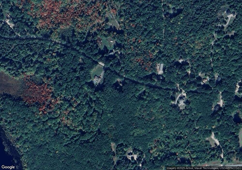
Map
Nearby Homes
- 11 Symmes Dr
- 41 Hobbs Rd
- 48 Elm St
- 67 Elm St
- 360 Bridge St
- 223 Bridge St
- 44 Carroll Pit Rd
- Lot 3C Bridge St
- 00 Bridge St
- 122 Onamor Dr
- 220 Bond Spring Rd
- 00 Carter Ln
- 519 Elm St
- 570 Maplewood Rd
- 1089 Maplewood Rd
- 282 Granny Kent Pond Rd
- 174 Wakefield Rd
- 760 Mountain Rd
- 84 Shady Nook Rd
- 515 Range Rd E
- 47 Tory Mountain Rd
- 70 Spring Rd
- 47 Tory Mountain Ln
- TBD Seadale Ln
- 437 Stone Rd
- 0 Tory Mountain Ln
- 448 Stone Rd
- 452 Stone Rd
- 454 Stone Rd
- 37 Tory Mountain Ln
- 44 Tory Mountain Ln
- lot 7-2 Stone Rd
- L 2 + 3 Water St
- 462 Stone Rd
- 00 Seadale Ln
- 460 Stone Rd
- 380 Stone Rd
- 481 Stone Rd
- 388 Water St
- 388 Water St