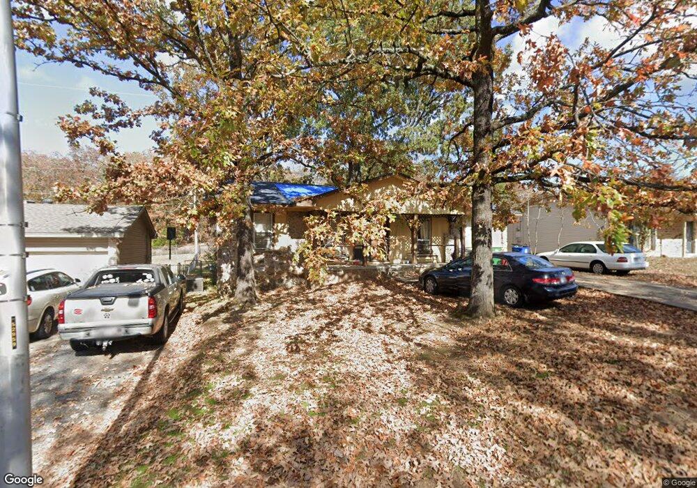
413 Texas Ave North Little Rock, AR 72118
Amboy NeighborhoodEstimated Value: $119,576 - $187,000
--
Bed
2
Baths
1,392
Sq Ft
$105/Sq Ft
Est. Value
About This Home
This home is located at 413 Texas Ave, North Little Rock, AR 72118 and is currently estimated at $146,394, approximately $105 per square foot. 413 Texas Ave is a home located in Pulaski County with nearby schools including Amboy Elementary School, North Little Rock Middle School 6th Grade Campus, and North Little Rock High School.
Ownership History
Date
Name
Owned For
Owner Type
Purchase Details
Closed on
May 17, 2012
Sold by
Wojcik Dana and Wojcik Janice L
Bought by
Tarvin Scott and Tarvin Debbie
Current Estimated Value
Purchase Details
Closed on
Nov 3, 2000
Sold by
Pulaski Bank & Trust Company
Bought by
Wojcik Dan and Wojcik Janice
Purchase Details
Closed on
Nov 18, 1998
Sold by
Richardson Lin P
Bought by
Wojcik Dan and Wojcik Janice
Purchase Details
Closed on
Oct 15, 1998
Sold by
Fleming Sean
Bought by
Buford Beau W
Create a Home Valuation Report for This Property
The Home Valuation Report is an in-depth analysis detailing your home's value as well as a comparison with similar homes in the area
Home Values in the Area
Average Home Value in this Area
Purchase History
| Date | Buyer | Sale Price | Title Company |
|---|---|---|---|
| Tarvin Scott | -- | American Abstract & Title Co | |
| Wojcik Dan | -- | Lenders Title Company | |
| Wojcik Dan | $31,000 | Beach Abstract & Guaranty Co | |
| Buford Beau W | $80,000 | Lenders Title Company |
Source: Public Records
Tax History Compared to Growth
Tax History
| Year | Tax Paid | Tax Assessment Tax Assessment Total Assessment is a certain percentage of the fair market value that is determined by local assessors to be the total taxable value of land and additions on the property. | Land | Improvement |
|---|---|---|---|---|
| 2025 | $1,308 | $21,005 | $2,400 | $18,605 |
| 2024 | $1,151 | $21,005 | $2,400 | $18,605 |
| 2023 | $1,151 | $21,005 | $2,400 | $18,605 |
| 2022 | $1,099 | $21,005 | $2,400 | $18,605 |
| 2021 | $1,047 | $15,670 | $3,500 | $12,170 |
| 2020 | $672 | $15,670 | $3,500 | $12,170 |
| 2019 | $672 | $15,670 | $3,500 | $12,170 |
| 2018 | $697 | $15,670 | $3,500 | $12,170 |
| 2017 | $1,047 | $15,670 | $3,500 | $12,170 |
| 2016 | $808 | $17,340 | $4,000 | $13,340 |
| 2015 | $1,158 | $17,340 | $4,000 | $13,340 |
| 2014 | $1,158 | $17,340 | $4,000 | $13,340 |
Source: Public Records
Map
Nearby Homes
- 1400 Nicole Dr
- Lot 87 Foxboro Dr
- Lot 86 Foxboro Dr
- Lot 85 Foxboro Dr
- Lot 84 Foxboro Dr
- Lot 83 Foxboro Dr
- Lot 82 Foxboro Dr
- Lot 96 Foxboro Dr
- Lot 95 Foxboro Dr
- Lot 90 Foxboro Dr
- Lot 91 Foxboro Dr
- Lot 89 Foxboro Dr
- Lot 88 Foxboro Dr
- 409 Harper Ln
- 5709 Shamrock Dr
- 1108 Nicole Dr
- 5612 Division St
- 4920 Lee St
- 5630 Foxboro Dr
- 702 E Military Dr
- 409 Texas Ave
- 6116 Foxboro Dr
- 405 Texas Ave
- 6112 Foxboro Dr
- 412 Texas Ave
- 408 Texas Ave
- 6115 Foxboro Dr
- 401 Texas Ave
- 6108 Foxboro Dr
- 0 Texas Ave
- 400 Texas Ave
- 6101 Foxboro Dr
- 6104 Green Valley Ave
- 4 Dena Cove
- 325 Texas Ave
- 6104 Foxboro Dr
- 6009 Foxboro Dr
- 3 Dena Cove
- 0 Green Valley Ave
- 6100 Green Valley Ave Unit Green Valley