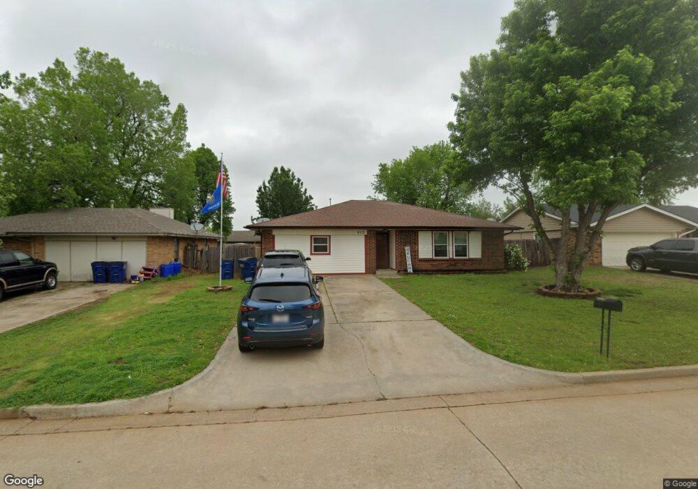
413 W Maple Branch Way Mustang, OK 73064
Estimated Value: $202,000 - $225,000
3
Beds
2
Baths
1,568
Sq Ft
$137/Sq Ft
Est. Value
About This Home
This home is located at 413 W Maple Branch Way, Mustang, OK 73064 and is currently estimated at $214,528, approximately $136 per square foot. 413 W Maple Branch Way is a home located in Canadian County with nearby schools including Mustang Centennial Elementary School, Mustang Horizon Intermediate School, and Mustang Middle School.
Ownership History
Date
Name
Owned For
Owner Type
Purchase Details
Closed on
Sep 20, 2001
Sold by
Poole Karen Sue
Current Estimated Value
Purchase Details
Closed on
Jan 30, 1998
Sold by
West Todd D and West Judy A
Purchase Details
Closed on
Jul 21, 1989
Purchase Details
Closed on
Nov 14, 1988
Purchase Details
Closed on
Oct 10, 1988
Purchase Details
Closed on
Jun 1, 1987
Create a Home Valuation Report for This Property
The Home Valuation Report is an in-depth analysis detailing your home's value as well as a comparison with similar homes in the area
Home Values in the Area
Average Home Value in this Area
Purchase History
| Date | Buyer | Sale Price | Title Company |
|---|---|---|---|
| -- | $67,000 | -- | |
| -- | $60,000 | -- | |
| -- | -- | -- | |
| -- | -- | -- | |
| -- | -- | -- | |
| -- | -- | -- |
Source: Public Records
Tax History Compared to Growth
Tax History
| Year | Tax Paid | Tax Assessment Tax Assessment Total Assessment is a certain percentage of the fair market value that is determined by local assessors to be the total taxable value of land and additions on the property. | Land | Improvement |
|---|---|---|---|---|
| 2024 | $1,358 | $15,054 | $1,731 | $13,323 |
| 2023 | $1,358 | $14,615 | $1,727 | $12,888 |
| 2022 | $1,332 | $14,190 | $1,722 | $12,468 |
| 2021 | $1,295 | $13,777 | $1,709 | $12,068 |
| 2020 | $1,262 | $13,375 | $1,682 | $11,693 |
| 2019 | $1,223 | $12,986 | $1,656 | $11,330 |
| 2018 | $1,210 | $12,608 | $1,624 | $10,984 |
| 2017 | $1,158 | $12,240 | $1,587 | $10,653 |
| 2016 | $1,124 | $12,240 | $1,601 | $10,639 |
| 2015 | $1,059 | $11,538 | $1,478 | $10,060 |
| 2014 | $1,059 | $11,202 | $1,373 | $9,829 |
Source: Public Records
Map
Nearby Homes
- 413 W Pines Way
- 531 W Shadow Ridge Way
- 237 W Pines Way
- 628 W Alamo Court Way
- 602 W Shadow Ridge Way
- 606 N Pine Branch Way
- 601 N Chisholm Trail Way
- 3629 Blue Ave
- 3633 Blue Ave
- 3637 Pete St
- 3636 Blue Ave
- 3633 Pete St
- 3632 Blue Ave
- 0 N Mustang Rd
- 0 N Mustang Rd
- 350 W Elder Dr
- 508 N Caddell Way
- 608 N Remington Way
- 14842 SW 74th St
- 14900 SW 74th St
- 417 W Maple Branch Way
- 409 W Maple Branch Way
- 412 W Apple Branch Way
- 418 W Apple Branch Way
- 421 W Maple Branch Way
- 341 W Maple Branch Way
- 406 W Apple Branch Way
- 410 W Maple Branch Way
- 424 W Apple Branch Way
- 416 W Maple Branch Way
- 404 W Maple Branch Way
- 425 W Maple Branch Way
- 337 W Maple Branch Way
- 338 W Apple Branch Way
- 422 W Maple Branch Way
- 430 W Apple Branch Way
- 338 W Maple Branch Way
- 333 W Maple Branch Way
- 429 W Maple Branch Way
- 334 W Apple Branch Way