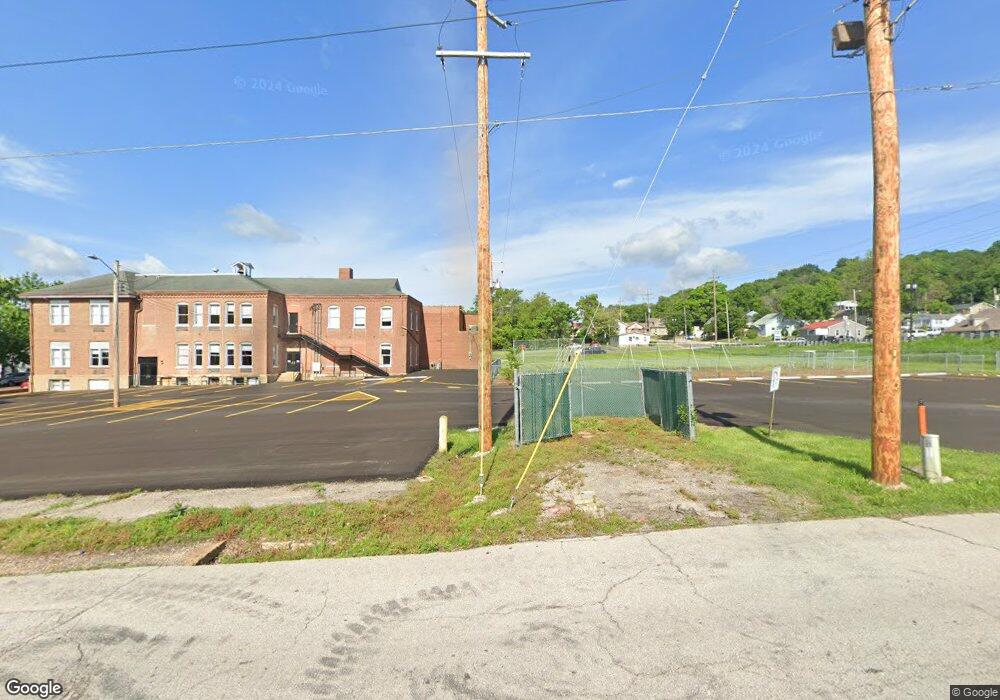
413 W Union St Pacific, MO 63069
Estimated Value: $764,140
Studio
--
Bath
46,718
Sq Ft
$16/Sq Ft
Est. Value
About This Home
This home is located at 413 W Union St, Pacific, MO 63069 and is currently estimated at $764,140, approximately $16 per square foot. 413 W Union St is a home located in Franklin County with nearby schools including Pacific High School and St Bridget Elementary School.
Ownership History
Date
Name
Owned For
Owner Type
Purchase Details
Closed on
Dec 9, 2025
Sold by
Community School Preservation Llc
Bought by
Crosspoint Christian School Association Inc
Current Estimated Value
Home Financials for this Owner
Home Financials are based on the most recent Mortgage that was taken out on this home.
Original Mortgage
$1,700,000
Outstanding Balance
$1,700,000
Interest Rate
6.17%
Mortgage Type
Construction
Estimated Equity
-$935,860
Purchase Details
Closed on
Jul 11, 2019
Sold by
Meramec Valley R Iii School Di
Bought by
Community School Preservation
Create a Home Valuation Report for This Property
The Home Valuation Report is an in-depth analysis detailing your home's value as well as a comparison with similar homes in the area
Home Values in the Area
Average Home Value in this Area
Purchase History
| Date | Buyer | Sale Price | Title Company |
|---|---|---|---|
| Crosspoint Christian School Association Inc | -- | None Listed On Document | |
| Community School Preservation | -- | None Available |
Source: Public Records
Mortgage History
| Date | Status | Borrower | Loan Amount |
|---|---|---|---|
| Open | Crosspoint Christian School Association Inc | $1,700,000 |
Source: Public Records
Tax History
| Year | Tax Paid | Tax Assessment Tax Assessment Total Assessment is a certain percentage of the fair market value that is determined by local assessors to be the total taxable value of land and additions on the property. | Land | Improvement |
|---|---|---|---|---|
| 2025 | $36,032 | $449,444 | $0 | $0 |
| 2024 | $36,032 | $495,242 | $0 | $0 |
| 2023 | $39,779 | $0 | $0 | $0 |
| 2022 | $0 | $0 | $0 | $0 |
| 2021 | $0 | $0 | $0 | $0 |
| 2020 | $0 | $0 | $0 | $0 |
| 2019 | $0 | $0 | $0 | $0 |
| 2018 | $0 | $0 | $0 | $0 |
| 2017 | $0 | $0 | $0 | $0 |
| 2016 | -- | $0 | $0 | $0 |
| 2015 | -- | $1,348,920 | $0 | $0 |
| 2014 | -- | $1,421,670 | $0 | $0 |
Source: Public Records
Map
Nearby Homes
- 0 N 6th St Unit MAR24075265
- 222 W Saint Louis St
- 621 W Osage St
- 801 W Union St
- 0 Highland St
- 502 S 3rd St
- 505 N Monroe St Unit 8
- 508 Pacific Estates Dr
- 0 E Park St Unit MIS25062036
- 412 E Frisco St
- 1102 Lakeview Dr
- 1709 W Hawthorne Dr
- 1501 Cypress Dr
- 1505 Cypress Dr
- 121 Western Ave
- 707 S Hawthorne Dr
- 1632 Westlake Cir
- 984 Westlake Village Dr
- 1796 Meade Ct
- 168 Cherokee Ct
Your Personal Tour Guide
Ask me questions while you tour the home.