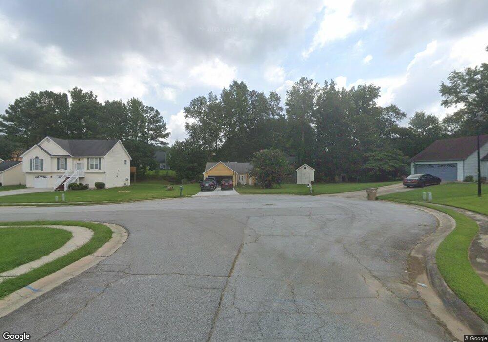
413 Westside Dr Unit 2 Jonesboro, GA 30238
Estimated Value: $231,000 - $252,000
3
Beds
2
Baths
1,359
Sq Ft
$176/Sq Ft
Est. Value
About This Home
This home is located at 413 Westside Dr Unit 2, Jonesboro, GA 30238 and is currently estimated at $238,725, approximately $175 per square foot. 413 Westside Dr Unit 2 is a home located in Clayton County with nearby schools including Brown Elementary School, Mundys Mill Middle School, and Mundy's Mill High School.
Ownership History
Date
Name
Owned For
Owner Type
Purchase Details
Closed on
May 5, 2003
Sold by
Jones Carol L
Bought by
Flores Fredi L
Current Estimated Value
Home Financials for this Owner
Home Financials are based on the most recent Mortgage that was taken out on this home.
Original Mortgage
$118,960
Outstanding Balance
$51,702
Interest Rate
5.79%
Mortgage Type
FHA
Estimated Equity
$187,023
Purchase Details
Closed on
Feb 28, 1997
Sold by
Ramsey William
Bought by
Jones Carol
Create a Home Valuation Report for This Property
The Home Valuation Report is an in-depth analysis detailing your home's value as well as a comparison with similar homes in the area
Home Values in the Area
Average Home Value in this Area
Purchase History
| Date | Buyer | Sale Price | Title Company |
|---|---|---|---|
| Flores Fredi L | $119,900 | -- | |
| Jones Carol | $84,900 | -- |
Source: Public Records
Mortgage History
| Date | Status | Borrower | Loan Amount |
|---|---|---|---|
| Open | Flores Fredi L | $118,960 | |
| Closed | Jones Carol | $0 |
Source: Public Records
Tax History Compared to Growth
Tax History
| Year | Tax Paid | Tax Assessment Tax Assessment Total Assessment is a certain percentage of the fair market value that is determined by local assessors to be the total taxable value of land and additions on the property. | Land | Improvement |
|---|---|---|---|---|
| 2024 | $3,416 | $96,600 | $9,600 | $87,000 |
| 2023 | $3,458 | $95,760 | $9,600 | $86,160 |
| 2022 | $2,487 | $72,400 | $9,600 | $62,800 |
| 2021 | $1,931 | $57,920 | $9,600 | $48,320 |
| 2020 | $1,642 | $50,094 | $9,600 | $40,494 |
| 2019 | $1,433 | $44,355 | $6,400 | $37,955 |
| 2018 | $1,291 | $40,853 | $6,400 | $34,453 |
| 2017 | $928 | $31,864 | $6,400 | $25,464 |
| 2016 | $875 | $30,568 | $6,400 | $24,168 |
| 2015 | $861 | $0 | $0 | $0 |
| 2014 | $541 | $22,618 | $6,400 | $16,218 |
Source: Public Records
Map
Nearby Homes
- 445 Westside Dr
- 532 Flint Ridge Ct Unit 1
- 9000 Cornell Dr
- 631 Crestmont Ct
- 119 Dixboro Dr
- 151 Andover Dr
- 9066 Bob Jackson Dr
- 53 Diana Ct
- 692 Sedgwick Dr
- 755 Dunaire Way
- 49 Diana Ct
- 8762 E Bourne Dr
- 8857 Woodridge Ct
- 1368 Riverstone Dr Unit 97
- 8843 Fayetteville Rd
- 8958 Sterling Ridge Ln
- 110 Flint River Rd
- 8572 Kendrick Rd
- 9579 Fayetteville Rd
- 9579 Highway 54 W
- 421 Westside Dr Unit 3
- 405 Westside Dr
- 9085 Whaleys Lake Ln Unit 4
- 9093 Whaleys Lake Ln Unit 4
- 9077 Whaleys Lake Ln
- 429 Westside Dr Unit 3
- 397 Westside Dr Unit 2
- 396 Westside Dr
- 9101 Whaleys Lake Ln
- 9069 Whaleys Lake Ln Unit 4
- 420 Fieldgreen Dr
- 412 Fieldgreen Dr
- 437 Westside Dr Unit 3
- 389 Westside Dr
- 402 Fieldgreen Dr Unit 1
- 388 Westside Dr
- 9061 Whaleys Lake Ln Unit 4
- 394 Fieldgreen Dr Unit 2
- 449 Sunnyhill Dr Unit 3
- 430 Westside Dr