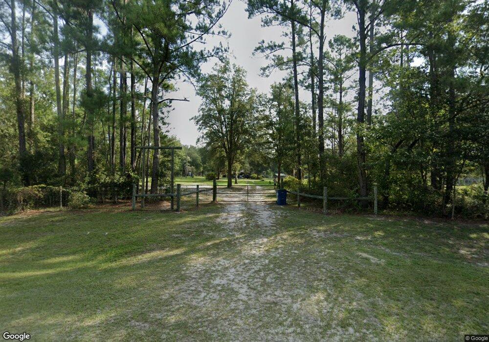
4130 Riverside Rd Nahunta, GA 31553
Estimated Value: $407,540 - $532,000
3
Beds
2
Baths
1,456
Sq Ft
$321/Sq Ft
Est. Value
About This Home
This home is located at 4130 Riverside Rd, Nahunta, GA 31553 and is currently estimated at $467,180, approximately $320 per square foot. 4130 Riverside Rd is a home located in Brantley County with nearby schools including Nahunta Primary School, Nahunta Elementary School, and Brantley County Middle School.
Ownership History
Date
Name
Owned For
Owner Type
Purchase Details
Closed on
Mar 17, 2017
Sold by
Mickler William Alfred
Bought by
Clayton Theodore B and Clayton Katie D
Current Estimated Value
Home Financials for this Owner
Home Financials are based on the most recent Mortgage that was taken out on this home.
Original Mortgage
$228,000
Outstanding Balance
$112,931
Interest Rate
3.35%
Mortgage Type
New Conventional
Estimated Equity
$354,249
Purchase Details
Closed on
Jan 3, 2012
Sold by
Mickler William Alfred
Bought by
Mickler William Alfred
Create a Home Valuation Report for This Property
The Home Valuation Report is an in-depth analysis detailing your home's value as well as a comparison with similar homes in the area
Home Values in the Area
Average Home Value in this Area
Purchase History
| Date | Buyer | Sale Price | Title Company |
|---|---|---|---|
| Clayton Theodore B | $285,000 | -- | |
| Mickler William Alfred | -- | -- | |
| Mickler William Alfred | -- | -- |
Source: Public Records
Mortgage History
| Date | Status | Borrower | Loan Amount |
|---|---|---|---|
| Open | Clayton Theodore B | $228,000 |
Source: Public Records
Tax History Compared to Growth
Tax History
| Year | Tax Paid | Tax Assessment Tax Assessment Total Assessment is a certain percentage of the fair market value that is determined by local assessors to be the total taxable value of land and additions on the property. | Land | Improvement |
|---|---|---|---|---|
| 2024 | $2,624 | $108,132 | $43,901 | $64,231 |
| 2023 | $322 | $96,039 | $31,808 | $64,231 |
| 2022 | $2,551 | $94,439 | $31,808 | $62,631 |
| 2021 | $2,311 | $85,808 | $31,808 | $54,000 |
| 2020 | $2,371 | $85,808 | $31,808 | $54,000 |
| 2019 | $2,360 | $85,808 | $31,808 | $54,000 |
| 2018 | $2,865 | $84,289 | $30,289 | $54,000 |
| 2017 | $2,573 | $75,690 | $30,289 | $45,401 |
| 2016 | $2,135 | $75,690 | $30,289 | $45,401 |
| 2015 | -- | $75,690 | $30,289 | $45,401 |
Source: Public Records
Map
Nearby Homes
- 87 Stephen Park Rd
- 91 Cane Cir
- 133 Stalkhill Rd
- 46 Christopher Cir
- 649 Chimney Rock Rd
- 29 Chisholm St
- 7126 U S 301
- 247 N Bluff Rd
- 0 Winokur Rock Rd Unit 16394425
- 0 Winokur Rock Rd Unit 1643990
- 331 Bluff Rd S
- 105 Crawford Rd
- 0-0 Foxwood Rd
- 0 Foxwood Rd
- 214 Fifth Ave
- 0 Caney Bay Rd
- 1360 Douglas Fish Camp Rd
- 1507 Old Post Rd
- 3898 Old Hwy 259 Hwy
- 23715 Knox Rd
- 4202 Riverside Rd
- 4287 Riverside Rd
- 3969 Riverside Rd
- 3842 Riverside Rd
- 4477 Riverside Rd
- 3829 Riverside Rd
- 165 Riverside Rock Rd Rd
- 4802 Riverside Rd
- 4575 Riverside Rd
- 3650 Riverside Rd
- 3691 Riverside Rd
- 4880 Riverside Rd
- 158 Riverside Rock Rd
- 237 Sandalwood Ln
- 378 Sandalwood Ln
- 423 Banner Trail
- 4898 Riverside Rd
- 415 Banner Trail
- 797 Banner Trail
- 29440 Knox Rd
