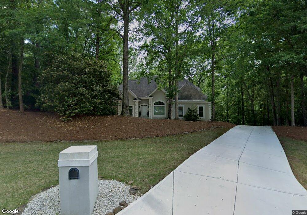
4130 Runnymede Dr SW Unit 2 Lilburn, GA 30047
Estimated Value: $702,494 - $889,000
4
Beds
4
Baths
3,808
Sq Ft
$206/Sq Ft
Est. Value
About This Home
This home is located at 4130 Runnymede Dr SW Unit 2, Lilburn, GA 30047 and is currently estimated at $786,124, approximately $206 per square foot. 4130 Runnymede Dr SW Unit 2 is a home located in Gwinnett County with nearby schools including Head Elementary School, Five Forks Middle School, and Brookwood High School.
Ownership History
Date
Name
Owned For
Owner Type
Purchase Details
Closed on
Jul 25, 2001
Sold by
Taylor Pamela K
Bought by
Bryd Orrin D and Bryd Dinettie D
Current Estimated Value
Home Financials for this Owner
Home Financials are based on the most recent Mortgage that was taken out on this home.
Original Mortgage
$318,250
Outstanding Balance
$125,559
Interest Rate
7.63%
Mortgage Type
New Conventional
Estimated Equity
$660,565
Create a Home Valuation Report for This Property
The Home Valuation Report is an in-depth analysis detailing your home's value as well as a comparison with similar homes in the area
Home Values in the Area
Average Home Value in this Area
Purchase History
| Date | Buyer | Sale Price | Title Company |
|---|---|---|---|
| Bryd Orrin D | $335,000 | -- |
Source: Public Records
Mortgage History
| Date | Status | Borrower | Loan Amount |
|---|---|---|---|
| Open | Bryd Orrin D | $318,250 |
Source: Public Records
Tax History Compared to Growth
Tax History
| Year | Tax Paid | Tax Assessment Tax Assessment Total Assessment is a certain percentage of the fair market value that is determined by local assessors to be the total taxable value of land and additions on the property. | Land | Improvement |
|---|---|---|---|---|
| 2025 | $8,328 | $283,400 | $38,680 | $244,720 |
| 2024 | $8,539 | $284,680 | $38,680 | $246,000 |
| 2023 | $8,539 | $260,080 | $51,040 | $209,040 |
| 2022 | $7,527 | $237,440 | $48,640 | $188,800 |
| 2021 | $6,367 | $176,560 | $35,440 | $141,120 |
| 2020 | $6,408 | $176,560 | $35,440 | $141,120 |
| 2019 | $6,186 | $176,560 | $35,440 | $141,120 |
| 2018 | $5,334 | $146,960 | $28,360 | $118,600 |
| 2016 | $5,352 | $146,960 | $28,360 | $118,600 |
| 2015 | $5,411 | $146,960 | $28,360 | $118,600 |
| 2014 | -- | $146,960 | $28,360 | $118,600 |
Source: Public Records
Map
Nearby Homes
- 4070 Runnymede Dr SW
- 1535 Pathfinder Way SW Unit 1
- 1394 Rustlewood Ct SW
- 1102 Timber Glen Ct SW
- 0 River Club Dr Unit 7650571
- 1640 Killian Hill Rd SW
- 1725 Spindle Top Ct SW
- 1732 Beauregard Dr SW
- 3868 Buckland Dr SW
- 4107 Signal Ridge SW
- 1530 Oleander Ln SW
- 4166 Signal Ridge SW
- 4377 Hardwood Cir SW Unit 2
- 4171 Whispering Forest Ct SW
- 1315 Killian Shoals Way SW
- 4327 Saint Michaels Dr SW
- 4120 Runnymede Dr SW
- 4140 Runnymede Dr SW
- 1545 Runnymede Ct SW Unit 2
- 4110 Runnymede Dr SW Unit 1
- 1540 Runnymede Ct SW Unit 2
- 4100 Runnymede Dr SW
- 4155 Runnymede Dr SW
- 1525 Runnymede Ct SW
- 4150 Runnymede Dr SW
- 4115 Runnymede Dr SW
- 1530 Runnymede Ct SW Unit 2
- 4090 Runnymede Dr SW
- 4105 Runnymede Dr SW
- 4165 Runnymede Dr SW Unit 2
- 1426 Oleander Dr SW
- 1505 Runnymede Ct SW Unit 2
- 1510 Runnymede Ct SW
- 4095 Runnymede Dr SW
- 4175 Runnymede Dr SW
- 4160 Runnymede Dr SW