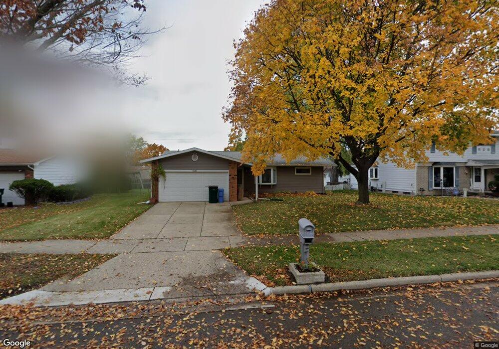
4130 Sheffield Blvd Lansing, MI 48911
Lansing-Eaton NeighborhoodEstimated Value: $164,000 - $190,000
3
Beds
2
Baths
1,284
Sq Ft
$139/Sq Ft
Est. Value
About This Home
This home is located at 4130 Sheffield Blvd, Lansing, MI 48911 and is currently estimated at $179,044, approximately $139 per square foot. 4130 Sheffield Blvd is a home located in Eaton County with nearby schools including Averill Elementary School, Attwood School, and J.W. Sexton High School.
Ownership History
Date
Name
Owned For
Owner Type
Purchase Details
Closed on
Oct 21, 2009
Sold by
Secretary Of Housing & Urban Development
Bought by
Marzette Barbara Anne
Current Estimated Value
Home Financials for this Owner
Home Financials are based on the most recent Mortgage that was taken out on this home.
Original Mortgage
$33,600
Outstanding Balance
$21,974
Interest Rate
5.11%
Mortgage Type
New Conventional
Estimated Equity
$157,070
Purchase Details
Closed on
Jan 27, 2009
Sold by
National City Real Estate Services Llc
Bought by
The Secretary Of Housing & Urban Develop
Purchase Details
Closed on
Jul 24, 2008
Sold by
Drane Binnie S and Drane Evangeline D
Bought by
National City Real Estate Services Llc
Purchase Details
Closed on
Feb 22, 2007
Sold by
Drane Binnie S and Drane Evangeline D
Bought by
National City Real Estate Services Llc
Create a Home Valuation Report for This Property
The Home Valuation Report is an in-depth analysis detailing your home's value as well as a comparison with similar homes in the area
Home Values in the Area
Average Home Value in this Area
Purchase History
| Date | Buyer | Sale Price | Title Company |
|---|---|---|---|
| Marzette Barbara Anne | -- | None Available | |
| The Secretary Of Housing & Urban Develop | -- | None Available | |
| National City Real Estate Services Llc | $124,506 | None Available | |
| National City Real Estate Services Llc | $121,894 | None Available |
Source: Public Records
Mortgage History
| Date | Status | Borrower | Loan Amount |
|---|---|---|---|
| Open | Marzette Barbara Anne | $33,600 |
Source: Public Records
Tax History
| Year | Tax Paid | Tax Assessment Tax Assessment Total Assessment is a certain percentage of the fair market value that is determined by local assessors to be the total taxable value of land and additions on the property. | Land | Improvement |
|---|---|---|---|---|
| 2025 | $2,881 | $79,200 | $0 | $0 |
| 2024 | $5,111 | $74,600 | $0 | $0 |
| 2023 | $5,111 | $67,600 | $0 | $0 |
| 2022 | $2,473 | $60,700 | $0 | $0 |
| 2021 | $2,375 | $53,900 | $0 | $0 |
| 2020 | $2,364 | $51,400 | $0 | $0 |
| 2019 | $2,301 | $46,500 | $0 | $0 |
| 2018 | $2,139 | $38,700 | $0 | $0 |
| 2017 | $2,093 | $37,100 | $0 | $0 |
| 2016 | $1,651 | $37,100 | $0 | $0 |
| 2015 | -- | $37,200 | $0 | $0 |
| 2014 | -- | $38,600 | $0 | $0 |
| 2013 | -- | $40,200 | $0 | $0 |
Source: Public Records
Map
Nearby Homes
- 4130 Windward Dr
- 4400 Chadburne Dr
- 3725 Alpine Dr
- 3700 W Holmes Rd
- 3924 Wedgewood Dr
- 3214 Rayborn Dr
- 3618 Malibu Dr
- 3536 Maybel St
- 3600 Sandhurst Dr
- 2 Locust Ln
- 4632 Old Lansing Rd
- 2800 S Waverly Rd
- 5012 Westhill Dr
- 3100 Glenbrook Dr
- 2838 Sunderland Rd
- 3230 S Deerfield Ave
- 3428 W Jolly Rd
- 3401 S Deerfield Ave
- 0 S Deerfield Ave
- 3344 Brisbane Dr
- 4124 Sheffield Blvd
- 4138 Sheffield Blvd
- 4131 Rivershell Ln
- 4118 Sheffield Blvd
- 4137 Rivershell Ln
- 4125 Rivershell Ln
- 4144 Sheffield Blvd
- 4143 Rivershell Ln
- 4117 Rivershell Ln
- 4110 Sheffield Blvd
- 4150 Sheffield Blvd
- 4133 Sheffield Blvd
- 4127 Sheffield Blvd
- 4139 Sheffield Blvd
- 4109 Rivershell Ln
- 4149 Rivershell Ln
- 4121 Sheffield Blvd
- 4145 Sheffield Blvd
- 4107 Rivershell Ln
- 4100 Sheffield Blvd
Your Personal Tour Guide
Ask me questions while you tour the home.