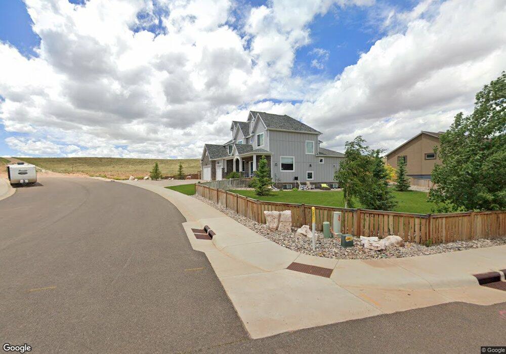
4131 Shoshone Dr Laramie, WY 82072
Estimated Value: $938,000 - $1,057,906
7
Beds
5
Baths
4,300
Sq Ft
$229/Sq Ft
Est. Value
About This Home
This home is located at 4131 Shoshone Dr, Laramie, WY 82072 and is currently estimated at $984,977, approximately $229 per square foot. 4131 Shoshone Dr is a home with nearby schools including Indian Paintbrush Elementary School, Laramie Middle School, and Laramie High School.
Ownership History
Date
Name
Owned For
Owner Type
Purchase Details
Closed on
Mar 21, 2023
Sold by
Lockhart Matthew G and Lockhart Davina A
Bought by
Lockhart Family Living Trust
Current Estimated Value
Purchase Details
Closed on
May 6, 2016
Sold by
Murthy Siddhartha and Murthy Carrie Anne
Bought by
Lockhart Matthew G and Lockhart Davina A
Home Financials for this Owner
Home Financials are based on the most recent Mortgage that was taken out on this home.
Original Mortgage
$59,000
Interest Rate
3.71%
Mortgage Type
Purchase Money Mortgage
Create a Home Valuation Report for This Property
The Home Valuation Report is an in-depth analysis detailing your home's value as well as a comparison with similar homes in the area
Home Values in the Area
Average Home Value in this Area
Purchase History
| Date | Buyer | Sale Price | Title Company |
|---|---|---|---|
| Lockhart Family Living Trust | -- | -- | |
| Lockhart Matthew G | -- | First American Title |
Source: Public Records
Mortgage History
| Date | Status | Borrower | Loan Amount |
|---|---|---|---|
| Previous Owner | Lockhart Matthew G | $59,000 |
Source: Public Records
Tax History Compared to Growth
Tax History
| Year | Tax Paid | Tax Assessment Tax Assessment Total Assessment is a certain percentage of the fair market value that is determined by local assessors to be the total taxable value of land and additions on the property. | Land | Improvement |
|---|---|---|---|---|
| 2025 | $7,697 | $85,222 | $11,795 | $73,427 |
| 2024 | $7,697 | $105,438 | $15,159 | $90,279 |
| 2023 | $7,347 | $100,646 | $11,593 | $89,053 |
| 2022 | $6,877 | $94,207 | $9,535 | $84,672 |
| 2021 | $0 | $85,941 | $9,092 | $76,849 |
| 2020 | $5,570 | $76,302 | $8,914 | $67,388 |
| 2019 | $5,635 | $77,188 | $8,454 | $68,734 |
| 2018 | $5,396 | $73,923 | $8,402 | $65,521 |
| 2017 | $613 | $8,402 | $8,402 | $0 |
| 2016 | -- | $4,052 | $4,052 | $0 |
Source: Public Records
Map
Nearby Homes
- 4324 Pueblo Dr
- 4421 Shoshone Dr
- 1050 N Indian Hills Dr
- 4106 Kiowa Dr
- 4341 E Crow Dr
- 3734 Reynolds St
- 1651 Fox Ridge Rd
- TBD Hayford Ave
- 1772 Eaglecrest Ct
- 1071 Duna Dr
- 1062 Bonita Dr
- 2919 Plains St
- 2719 Nighthawk Dr
- 2611 Reynolds St Unit A
- 1766 N 23rd St
- 2130 Edward Dr
- 2122 E Curtis St
- 1554 Henry Dr
- 417 Stetson Ct
- 1150 N 18th St
- 4130 Shoshone Dr
- 1660 Indian Hills Dr
- 4209 Shoshone Dr
- 4206 Shoshone Dr
- 4212 Mojave Dr
- 1556 Indian Hills Dr
- 4205 Chippewa Dr
- 4217 Shoshone Dr
- 4214 Shoshone Dr
- 4211 Mojave Dr
- 4215 Chippewa Dr
- 4318 Mojave Dr
- 4225 Shoshone Dr
- 4313 Mojave Dr
- 4222 Shoshone Dr
- 4221 Chippewa Dr
- 4324 Mojave Dr
- 4323 Mojave Dr
- 1462 Indian Hills Dr
- 4313 Shoshone Dr