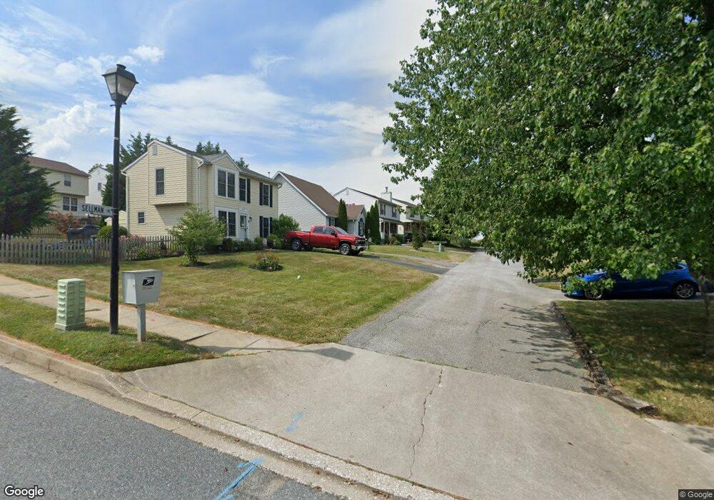
4132 Sellman Dr Hampstead, MD 21074
Estimated Value: $401,000 - $460,000
About This Home
This home is located at 4132 Sellman Dr, Hampstead, MD 21074 and is currently estimated at $423,611, approximately $266 per square foot. 4132 Sellman Dr is a home located in Carroll County with nearby schools including Spring Garden Elementary School, Shiloh Middle School, and Manchester Valley High School.
Ownership History
We collect this data history from publicly available records. To have your information removed, we recommend requesting removal directly through your county’s website.
Purchase Details
Purchase Details
Purchase Details
Home Values in the Area
Average Home Value in this Area
Purchase History
We collect this data history from publicly available records. To have your information removed, we recommend requesting removal directly through your county’s website.
| Date | Buyer | Sale Price | Title Company |
|---|---|---|---|
| $245,000 | -- | ||
| $127,500 | -- | ||
| $116,900 | -- |
Mortgage History
We collect this data history from publicly available records. To have your information removed, we recommend requesting removal directly through your county’s website.
| Date | Status | Borrower | Loan Amount |
|---|---|---|---|
| Closed | $106,500 | ||
| Closed | $159,200 | ||
| Closed | $200,000 |
Tax History
We collect this data history from publicly available records. To have your information removed, we recommend requesting removal directly through your county’s website.
| Year | Tax Paid | Tax Assessment Tax Assessment Total Assessment is a certain percentage of the fair market value that is determined by local assessors to be the total taxable value of land and additions on the property. | Land | Improvement |
|---|---|---|---|---|
| 2025 | $4,516 | $348,000 | $90,000 | $258,000 |
| 2024 | $4,286 | $325,867 | $0 | $0 |
| 2023 | $4,065 | $303,733 | $0 | $0 |
| 2022 | $3,855 | $281,600 | $85,000 | $196,600 |
| 2021 | $7,605 | $270,667 | $0 | $0 |
| 2020 | $3,554 | $259,733 | $0 | $0 |
| 2019 | $3,433 | $248,800 | $85,000 | $163,800 |
| 2018 | $3,350 | $244,500 | $0 | $0 |
| 2017 | $3,292 | $240,200 | $0 | $0 |
| 2016 | -- | $235,900 | $0 | $0 |
| 2015 | -- | $232,400 | $0 | $0 |
| 2014 | -- | $228,900 | $0 | $0 |
Map
- 0 Hanover Pike Unit MDCR2024542
- 4222 Upper Beckleysville Rd
- 4120 Hillcrest Ave
- TBD Sommerfield Dr
- TBD Sommerfield Dr Unit (5 ACRES)
- 4211 S Hunter Rd
- 1609 Fairmount Rd
- 4210 Mead Dr
- 3939 Brittany Ln
- 3838 Dakota Rd
- 3832 Dakota Rd
- 4022 Herdsman Dr
- 1151 Caton Rd
- 1740 Fairmount Rd
- 1026 Highfield Dr
- 3830 Normandy Dr Unit 1C
- 3810 Normandy Dr Unit 3D
- 974 Sugar Maple St
- 0 Black Rock Rd Unit MDCR2035422
- 920 N Houcksville Rd
- 4126 Sellman Dr
- 4138 Sellman Dr
- 4120 Sellman Dr
- 1427 Fairmount Rd
- 1429 Fairmount Rd
- 1425 Fairmount Rd
- 4150 Sellman Dr
- 1431 Fairmount Rd
- 1431 Fairmount Rd Unit THANKS
- 1433 Fairmount Rd
- 4102 Creswell Terrace
- 4104 Creswell Terrace
- 4106 Creswell Terrace
- 4108 Creswell Terrace
- 4100 Creswell Terrace
- 4110 Creswell Terrace
- 4116 Creswell Terrace
- 4122 Creswell Terrace
- 4120 Creswell Terrace
- 1428 Fairmount Rd
Ask me questions while you tour the home.