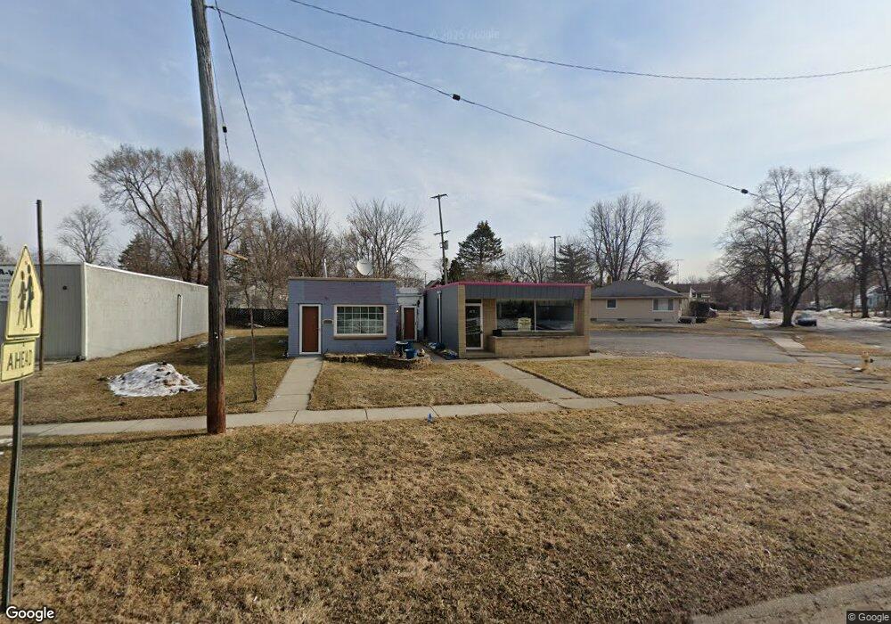
4133 Circle Dr Flint, MI 48507
Circle Drive NeighborhoodEstimated Value: $60,000
Studio
--
Bath
1,280
Sq Ft
$47/Sq Ft
Est. Value
About This Home
This home is located at 4133 Circle Dr, Flint, MI 48507 and is currently priced at $60,000, approximately $46 per square foot. 4133 Circle Dr is a home located in Genesee County with nearby schools including Freeman Elementary School, Flint Southwestern Classical Academy, and International Academy of Flint (K-12).
Ownership History
Date
Name
Owned For
Owner Type
Purchase Details
Closed on
May 5, 2023
Sold by
Hollis Damarco
Bought by
Mcneil Torrell Leeper
Current Estimated Value
Purchase Details
Closed on
Apr 27, 2018
Sold by
Starnes Patrick
Bought by
Gilliard Jason and Hollis Damarco
Purchase Details
Closed on
Oct 4, 2017
Sold by
Hobson Stephen
Bought by
Stames Patrick
Purchase Details
Closed on
Nov 13, 2001
Sold by
Hobson Dorothy J and Hobson Cecil C
Bought by
Hobson Stephen
Create a Home Valuation Report for This Property
The Home Valuation Report is an in-depth analysis detailing your home's value as well as a comparison with similar homes in the area
Home Values in the Area
Average Home Value in this Area
Purchase History
| Date | Buyer | Sale Price | Title Company |
|---|---|---|---|
| Mcneil Torrell Leeper | -- | None Listed On Document | |
| Gilliard Jason | $4,000 | None Available | |
| Stames Patrick | $5,000 | None Available | |
| Hobson Stephen | $22,599 | -- |
Source: Public Records
Tax History
| Year | Tax Paid | Tax Assessment Tax Assessment Total Assessment is a certain percentage of the fair market value that is determined by local assessors to be the total taxable value of land and additions on the property. | Land | Improvement |
|---|---|---|---|---|
| 2025 | $3,251 | $44,800 | $0 | $0 |
| 2024 | $2,945 | $44,600 | $0 | $0 |
| 2023 | $2,045 | $40,400 | $0 | $0 |
| 2022 | $0 | $39,800 | $0 | $0 |
| 2021 | $2,126 | $32,000 | $0 | $0 |
| 2020 | $1,910 | $29,700 | $0 | $0 |
| 2019 | $1,838 | $27,100 | $0 | $0 |
| 2018 | $1,941 | $26,800 | $0 | $0 |
| 2017 | $1,517 | $0 | $0 | $0 |
| 2016 | $1,504 | $0 | $0 | $0 |
| 2015 | -- | $0 | $0 | $0 |
| 2014 | -- | $0 | $0 | $0 |
| 2012 | -- | $20,600 | $0 | $0 |
Source: Public Records
Map
Nearby Homes
- 4126 Circle Dr
- 621 Burroughs Ave
- 630 Buckingham Ave
- 4127 Custer Ave
- 420 Burroughs Ave
- 617 McKeighan Ave
- 530 McKeighan Ave
- 326 Burroughs Ave
- 352 Buckingham Ave
- 366 E Atherton Rd
- 720 Algonquin Ave
- 3914 Red Arrow Rd
- 3505 Comanche Ave
- 4424 Cheyenne Ave
- 1030 McKeighan Ave
- 4526 Milton Dr
- 3056 Shaw St
- 3193 Myrton St
- 2291 Kenneth St
- 3110 Menominee Ave
Your Personal Tour Guide
Ask me questions while you tour the home.