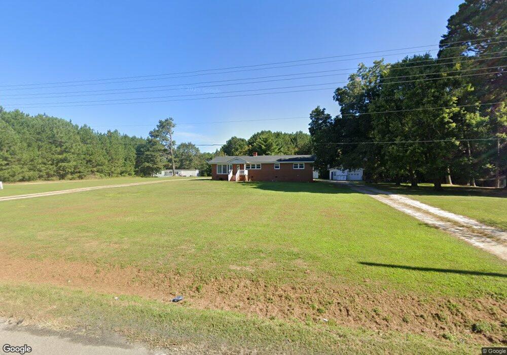
4133 Mitchell Mill Rd Wake Forest, NC 27587
Estimated Value: $307,000 - $421,000
3
Beds
2
Baths
1,269
Sq Ft
$285/Sq Ft
Est. Value
About This Home
This home is located at 4133 Mitchell Mill Rd, Wake Forest, NC 27587 and is currently estimated at $361,968, approximately $285 per square foot. 4133 Mitchell Mill Rd is a home located in Wake County with nearby schools including Harris Creek Elementary School, Rolesville Middle School, and Rolesville High School.
Ownership History
Date
Name
Owned For
Owner Type
Purchase Details
Closed on
Apr 26, 2002
Sold by
Lahoud Michael A
Bought by
National Business Partners Llc
Current Estimated Value
Purchase Details
Closed on
Jun 10, 1999
Sold by
Watkins Willie M and Watkins Martha T
Bought by
Lahoud Michael A
Home Financials for this Owner
Home Financials are based on the most recent Mortgage that was taken out on this home.
Original Mortgage
$111,600
Interest Rate
5.25%
Create a Home Valuation Report for This Property
The Home Valuation Report is an in-depth analysis detailing your home's value as well as a comparison with similar homes in the area
Home Values in the Area
Average Home Value in this Area
Purchase History
| Date | Buyer | Sale Price | Title Company |
|---|---|---|---|
| National Business Partners Llc | $360,000 | -- | |
| Lahoud Michael A | $124,000 | -- |
Source: Public Records
Mortgage History
| Date | Status | Borrower | Loan Amount |
|---|---|---|---|
| Previous Owner | Lahoud Michael A | $111,600 |
Source: Public Records
Tax History
| Year | Tax Paid | Tax Assessment Tax Assessment Total Assessment is a certain percentage of the fair market value that is determined by local assessors to be the total taxable value of land and additions on the property. | Land | Improvement |
|---|---|---|---|---|
| 2025 | $1,823 | $281,856 | $238,516 | $43,340 |
| 2024 | $1,593 | $281,856 | $238,516 | $43,340 |
Source: Public Records
Map
Nearby Homes
- 4028 Wesley Chapel Way
- 3517 Telluride Trail
- 4104 Lodge Allen Ct
- 3516 Telluride Trail
- 4100 Lodge Allen Ct
- 3509 Telluride Trail
- 3512 Telluride Trail
- 3505 Telluride Trail
- 8108 Braefield Dr
- 3904 Leeson Trail
- 3609 Bretton Mill Dr
- 4140 Stells Rd
- 4505 Mitchell Mill Rd
- 3822 Granite Mill Way
- 3814 Granite Mill Way
- 4416 Willow Lake Rd
- 8233 Marshall Brae Dr
- 3509 Pinkham Way
- 3016 Sandy Bluff Rd
- 3008 Sandy Bluff Rd
- 4133 Mitchell Mill Rd
- 4201 Mitchell Mill Rd
- 0 Mitchell Mill
- 4125 Mitchell Mill Rd
- 3901 Watkins Rd
- 4107 Mitchell Mill Rd
- 4108 Mitchell Mill Rd
- 3624 Louisbury Rd
- 3616 Louisbury Rd
- 3713 Castlegate Dr
- 3509 Birkwood Ct
- 4154 Taylor Oaks Dr
- 3513 Birkwood Ct
- 3505 Birkwood Ct
- 3709 Castlegate Dr
- 3512 Birkwood Ct
- 3705 Castlegate Dr
- 3501 Birkwood Ct
- 3612 Louisbury Rd
- 4216 Mitchell Mill Rd
Your Personal Tour Guide
Ask me questions while you tour the home.