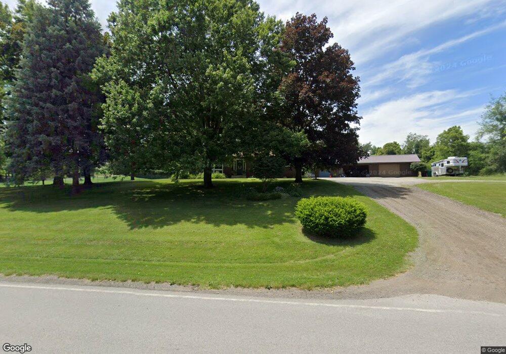
4134 N Fail Rd La Porte, IN 46350
Estimated Value: $302,000 - $316,668
3
Beds
2
Baths
1,394
Sq Ft
$222/Sq Ft
Est. Value
About This Home
This home is located at 4134 N Fail Rd, La Porte, IN 46350 and is currently estimated at $309,667, approximately $222 per square foot. 4134 N Fail Rd is a home located in LaPorte County with nearby schools including New Prairie High School and Sacred Heart Apostolic School.
Ownership History
Date
Name
Owned For
Owner Type
Purchase Details
Closed on
Mar 13, 2020
Sold by
Pointon Eric and Pointon Jillian
Bought by
Monhaut Kathryn M and Ames Brandon
Current Estimated Value
Home Financials for this Owner
Home Financials are based on the most recent Mortgage that was taken out on this home.
Original Mortgage
$166,250
Outstanding Balance
$147,238
Interest Rate
3.5%
Mortgage Type
New Conventional
Estimated Equity
$162,429
Purchase Details
Closed on
Oct 19, 2011
Sold by
Henderlong Marlee M
Bought by
Pointon Eric and Pointon Jillian
Home Financials for this Owner
Home Financials are based on the most recent Mortgage that was taken out on this home.
Original Mortgage
$128,653
Interest Rate
4.12%
Mortgage Type
FHA
Create a Home Valuation Report for This Property
The Home Valuation Report is an in-depth analysis detailing your home's value as well as a comparison with similar homes in the area
Home Values in the Area
Average Home Value in this Area
Purchase History
| Date | Buyer | Sale Price | Title Company |
|---|---|---|---|
| Monhaut Kathryn M | $175,000 | Meridian Title Corporation | |
| Pointon Eric | -- | Metropolitan Title |
Source: Public Records
Mortgage History
| Date | Status | Borrower | Loan Amount |
|---|---|---|---|
| Open | Monhaut Kathryn M | $166,250 | |
| Previous Owner | Pointon Eric | $128,653 |
Source: Public Records
Tax History Compared to Growth
Tax History
| Year | Tax Paid | Tax Assessment Tax Assessment Total Assessment is a certain percentage of the fair market value that is determined by local assessors to be the total taxable value of land and additions on the property. | Land | Improvement |
|---|---|---|---|---|
| 2024 | $1,838 | $191,600 | $36,000 | $155,600 |
| 2022 | $1,794 | $175,600 | $36,000 | $139,600 |
| 2021 | $1,794 | $167,500 | $36,000 | $131,500 |
| 2020 | $1,806 | $167,500 | $36,000 | $131,500 |
| 2019 | $1,770 | $160,400 | $36,000 | $124,400 |
| 2018 | $1,693 | $161,900 | $36,000 | $125,900 |
| 2017 | $1,568 | $152,600 | $30,000 | $122,600 |
| 2016 | $1,692 | $153,300 | $30,000 | $123,300 |
| 2014 | $1,180 | $133,800 | $24,000 | $109,800 |
Source: Public Records
Map
Nearby Homes
- 4233 N Blueridge Dr
- 4951 N Meadow Ct
- 4755 N Range Rd
- 5223 N Barclay
- 0 Route 20 Unit 155390
- Lots 41-44 Campbell
- 5405 N Campbell
- 2088 N 150 E
- 0 W 250 N
- 4711 N 100 W
- 2027 N Coachlight Dr
- 201 E 200 N
- 3202 N 300 E
- 1083 E State Road 2 Unit 559
- 344 E 650 N
- 6864 N Nature Ln
- 6862 N Nature Ln
- 2897 N Morning Glory Ave
- 2945 N Morning Glory Ave Unit 73
- 2983 N Morning Glory Ave Unit 72
- 4134 Fail Rd
- 4101 N Fail Rd
- 4104 N Fail Rd
- 4177 N Fail Rd
- 4177 N Fail Rd
- 4133 Fail Rd
- 4155 Fail Rd
- 4201 N Fail Rd
- 4201 N Fail Rd
- 4055 N Fail Rd
- 4055 N Fail Rd
- 4221 N Fail Rd
- 4221 Fail Rd
- 3994 N Fail Rd
- 4225 N Fail Rd
- 4122 N Holly Ct
- 3994 Fail Rd
- 1012 E Blueridge Dr
- 4142 N Holly Ct
- 1092 E Blueridge Dr