Estimated Value: $154,972 - $195,000
3
Beds
1
Bath
1,296
Sq Ft
$142/Sq Ft
Est. Value
About This Home
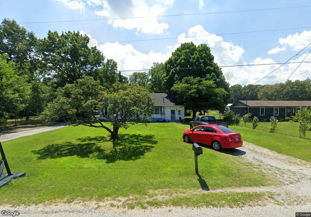
This home is located at 4135 E 216 S, Knox, IN 46534 and is currently estimated at $183,493, approximately $141 per square foot. 4135 E 216 S is a home located in Starke County with nearby schools including Knox Community Elementary School, Knox Community Middle School, and Knox Community High School.
Ownership History
Date
Name
Owned For
Owner Type
Purchase Details
Closed on
Apr 9, 2025
Sold by
Miller Heather A and Hatter Heather A
Bought by
Hatter Heather A and Hatter Eric W
Current Estimated Value
Purchase Details
Closed on
Feb 20, 2009
Sold by
Howard Timothy P
Bought by
Miller Heather A
Home Financials for this Owner
Home Financials are based on the most recent Mortgage that was taken out on this home.
Original Mortgage
$76,900
Interest Rate
5.06%
Mortgage Type
Purchase Money Mortgage
Create a Home Valuation Report for This Property
The Home Valuation Report is an in-depth analysis detailing your home's value as well as a comparison with similar homes in the area
Home Values in the Area
Average Home Value in this Area
Purchase History
| Date | Buyer | Sale Price | Title Company |
|---|---|---|---|
| Hatter Heather A | -- | First American Title | |
| Miller Heather A | $76,900 | Starke County Abstract Inc | |
| Miller Heather A | -- | None Available |
Source: Public Records
Mortgage History
| Date | Status | Borrower | Loan Amount |
|---|---|---|---|
| Previous Owner | Miller Heather A | $76,900 |
Source: Public Records
Tax History
| Year | Tax Paid | Tax Assessment Tax Assessment Total Assessment is a certain percentage of the fair market value that is determined by local assessors to be the total taxable value of land and additions on the property. | Land | Improvement |
|---|---|---|---|---|
| 2025 | $503 | $115,500 | $20,300 | $95,200 |
| 2024 | $503 | $105,200 | $19,400 | $85,800 |
| 2023 | $405 | $101,500 | $17,600 | $83,900 |
| 2022 | $405 | $89,600 | $16,400 | $73,200 |
| 2021 | $296 | $76,300 | $16,400 | $59,900 |
| 2020 | $308 | $69,000 | $16,400 | $52,600 |
| 2019 | $294 | $65,300 | $16,400 | $48,900 |
| 2018 | $291 | $65,200 | $16,400 | $48,800 |
| 2017 | $265 | $61,700 | $16,400 | $45,300 |
| 2016 | $262 | $61,300 | $16,400 | $44,900 |
| 2014 | $226 | $62,800 | $17,500 | $45,300 |
| 2013 | $228 | $65,200 | $17,500 | $47,700 |
Source: Public Records
Map
Nearby Homes
- 4189 E County Road 200 S
- 2260 S Us Highway 35
- 4395 E 200 S
- 2240 S 350 E
- 0 Pine St & Cannon Dr-Ne Corner
- 1103 Henry Dr
- 0 Carlson Dr
- 377 Henry Dr
- 3020 E 200 S
- 3395 U S 35
- 14.89 Acres W Culver Rd
- 703 S Main St
- 701 S Shield St
- 625 S East St
- 402 E Saint Louis St
- 601 S Heaton St
- 1675 U S 35
- 156 W Street Louis St
- 4152 S State Road 35
- 154 W New York St
Your Personal Tour Guide
Ask me questions while you tour the home.