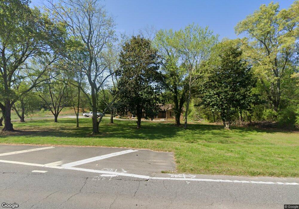
4135 Matt Hwy Cumming, GA 30028
Estimated Value: $485,000 - $509,000
3
Beds
3
Baths
1,992
Sq Ft
$250/Sq Ft
Est. Value
About This Home
This home is located at 4135 Matt Hwy, Cumming, GA 30028 and is currently estimated at $497,680, approximately $249 per square foot. 4135 Matt Hwy is a home located in Forsyth County with nearby schools including Coal Mountain Elementary School, North Forsyth Middle School, and North Forsyth High School.
Ownership History
Date
Name
Owned For
Owner Type
Purchase Details
Closed on
Aug 4, 2021
Sold by
Pruitt Randy
Bought by
Ravipati Pavani and Pullela Raghava Rao
Current Estimated Value
Home Financials for this Owner
Home Financials are based on the most recent Mortgage that was taken out on this home.
Original Mortgage
$332,500
Outstanding Balance
$302,345
Interest Rate
2.9%
Mortgage Type
New Conventional
Estimated Equity
$195,335
Purchase Details
Closed on
Sep 3, 2019
Sold by
Pruitt Marcie
Bought by
Pruitt Randy
Purchase Details
Closed on
May 24, 2007
Sold by
Pruitt Randy W
Bought by
3D Atlanta Llc
Purchase Details
Closed on
Nov 7, 2005
Sold by
Pruitt Lenora I
Bought by
Pruitt Marcie and Pruitt Randy
Home Financials for this Owner
Home Financials are based on the most recent Mortgage that was taken out on this home.
Original Mortgage
$104,000
Interest Rate
6.39%
Mortgage Type
New Conventional
Create a Home Valuation Report for This Property
The Home Valuation Report is an in-depth analysis detailing your home's value as well as a comparison with similar homes in the area
Home Values in the Area
Average Home Value in this Area
Purchase History
| Date | Buyer | Sale Price | Title Company |
|---|---|---|---|
| Ravipati Pavani | $365,000 | -- | |
| Pruitt Randy | $12,000 | -- | |
| 3D Atlanta Llc | $507,000 | -- | |
| Pruitt Marcie | $130,000 | -- |
Source: Public Records
Mortgage History
| Date | Status | Borrower | Loan Amount |
|---|---|---|---|
| Open | Ravipati Pavani | $332,500 | |
| Previous Owner | Pruitt Marcie | $104,000 |
Source: Public Records
Tax History Compared to Growth
Tax History
| Year | Tax Paid | Tax Assessment Tax Assessment Total Assessment is a certain percentage of the fair market value that is determined by local assessors to be the total taxable value of land and additions on the property. | Land | Improvement |
|---|---|---|---|---|
| 2025 | $4,526 | $182,468 | $65,504 | $116,964 |
| 2024 | $4,526 | $184,572 | $70,544 | $114,028 |
| 2023 | $4,029 | $163,692 | $55,428 | $108,264 |
| 2022 | $3,136 | $96,652 | $37,792 | $58,860 |
| 2021 | $2,669 | $96,652 | $37,792 | $58,860 |
| 2020 | $2,577 | $93,332 | $37,792 | $55,540 |
| 2019 | $2,088 | $81,772 | $26,592 | $55,180 |
| 2018 | $1,844 | $69,852 | $26,592 | $43,260 |
| 2017 | $1,621 | $61,576 | $20,996 | $40,580 |
| 2016 | $1,505 | $57,376 | $16,796 | $40,580 |
| 2015 | $1,508 | $57,376 | $16,796 | $40,580 |
| 2014 | $1,344 | $54,056 | $0 | $0 |
Source: Public Records
Map
Nearby Homes
- 6230 Dana Way
- 6445 Crystal Ln
- 7005 Walnut Mill Landing
- 4420 Belcrest Way
- 4555 Dennington Trace
- 3940 Twin Lakes Rd
- 4905 Rosarian Dr
- 4855 Rosarian Dr
- 4115 Sierra Vista Cir
- 4710 Rosarian Dr
- 4095 Sierra Vista Cir
- 3995 Sierra Lake Dr
- 3810 Sierra Lake Dr
- 3725 Sierra Lake Dr
- 3735 Sierra Lake Dr
- 4015 Sierra Vista Cir
- The Colton Plan at Sierra Lake
- The Beckett Plan at Sierra Lake
- The Charleston Plan at Sierra Lake
- The Claire Plan at Sierra Lake