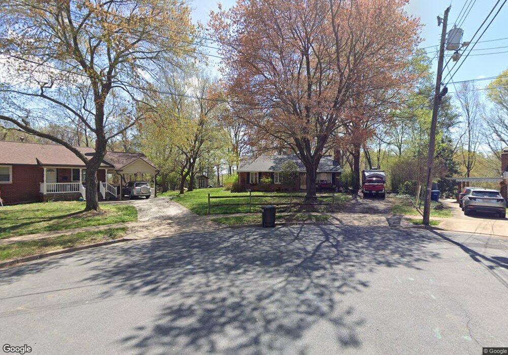
4135 Teton Place Alexandria, VA 22312
Estimated Value: $612,000 - $665,631
3
Beds
2
Baths
1,394
Sq Ft
$460/Sq Ft
Est. Value
About This Home
This home is located at 4135 Teton Place, Alexandria, VA 22312 and is currently estimated at $641,908, approximately $460 per square foot. 4135 Teton Place is a home located in Fairfax County with nearby schools including Parklawn Elementary School, Glasgow Middle School, and Justice High School.
Ownership History
Date
Name
Owned For
Owner Type
Purchase Details
Closed on
Aug 9, 2012
Sold by
Heather Est Catherine
Bought by
Smith Richard M and Lynch Mary K
Current Estimated Value
Home Financials for this Owner
Home Financials are based on the most recent Mortgage that was taken out on this home.
Original Mortgage
$252,000
Outstanding Balance
$174,820
Interest Rate
3.7%
Mortgage Type
New Conventional
Estimated Equity
$467,088
Create a Home Valuation Report for This Property
The Home Valuation Report is an in-depth analysis detailing your home's value as well as a comparison with similar homes in the area
Home Values in the Area
Average Home Value in this Area
Purchase History
| Date | Buyer | Sale Price | Title Company |
|---|---|---|---|
| Smith Richard M | $315,000 | -- |
Source: Public Records
Mortgage History
| Date | Status | Borrower | Loan Amount |
|---|---|---|---|
| Open | Smith Richard M | $252,000 |
Source: Public Records
Tax History Compared to Growth
Tax History
| Year | Tax Paid | Tax Assessment Tax Assessment Total Assessment is a certain percentage of the fair market value that is determined by local assessors to be the total taxable value of land and additions on the property. | Land | Improvement |
|---|---|---|---|---|
| 2025 | $6,857 | $551,050 | $251,000 | $300,050 |
| 2024 | $6,857 | $535,170 | $241,000 | $294,170 |
| 2023 | $6,594 | $535,170 | $241,000 | $294,170 |
| 2022 | $6,149 | $491,060 | $226,000 | $265,060 |
| 2021 | $5,897 | $463,720 | $216,000 | $247,720 |
| 2020 | $5,441 | $424,170 | $201,000 | $223,170 |
| 2019 | $5,281 | $409,540 | $199,000 | $210,540 |
| 2018 | $4,710 | $409,540 | $199,000 | $210,540 |
| 2017 | $4,780 | $377,770 | $181,000 | $196,770 |
| 2016 | $4,359 | $342,060 | $166,000 | $176,060 |
| 2015 | $4,067 | $329,090 | $163,000 | $166,090 |
| 2014 | $3,785 | $304,790 | $151,000 | $153,790 |
Source: Public Records
Map
Nearby Homes
- 6108 Larstan Dr
- 5953 Lowell Ave
- 5817 Dawes Ave
- 1045 Rynex Dr
- 6231 Yellowstone Dr
- 6323 Everglades Dr
- 6352 Hillcrest Place
- 5904 Carver Place
- 4600 Kling Dr
- 4614 Kling Dr
- 525 N Armistead St Unit T2
- 2508 N Shelley St
- 527 N Armistead St Unit T3
- 3800 Powell Ln Unit 1207
- 3800 Powell Ln Unit 519
- 523 N Armistead St Unit 102
- 4427 Brookside Dr
- 519 N Armistead St Unit T1
- 509 N Armistead St Unit 303
- 511 N Armistead St Unit T2
- 4133 Teton Place
- 4134 Teton Place
- 4201 Vicki Ct
- 4131 Teton Place
- 4132 Teton Place
- 4203 Vicki Ct
- 4210 Stanby Ct
- 4130 Teton Place
- 4200 Vicki Ct
- 4129 Teton Place
- 4205 Vicki Ct
- 4202 Vicki Ct
- 4212 Stanby Ct
- 4204 Vicki Ct
- 4208 Stanby Ct
- 6101 Tonto Ct
- 4207 Vicki Ct
- 4127 Teton Place
- 4206 Vicki Ct
- 6103 Tonto Ct