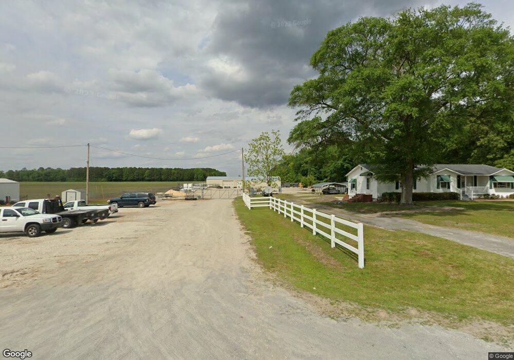
4136 Fields Station Rd La Grange, NC 28551
Estimated Value: $137,092 - $338,000
--
Bed
--
Bath
--
Sq Ft
0.88
Acres
About This Home
This home is located at 4136 Fields Station Rd, La Grange, NC 28551 and is currently estimated at $250,023. 4136 Fields Station Rd is a home located in Lenoir County with nearby schools including La Grange Elementary School, E.B. Frink Middle School, and North Lenoir High School.
Ownership History
Date
Name
Owned For
Owner Type
Purchase Details
Closed on
Mar 17, 2023
Sold by
Dudley Freda W
Bought by
Dudley Sherman S
Current Estimated Value
Purchase Details
Closed on
Nov 16, 2005
Sold by
Dudley Edward and Dudley Minnie
Bought by
Dudley Sherman S and Dudley Freda W
Purchase Details
Closed on
Oct 26, 2005
Sold by
Sutton Ruth Carolyn Colie and Russell Sutton S
Bought by
Dudley Edware and Dudley Minnie
Create a Home Valuation Report for This Property
The Home Valuation Report is an in-depth analysis detailing your home's value as well as a comparison with similar homes in the area
Home Values in the Area
Average Home Value in this Area
Purchase History
| Date | Buyer | Sale Price | Title Company |
|---|---|---|---|
| Dudley Sherman S | -- | None Listed On Document | |
| Dudley Sherman S | -- | None Listed On Document | |
| Dudley Sherman S | -- | None Available | |
| Dudley Edware | -- | None Available |
Source: Public Records
Tax History Compared to Growth
Tax History
| Year | Tax Paid | Tax Assessment Tax Assessment Total Assessment is a certain percentage of the fair market value that is determined by local assessors to be the total taxable value of land and additions on the property. | Land | Improvement |
|---|---|---|---|---|
| 2025 | $641 | $87,493 | $26,321 | $61,172 |
| 2024 | $388 | $41,968 | $15,488 | $26,480 |
| 2023 | $371 | $41,968 | $15,488 | $26,480 |
| 2022 | $371 | $41,968 | $15,488 | $26,480 |
| 2021 | $371 | $41,968 | $15,488 | $26,480 |
| 2020 | $371 | $41,968 | $15,488 | $26,480 |
| 2019 | $371 | $41,968 | $15,488 | $26,480 |
| 2018 | $365 | $41,968 | $15,488 | $26,480 |
| 2017 | $367 | $41,968 | $15,488 | $26,480 |
| 2014 | $419 | $47,884 | $15,488 | $32,396 |
| 2013 | -- | $47,884 | $15,488 | $32,396 |
| 2011 | -- | $47,884 | $15,488 | $32,396 |
Source: Public Records
Map
Nearby Homes
- 3733 Fields Station Rd
- Lot #2 Albert Sugg Rd
- 3216 Dexter Cir
- 3255 Caroline Nicole Dr
- 3821 Lindsey Ln
- 101 Forest Dr
- 3254 Kelly Rd
- 5130 Aldridge Store Rd
- 3145 Lakewood Dr Unit 3155
- 3101 Marion Heights Dr
- 6272 Highway 70 E
- Hayden Plan at Blair Ridge
- Freeport Plan at Blair Ridge
- Cali Plan at Blair Ridge
- Belhaven Plan at Blair Ridge
- 3619 S Caswell St
- 303 E James St
- 210 Wood St
- 201 Wood St
- 202 Wood St
- 4126 Fields Station Rd
- 4094 Fields Station Rd
- 4131 Norbert Hill Rd
- 4115 Norbert Hill Rd
- 4172 Norbert Hill Rd
- 4019 Fields Station Rd
- 4001 Fields Station Rd
- 4326 Norbert Hill Rd
- 3917 Fields Station Rd
- 4106 Eason Rd
- 2586 Albert Sugg Rd
- 4018 Eason Rd
- 4422 Fields Station Rd
- 4376 Norbert Hill Rd
- 4248 Eason Rd
- 4305 Eason Rd
- 4378 Norbert Hill Rd
- 4385 Norbert Hill Rd
- 1520 Sr
- 2799 Gregg Dr