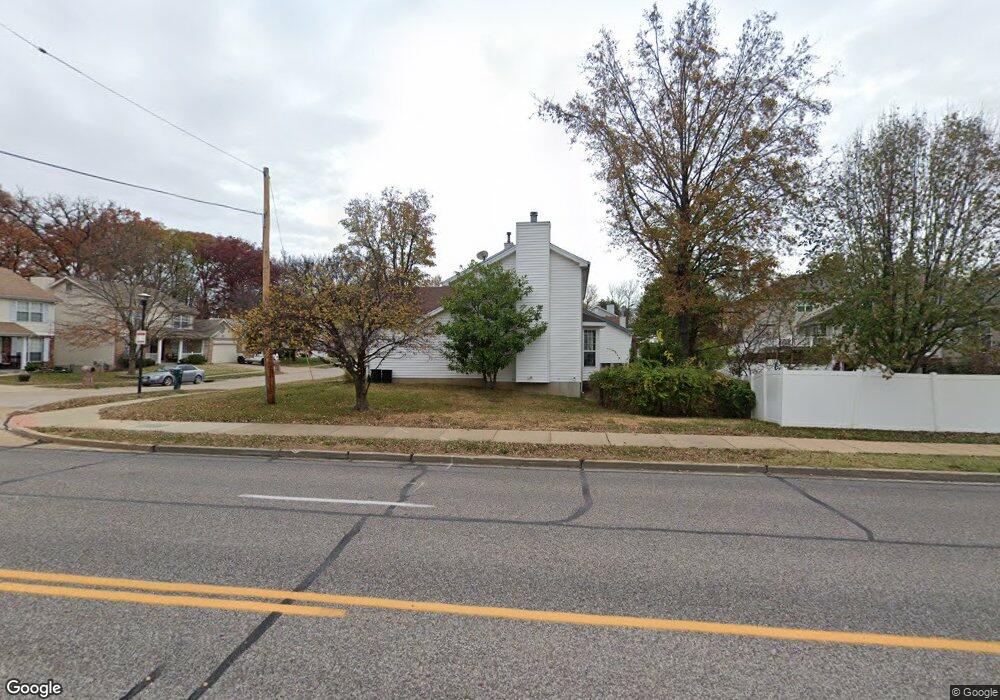
4136 Tiffany Trail Ct Saint Louis, MO 63129
Mehlville NeighborhoodEstimated Value: $375,393 - $423,000
4
Beds
3
Baths
2,016
Sq Ft
$199/Sq Ft
Est. Value
About This Home
This home is located at 4136 Tiffany Trail Ct, Saint Louis, MO 63129 and is currently estimated at $401,348, approximately $199 per square foot. 4136 Tiffany Trail Ct is a home located in St. Louis County with nearby schools including Blades Elementary School, Bernard Middle School, and Oakville Senior High School.
Ownership History
Date
Name
Owned For
Owner Type
Purchase Details
Closed on
Aug 28, 1998
Sold by
Rosenhauer Edward C and Rosenhauer Ruth D
Bought by
Stephenson Charles Ray and Stephenson Jacqueline H
Current Estimated Value
Home Financials for this Owner
Home Financials are based on the most recent Mortgage that was taken out on this home.
Original Mortgage
$119,900
Interest Rate
6.61%
Create a Home Valuation Report for This Property
The Home Valuation Report is an in-depth analysis detailing your home's value as well as a comparison with similar homes in the area
Home Values in the Area
Average Home Value in this Area
Purchase History
| Date | Buyer | Sale Price | Title Company |
|---|---|---|---|
| Stephenson Charles Ray | -- | -- |
Source: Public Records
Mortgage History
| Date | Status | Borrower | Loan Amount |
|---|---|---|---|
| Closed | Stephenson Charles Ray | $119,900 |
Source: Public Records
Tax History Compared to Growth
Tax History
| Year | Tax Paid | Tax Assessment Tax Assessment Total Assessment is a certain percentage of the fair market value that is determined by local assessors to be the total taxable value of land and additions on the property. | Land | Improvement |
|---|---|---|---|---|
| 2025 | $3,707 | $61,530 | $18,910 | $42,620 |
| 2024 | $3,707 | $55,180 | $8,190 | $46,990 |
| 2023 | $3,660 | $55,180 | $8,190 | $46,990 |
| 2022 | $3,116 | $47,180 | $8,190 | $38,990 |
| 2021 | $3,016 | $47,180 | $8,190 | $38,990 |
| 2020 | $2,785 | $41,400 | $8,090 | $33,310 |
| 2019 | $2,776 | $41,400 | $8,090 | $33,310 |
| 2018 | $1,898 | $25,440 | $6,760 | $18,680 |
| 2017 | $1,896 | $25,440 | $6,760 | $18,680 |
| 2016 | $1,826 | $23,500 | $6,760 | $16,740 |
| 2015 | $1,677 | $23,500 | $6,760 | $16,740 |
| 2014 | $2,193 | $30,540 | $9,160 | $21,380 |
Source: Public Records
Map
Nearby Homes
- 4101 Forder Circle Dr
- 4376 Tavistock Cir Unit 18D
- 4363 Tavistock Cir Unit 22C
- 9 Berview Cir Unit H
- 35 Berview Cir Unit E
- 1076 Humber Cir
- 1057 Mersey Bend Dr Unit C
- 4248 Kingbolt Blvd Unit D
- 1 Berview Cir Unit B
- 1084 Mersey Bend Dr Unit F
- 4923 Southridge Park Dr
- 4812 Idecker Ridge
- 1141 Sunbolt Dr Unit C
- 4347 Chateau de Ville Dr Unit G
- 4298 Chateau de Ville Dr Unit A
- 4374 Forest de Ville Dr Unit 32A
- 4353 Chateau de Ville Dr Unit D
- 643 Tanya Court Dr
- 4343 Chateau de Ville Dr
- 2838 Flintwood Dr
- 4130 Tiffany Trail Ct
- 4121 Forder Circle Dr
- 4139 Tiffany Trail Ct
- 4117 Forder Circle Dr
- 4133 Tiffany Trail Ct
- 4127 Tiffany Trail Ct
- 929 Forder Crossing Dr
- 4118 Tiffany Trail Ct
- 925 Forder Crossing Dr
- 4121 Tiffany Trail Ct
- 933 Forder Crossing Dr
- 921 Forder Crossing Dr
- 4109 Forder Circle Dr
- 917 Forder Crossing Dr
- 4120 Forder Circle Dr
- 4112 Tiffany Trail Ct
- 4115 Tiffany Trail Ct
- 4116 Forder Circle Dr
- 920 Forder Rd
- 913 Forder Crossing Dr