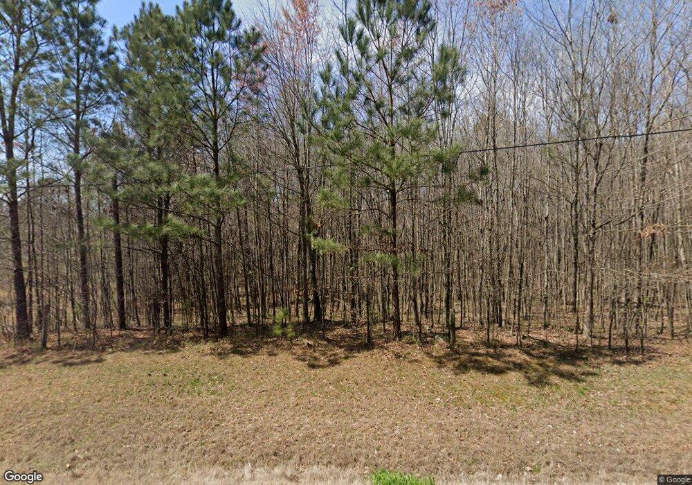
4138 Highway 95 Rock Spring, GA 30739
Rock Spring NeighborhoodEstimated Value: $363,060 - $416,000
--
Bed
2
Baths
2,194
Sq Ft
$179/Sq Ft
Est. Value
About This Home
This home is located at 4138 Highway 95, Rock Spring, GA 30739 and is currently estimated at $392,353, approximately $178 per square foot. 4138 Highway 95 is a home located in Walker County with nearby schools including Rock Spring Elementary School, Lafayette High School, and Alice M Daley Adventist School.
Ownership History
Date
Name
Owned For
Owner Type
Purchase Details
Closed on
Dec 20, 2017
Sold by
Bennett Harold E
Bought by
Burgan Candice Wittona and Burgan Charles Daniel
Current Estimated Value
Purchase Details
Closed on
Oct 10, 2006
Sold by
Not Provided
Bought by
Burgan Burgan Candice Wittona Candice Wittona and Burgan Charles Daniel
Purchase Details
Closed on
Aug 22, 1985
Bought by
Bennett Harold E and Bennett Judith
Create a Home Valuation Report for This Property
The Home Valuation Report is an in-depth analysis detailing your home's value as well as a comparison with similar homes in the area
Home Values in the Area
Average Home Value in this Area
Purchase History
| Date | Buyer | Sale Price | Title Company |
|---|---|---|---|
| Burgan Candice Wittona | -- | -- | |
| Burgan Burgan Candice Wittona Candice Wittona | -- | -- | |
| Bennett Harold E | $48,500 | -- |
Source: Public Records
Tax History Compared to Growth
Tax History
| Year | Tax Paid | Tax Assessment Tax Assessment Total Assessment is a certain percentage of the fair market value that is determined by local assessors to be the total taxable value of land and additions on the property. | Land | Improvement |
|---|---|---|---|---|
| 2024 | $3,168 | $142,881 | $19,585 | $123,296 |
| 2023 | $3,011 | $132,507 | $15,544 | $116,963 |
| 2022 | $2,865 | $115,876 | $14,086 | $101,790 |
| 2021 | $2,686 | $97,919 | $14,086 | $83,833 |
| 2020 | $2,320 | $80,731 | $14,086 | $66,645 |
| 2019 | $2,363 | $80,731 | $14,086 | $66,645 |
| 2018 | $2,136 | $80,731 | $14,086 | $66,645 |
| 2017 | $2,585 | $80,731 | $14,086 | $66,645 |
| 2016 | $2,056 | $80,731 | $14,086 | $66,645 |
| 2015 | $2,262 | $83,862 | $12,412 | $71,450 |
| 2014 | $2,130 | $83,862 | $12,412 | $71,450 |
| 2013 | -- | $83,861 | $12,412 | $71,449 |
Source: Public Records
Map
Nearby Homes
- 0 Tarvin Rd Unit 1523862
- 0 Clyde Byrd Rd
- 5062 Georgia 95
- 23 Oak Meadow Dr
- 533 Van Dell Dr
- 58 Oak Run
- 106 Meadow Oak Dr
- 1585 E Reed Rd
- 201 Van Dell Dr
- 1314 Mcintire Rd
- 287 E Teems Rd
- 1186 E Reed Rd
- 200 Ash Ln
- 57 McGaha Rd
- 0 Georgia 95
- 76 Side Kick Ln
- 1052 Huffman Rd
- 0 Veeler Rd Unit 1522679
- 0 Veeler Rd Unit 10628696
- 524 E Teems Rd
- 4244 Highway 95
- 4143 Highway 95 Unit 4143 & 4113
- 4143 Highway 95
- 4264 Highway 95
- 455 Tarvin Rd
- 1225 Clyde Byrd Rd
- 4238 Highway 95
- 4238 Highway 95
- 4145 Highway 95
- 4113 Georgia 95
- 4113 Highway 95
- 500 Tarvin Rd
- 1285 Clyde Byrd Rd
- 4065 Georgia 95
- 4065 Highway 95
- 1179 Clyde Byrd Rd
- 420 Tarvin Rd
- 853 Clyde Byrd Rd
- 00 Colbert Hollow Rd
- 4029 Highway 95
