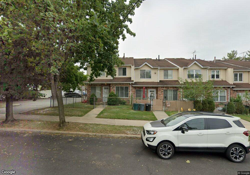
414 Arthur Kill Rd Staten Island, NY 10308
Great Kills NeighborhoodEstimated Value: $520,000 - $600,116
3
Beds
2
Baths
1,104
Sq Ft
$497/Sq Ft
Est. Value
About This Home
This home is located at 414 Arthur Kill Rd, Staten Island, NY 10308 and is currently estimated at $549,029, approximately $497 per square foot. 414 Arthur Kill Rd is a home located in Richmond County with nearby schools including P.S. 32 The Gifford School, I.S. 075 Frank D. Paulo, and Susan E Wagner High School.
Ownership History
Date
Name
Owned For
Owner Type
Purchase Details
Closed on
May 15, 2025
Sold by
Catricola Philip
Bought by
Catricola Gussie and Goldsmith Lisa
Current Estimated Value
Purchase Details
Closed on
Apr 12, 2001
Sold by
Shifrin Leonid and Shifrin Mila
Bought by
Catricola Philip and Catricola Gussie
Home Financials for this Owner
Home Financials are based on the most recent Mortgage that was taken out on this home.
Original Mortgage
$50,000
Interest Rate
6.88%
Purchase Details
Closed on
Feb 8, 2000
Sold by
Attanasio John D and Attanasio Antonina R
Bought by
Shifrin Leonard and Golubovich Mila
Home Financials for this Owner
Home Financials are based on the most recent Mortgage that was taken out on this home.
Original Mortgage
$85,000
Interest Rate
8.21%
Create a Home Valuation Report for This Property
The Home Valuation Report is an in-depth analysis detailing your home's value as well as a comparison with similar homes in the area
Home Values in the Area
Average Home Value in this Area
Purchase History
| Date | Buyer | Sale Price | Title Company |
|---|---|---|---|
| Catricola Gussie | -- | None Listed On Document | |
| Catricola Philip | $158,000 | Commonwealth Land Title Ins | |
| Shifrin Leonard | $120,000 | First American Title Ins Co |
Source: Public Records
Mortgage History
| Date | Status | Borrower | Loan Amount |
|---|---|---|---|
| Previous Owner | Catricola Philip | $50,000 | |
| Previous Owner | Shifrin Leonard | $85,000 |
Source: Public Records
Tax History Compared to Growth
Tax History
| Year | Tax Paid | Tax Assessment Tax Assessment Total Assessment is a certain percentage of the fair market value that is determined by local assessors to be the total taxable value of land and additions on the property. | Land | Improvement |
|---|---|---|---|---|
| 2025 | $3,834 | $26,760 | $5,549 | $21,211 |
| 2024 | $3,939 | $25,440 | $5,507 | $19,933 |
| 2023 | $3,990 | $22,891 | $5,212 | $17,679 |
| 2022 | $3,876 | $23,160 | $6,120 | $17,040 |
| 2021 | $3,799 | $22,740 | $6,120 | $16,620 |
| 2020 | $3,621 | $25,140 | $6,120 | $19,020 |
| 2019 | $3,332 | $21,840 | $6,120 | $15,720 |
| 2018 | $3,230 | $19,076 | $5,161 | $13,915 |
| 2017 | $3,213 | $18,931 | $5,799 | $13,132 |
| 2016 | $1,878 | $17,860 | $5,390 | $12,470 |
| 2015 | $1,527 | $16,850 | $5,061 | $11,789 |
| 2014 | $1,527 | $15,897 | $4,416 | $11,481 |
Source: Public Records
Map
Nearby Homes
- 416 Arthur Kill Rd
- 422 Arthur Kill Rd
- 424 Arthur Kill Rd
- 418 Arthur Kill Rd
- 408 Arthur Kill Rd
- 426 Arthur Kill Rd
- 406 Arthur Kill Rd
- 410 Arthur Kill Rd
- 404 Arthur Kill Rd
- 402 Arthur Kill Rd
- 504 Miles Ave
- 500 Miles Ave
- 506 Miles Ave
- 400 Arthur Kill Rd
- 131 Daleham St
- 135 Daleham St
- 510 Miles Ave
- 125 Daleham St
- 139 Daleham St
- 121 Daleham St