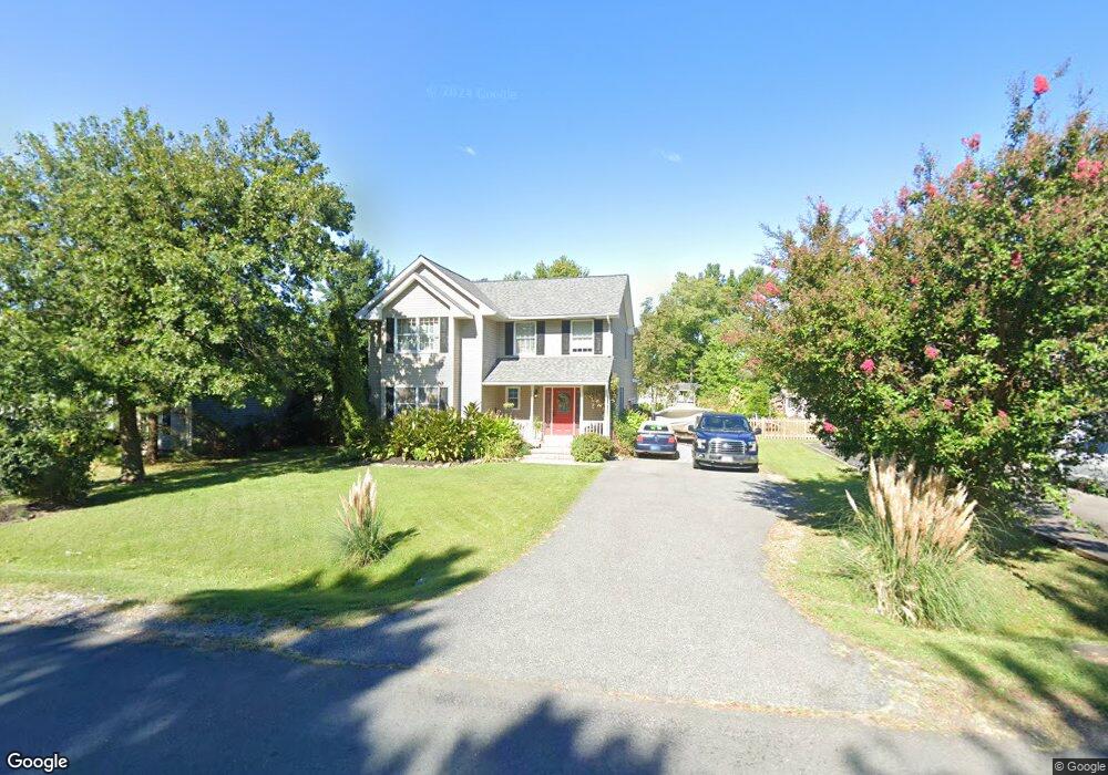
414 Calvert Rd Stevensville, MD 21666
Estimated Value: $534,000 - $623,000
--
Bed
3
Baths
2,324
Sq Ft
$248/Sq Ft
Est. Value
About This Home
This home is located at 414 Calvert Rd, Stevensville, MD 21666 and is currently estimated at $576,828, approximately $248 per square foot. 414 Calvert Rd is a home located in Queen Anne's County with nearby schools including Matapeake Elementary School, Matapeake Middle School, and Kent Island High School.
Ownership History
Date
Name
Owned For
Owner Type
Purchase Details
Closed on
May 3, 2000
Sold by
Fulton David E
Bought by
Kelley William C and Kelley Jennifer L
Current Estimated Value
Purchase Details
Closed on
Nov 20, 1997
Sold by
Hood William H
Bought by
Fulton David E and Roman Annie A
Purchase Details
Closed on
Apr 26, 1996
Sold by
Galc Inc
Bought by
Hood William H
Create a Home Valuation Report for This Property
The Home Valuation Report is an in-depth analysis detailing your home's value as well as a comparison with similar homes in the area
Home Values in the Area
Average Home Value in this Area
Purchase History
| Date | Buyer | Sale Price | Title Company |
|---|---|---|---|
| Kelley William C | $163,900 | -- | |
| Fulton David E | $148,000 | -- | |
| Hood William H | $34,200 | -- |
Source: Public Records
Mortgage History
| Date | Status | Borrower | Loan Amount |
|---|---|---|---|
| Closed | Hood William H | -- |
Source: Public Records
Tax History Compared to Growth
Tax History
| Year | Tax Paid | Tax Assessment Tax Assessment Total Assessment is a certain percentage of the fair market value that is determined by local assessors to be the total taxable value of land and additions on the property. | Land | Improvement |
|---|---|---|---|---|
| 2025 | $3,997 | $460,233 | $0 | $0 |
| 2024 | $3,785 | $420,367 | $0 | $0 |
| 2023 | $3,584 | $380,500 | $161,000 | $219,500 |
| 2022 | $3,557 | $377,567 | $0 | $0 |
| 2021 | $3,565 | $374,633 | $0 | $0 |
| 2020 | $3,565 | $371,700 | $161,000 | $210,700 |
| 2019 | $3,429 | $357,567 | $0 | $0 |
| 2018 | $3,294 | $343,433 | $0 | $0 |
| 2017 | $3,158 | $329,300 | $0 | $0 |
| 2016 | -- | $319,467 | $0 | $0 |
| 2015 | $1,594 | $309,633 | $0 | $0 |
| 2014 | $1,594 | $299,800 | $0 | $0 |
Source: Public Records
Map
Nearby Homes
- 423 Victoria Way
- 306 Irene Way
- 402 Moorings Cir
- 440 Moorings Cir Unit 85
- 298 Moorings Cir
- 127 Topside Dr
- 509 Moorings Cir Unit 249
- 312 Topside Dr Unit 223
- 821 Moorings Cir Unit 144
- 858 Moorings Cir Unit 11
- 912 Moorings Cir Unit 8
- 349 Topside Dr
- 312 William Way
- 802 Broadcreek Dr
- 105 Amanda Frances Ln
- 320 William Way
- 736 Moorings Cir Unit 35
- 119 Keenan Way
- 111 Keenan Way
- 515 Bayside Dr
- 412 Calvert Rd
- 416 Calvert Rd
- 410 Calvert Rd
- 418 Calvert Rd
- LOT 36 Calvert Rd
- 0 Calvert Rd
- 419 Victoria Way
- 417 Victoria Way
- 421 Victoria Way
- 420 Calvert Rd
- 415 Victoria Way
- 417 Calvert Rd
- 419 Calvert Rd
- 406 Calvert Rd
- 415 Calvert Rd
- 421 Calvert Rd
- 413 Victoria Way
- 422 Calvert Rd
- 202 Irene Way
- 423 Calvert Rd