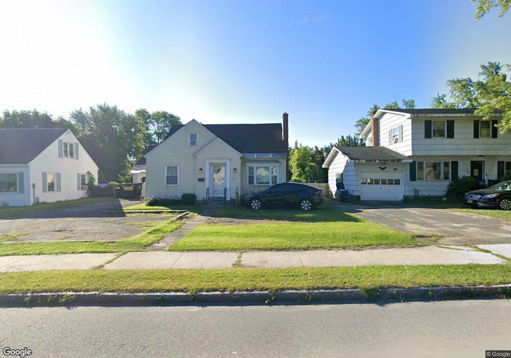
414 Dalton Ave Pittsfield, MA 01201
Estimated Value: $319,484 - $349,000
4
Beds
2
Baths
1,436
Sq Ft
$230/Sq Ft
Est. Value
About This Home
This home is located at 414 Dalton Ave, Pittsfield, MA 01201 and is currently estimated at $329,621, approximately $229 per square foot. 414 Dalton Ave is a home located in Berkshire County with nearby schools including Allendale Elementary School, Theodore Herberg Middle School, and Pittsfield High School.
Ownership History
Date
Name
Owned For
Owner Type
Purchase Details
Closed on
Jun 29, 1998
Sold by
Doyle Lucinda M
Bought by
Cookis Mark T and Cookis Robin K
Current Estimated Value
Purchase Details
Closed on
Jun 3, 1988
Sold by
Berger Stephen J
Bought by
Doyle Thomas H
Create a Home Valuation Report for This Property
The Home Valuation Report is an in-depth analysis detailing your home's value as well as a comparison with similar homes in the area
Home Values in the Area
Average Home Value in this Area
Purchase History
| Date | Buyer | Sale Price | Title Company |
|---|---|---|---|
| Cookis Mark T | $96,750 | -- | |
| Cookis Mark T | $96,750 | -- | |
| Doyle Thomas H | $96,000 | -- |
Source: Public Records
Mortgage History
| Date | Status | Borrower | Loan Amount |
|---|---|---|---|
| Open | Doyle Thomas H | $142,400 | |
| Closed | Doyle Thomas H | $125,000 |
Source: Public Records
Tax History
| Year | Tax Paid | Tax Assessment Tax Assessment Total Assessment is a certain percentage of the fair market value that is determined by local assessors to be the total taxable value of land and additions on the property. | Land | Improvement |
|---|---|---|---|---|
| 2025 | $5,005 | $279,000 | $66,100 | $212,900 |
| 2024 | $4,563 | $247,300 | $66,100 | $181,200 |
| 2023 | $4,283 | $233,800 | $66,100 | $167,700 |
| 2022 | $3,933 | $211,900 | $66,100 | $145,800 |
| 2021 | $3,388 | $176,000 | $66,100 | $109,900 |
| 2020 | $3,201 | $162,400 | $54,300 | $108,100 |
| 2019 | $2,975 | $153,200 | $49,100 | $104,100 |
| 2018 | $3,026 | $151,200 | $49,100 | $102,100 |
| 2017 | $2,858 | $145,600 | $47,200 | $98,400 |
| 2016 | $2,776 | $148,000 | $47,200 | $100,800 |
| 2015 | $2,673 | $148,000 | $47,200 | $100,800 |
Source: Public Records
Map
Nearby Homes
- 326 Dalton Ave
- 121 Elberon Ave
- 258 Dalton Ave
- 36 Pittsfield Ave
- 167 E Park Terrace
- 21 Ensign Ave
- 0 Stanley Ave
- 123 Broadview Terrace
- 81 Dartmouth St Unit 108
- 91 Dalton Ave
- 607 Crane Ave
- 40 Roland St
- 96 Broadview Terrace
- 74 Norman Ave
- 50 Grand Ave
- 71 Dickinson Ave
- 127 Oak Hill Rd
- I11001904 Scammell Ave
- 1842 East St
- 0 Faucett Ln
- 420 Dalton Ave
- 408 Dalton Ave
- 424 Dalton Ave
- 307 Connecticut Ave
- 315 Connecticut Ave
- 404 Dalton Ave
- 303 Connecticut Ave
- 329 Connecticut Ave
- 428 Dalton Ave
- 400 Dalton Ave
- 297 Connecticut Ave
- 415 Dalton Ave
- 419 Dalton Ave
- 396 Dalton Ave
- 409 Dalton Ave
- 423 Dalton Ave
- 308 Connecticut Ave
- 289 Connecticut Ave
- 302 Connecticut Ave
- 316 Connecticut Ave
Your Personal Tour Guide
Ask me questions while you tour the home.