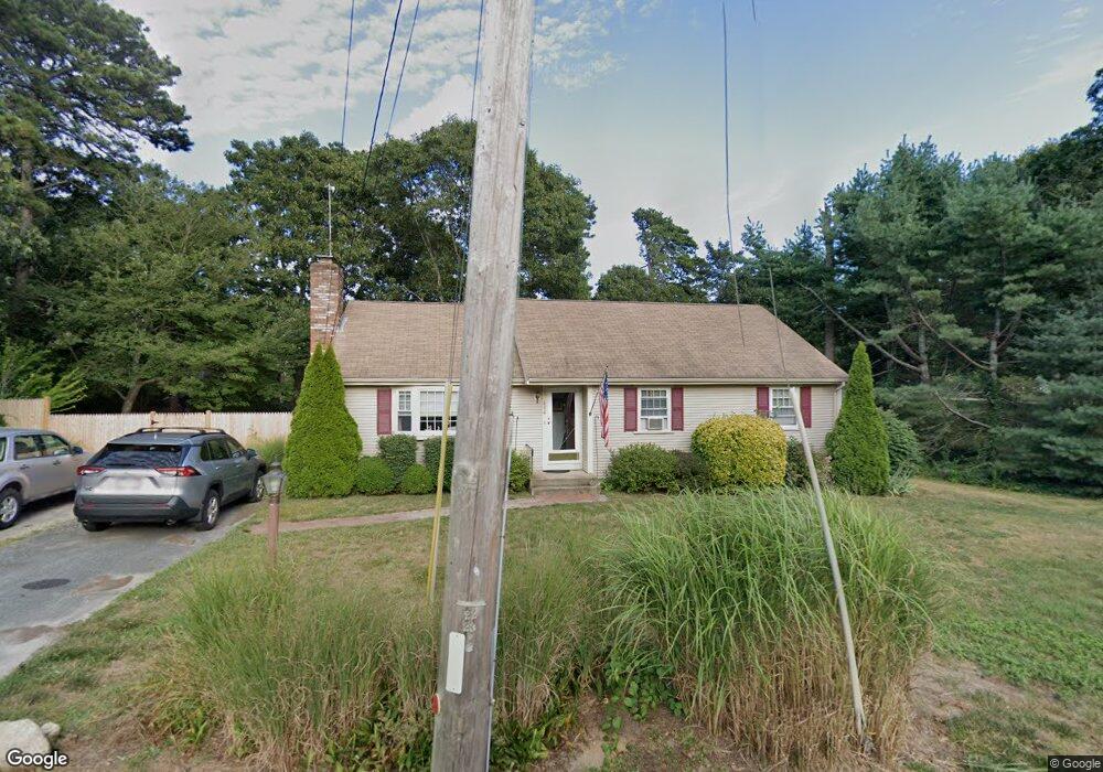
414 Depot St Dennis Port, MA 02639
Dennis Port NeighborhoodEstimated Value: $574,000 - $684,000
3
Beds
2
Baths
1,244
Sq Ft
$493/Sq Ft
Est. Value
About This Home
This home is located at 414 Depot St, Dennis Port, MA 02639 and is currently estimated at $613,072, approximately $492 per square foot. 414 Depot St is a home located in Barnstable County with nearby schools including Dennis-Yarmouth Regional High School and St. Pius X. School.
Ownership History
Date
Name
Owned For
Owner Type
Purchase Details
Closed on
Jun 16, 2000
Sold by
Callanan Deirdre G
Bought by
Carney James F and Carney Michelle A
Current Estimated Value
Purchase Details
Closed on
Feb 16, 1996
Sold by
Eldridge Raymond D
Bought by
Callanan Deirdre G
Create a Home Valuation Report for This Property
The Home Valuation Report is an in-depth analysis detailing your home's value as well as a comparison with similar homes in the area
Home Values in the Area
Average Home Value in this Area
Purchase History
| Date | Buyer | Sale Price | Title Company |
|---|---|---|---|
| Carney James F | $165,000 | -- | |
| Callanan Deirdre G | $10,000 | -- |
Source: Public Records
Mortgage History
| Date | Status | Borrower | Loan Amount |
|---|---|---|---|
| Open | Callanan Deirdre G | $100,000 | |
| Closed | Callanan Deirdre G | $25,000 | |
| Closed | Callanan Deirdre G | $84,000 |
Source: Public Records
Tax History Compared to Growth
Tax History
| Year | Tax Paid | Tax Assessment Tax Assessment Total Assessment is a certain percentage of the fair market value that is determined by local assessors to be the total taxable value of land and additions on the property. | Land | Improvement |
|---|---|---|---|---|
| 2025 | $2,313 | $534,100 | $146,000 | $388,100 |
| 2024 | $2,292 | $522,100 | $148,600 | $373,500 |
| 2023 | $2,217 | $474,700 | $135,100 | $339,600 |
| 2022 | $2,168 | $387,200 | $135,200 | $252,000 |
| 2021 | $2,006 | $332,600 | $119,300 | $213,300 |
| 2020 | $1,908 | $312,800 | $119,300 | $193,500 |
| 2019 | $1,813 | $293,800 | $117,000 | $176,800 |
| 2018 | $1,726 | $272,200 | $111,400 | $160,800 |
| 2017 | $1,642 | $267,000 | $111,400 | $155,600 |
| 2016 | $1,657 | $253,700 | $123,700 | $130,000 |
| 2015 | $1,624 | $253,700 | $123,700 | $130,000 |
| 2014 | $1,454 | $229,000 | $99,000 | $130,000 |
Source: Public Records
Map
Nearby Homes
- 11 Lane Rd
- 91 Depot Rd W
- 537 Depot St
- 24 Indian Trail
- 78 Upper County Rd Unit A&B
- 78 Upper County Rd
- 141 Division St
- 9 Country Ln
- 141 Division St
- 47 Telegraph Rd Unit 1
- 360 Center St
- 171 Searsville Rd
- 9 Bells Neck Rd Unit 10
- 12 Candlewood Ln Unit 2-9
- 10 Candlewood Ln Unit 2-1
- 116 Searsville Rd
- 20 Aunt Debbys Rd
- 45 Route 28
- 9 Mansion St
- 64 Smith St