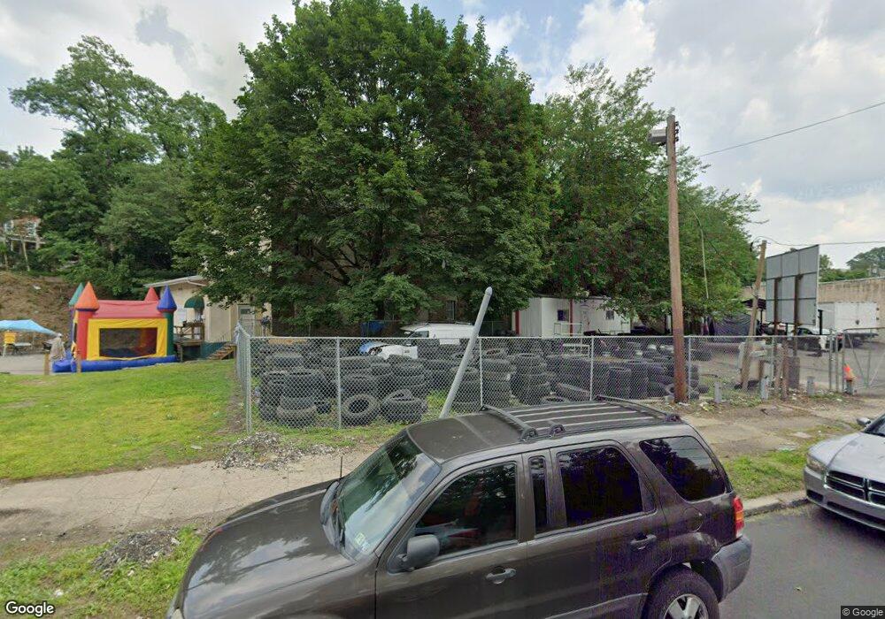
414 E Penn St Philadelphia, PA 19144
East Germantown Neighborhood
--
Bed
--
Bath
44,712
Sq Ft
1.24
Acres
About This Home
This home is located at 414 E Penn St, Philadelphia, PA 19144. 414 E Penn St is a home located in Philadelphia County with nearby schools including Roosevelt Theodore Middle School, Martin Luther King High School, and John Wister Elementary School.
Ownership History
Date
Name
Owned For
Owner Type
Purchase Details
Closed on
Jan 12, 2006
Sold by
414 East Penn Street Corp
Bought by
Belfield Community Development Corp
Home Financials for this Owner
Home Financials are based on the most recent Mortgage that was taken out on this home.
Original Mortgage
$232,076
Outstanding Balance
$130,002
Interest Rate
6.31%
Mortgage Type
Commercial
Create a Home Valuation Report for This Property
The Home Valuation Report is an in-depth analysis detailing your home's value as well as a comparison with similar homes in the area
Home Values in the Area
Average Home Value in this Area
Purchase History
| Date | Buyer | Sale Price | Title Company |
|---|---|---|---|
| Belfield Community Development Corp | $225,000 | None Available |
Source: Public Records
Mortgage History
| Date | Status | Borrower | Loan Amount |
|---|---|---|---|
| Open | Belfield Community Development Corp | $232,076 |
Source: Public Records
Tax History Compared to Growth
Tax History
| Year | Tax Paid | Tax Assessment Tax Assessment Total Assessment is a certain percentage of the fair market value that is determined by local assessors to be the total taxable value of land and additions on the property. | Land | Improvement |
|---|---|---|---|---|
| 2026 | $4,913 | $351,000 | $224,700 | $126,300 |
| 2025 | $4,913 | $351,000 | $224,700 | $126,300 |
| 2024 | $4,913 | $351,000 | $224,700 | $126,300 |
| 2023 | $4,913 | $351,000 | $224,700 | $126,300 |
| 2022 | $4,913 | $351,000 | $224,700 | $126,300 |
| 2021 | $4,913 | $0 | $0 | $0 |
| 2020 | $4,913 | $0 | $0 | $0 |
| 2019 | $4,913 | $0 | $0 | $0 |
| 2018 | $4,610 | $0 | $0 | $0 |
| 2017 | $4,610 | $0 | $0 | $0 |
| 2016 | $4,610 | $0 | $0 | $0 |
| 2015 | $4,413 | $0 | $0 | $0 |
| 2014 | -- | $329,300 | $211,100 | $118,200 |
| 2012 | -- | $11,840 | $7,840 | $4,000 |
Source: Public Records
Map
Nearby Homes
- 529 E Queen Ln
- 5301 Belfield Ave
- 540 E Ashmead St
- 83 E Ashmead St
- 5357 Belfield Ave
- 238 E Queen Ln
- 4995 Sheldon St
- 437 49 E Collom St
- 604 E Locust Ave
- 5220 Wakefield St
- 4950 Wakefield St
- 4937 Rubicam St
- 543 E Locust Ave
- 78 E Penn St
- 5335 Wakefield St
- 5154 Wakefield St
- 617 E Locust Ave
- 5502 Crowson St
- 345 E Armat St
- 5433 Wakefield St